





Seeing Tides from Space
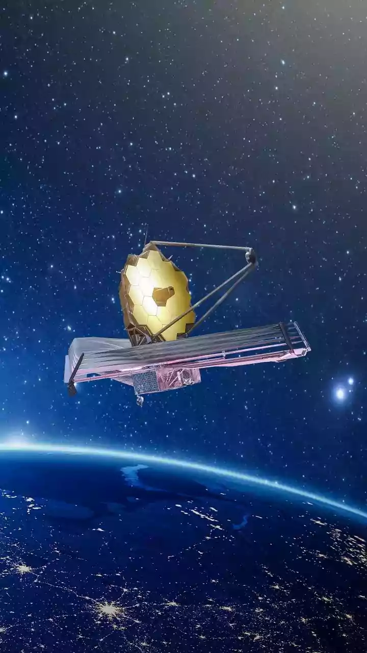
For centuries, measuring tides involved physical tide gauges at specific coastal points. While reliable, this method left vast stretches of coastline unmonitored. Satellite tide mapping changes this entirely. Using technologies like radar altimetry, satellites
measure the sea surface height from orbit, creating a global picture of tidal patterns. This isn't just about knowing if the tide is high or low; it's about understanding the complex dynamics of water movement across entire oceans and, increasingly, right up to the shore. Until recently, satellite data was too coarse for detailed coastal analysis, blurring details over kilometers. But new techniques and missions are providing a level of local detail that was previously impossible.
The 2026 Breakthrough
The year 2026 marks a significant moment due to advancements in processing data from multiple satellite missions. A revolutionary technique, highlighted in recent studies, uses decades of images from programs like Landsat to map tides at a hyper-local resolution of just 100 meters. Instead of measuring water height directly, this method cleverly uses the beach itself as a giant ruler. By tracking where the waterline sits on a sloping beach in thousands of images over time, scientists can calculate changes in sea level with incredible precision. This turns what was once considered photographic 'noise' into a valuable signal, revealing that tide levels can vary by almost a meter within a single bay—a variation missed by all previous systems. The continued analysis of data from missions like the Surface Water and Ocean Topography (SWOT) satellite, launched in late 2022, is providing even richer datasets, allowing for the mapping of not just oceans but nearly all the world's rivers and lakes. Preliminary data from SWOT is already demonstrating its potential to significantly reduce tide modeling errors in complex coastal regions.
Guarding India's Coastline
With a significant portion of its population and economic infrastructure located in coastal areas, India is highly vulnerable to storm surges and sea-level rise. High-resolution tidal data is a game-changer for disaster management. Accurate tide models are crucial for predicting the extent of coastal flooding, especially during cyclones. Combining satellite data with local tide gauges drastically improves storm surge forecasting. This enhanced predictive power allows for more effective early warnings and evacuation plans for vulnerable communities along the coasts of states like Odisha, Andhra Pradesh, and Tamil Nadu. Furthermore, this data is essential for India's Integrated Coastal Zone Management (ICZM) projects, helping to create more accurate coastal hazard maps and plan resilient infrastructure.
Powering the Blue Economy
Beyond safety, precise tide mapping has significant economic implications for India's 'Blue Economy'. The maritime sector, which handles over 95% of India's trade by volume, stands to benefit enormously. Detailed knowledge of coastal and open-ocean tides and currents allows shipping companies to optimize routes, saving fuel, reducing transit times, and lowering carbon emissions. Better data improves safety and navigation in busy ports and waterways. It also supports the fisheries sector by helping to understand how ocean dynamics affect marine ecosystems and fish populations. The data gathered by satellites like the NASA-ISRO Synthetic Aperture Radar (NISAR), launched in 2025, will further revolutionize the monitoring of water resources and coastal ecosystems, providing critical information for sustainable development.
The Future Is High-Resolution
The developments of 2026 are just the beginning. The integration of high-resolution satellite data with artificial intelligence and advanced ocean models will lead to even more powerful predictive tools. As more satellites from agencies like NASA, ISRO, and ESA contribute data, the gaps in our global ocean observing system will continue to shrink. This is particularly vital for regions in Asia and Africa that have historically had sparse tide gauge networks. By providing freely accessible, highly detailed information, satellite tide mapping is democratizing ocean data. This allows scientists, policymakers, and businesses in India to better understand, manage, and protect our most vital resource: the ocean.


