





What Defines a Cloudburst?
The term 'cloudburst' isn't just a dramatic phrase for heavy rain; it has a specific meteorological definition. According to the India Meteorological Department (IMD), a cloudburst is a rainfall event where 100 mm (or 10 cm) of rain falls within one hour
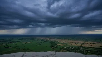
over a highly localised area, typically just 20 to 30 square kilometres. To put that in perspective, that amount of rain is a significant fraction of what many cities receive over an entire month, but delivered in just 60 minutes over a small patch of land. This intensity is what makes these events so destructive, as the ground and drainage systems are instantly overwhelmed, leading to flash floods and mudslides, particularly in hilly terrain.
The Science of a Sudden Deluge
Cloudbursts are born from massive, vertically developed cumulonimbus clouds, which can tower up to 15 kilometres high. The process is often supercharged in mountainous regions like the Himalayas. Here, warm, moist air, such as that carried by monsoon winds, is forced rapidly upward by the steep terrain in a process known as orographic lift. As this air ascends, it cools quickly, and the moisture condenses. Exceptionally strong upward air currents, or updrafts, can hold enormous quantities of water droplets and ice crystals suspended within the cloud, preventing them from falling as normal rain. A cloudburst occurs when these updrafts suddenly weaken, or when the accumulated water becomes too heavy, causing the entire volume of water to be released at once in a torrential downpour.
The Forecasting Blind Spot: Scale and Speed
One of the biggest reasons cloudbursts defy prediction lies in their scale. Most numerical weather prediction models divide the atmosphere into a grid, with each cell covering several square kilometres. These models forecast average weather conditions for each cell. However, a cloudburst is a hyper-local event, often occurring in an area smaller than a single grid cell, making it effectively invisible to standard models. Furthermore, the entire lifecycle of a cloudburst—from the rapid development of the cloud to the deluge—can take place in less than an hour. This speed is a stark contrast to large-scale weather systems like cyclones, which can be tracked for days, allowing ample time for warnings.
Limitations of Radar and Satellites
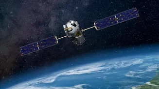
While Doppler weather radars are crucial tools, they also have limitations. Radar works by sending out beams of energy to detect precipitation. In mountainous regions, these beams can be physically blocked by high ridges, creating 'blind spots' in the very valleys that are most vulnerable to flash floods. Even when a developing storm is visible, the rapid evolution of a cloudburst leaves precious little lead time for a warning to be issued, disseminated, and acted upon. While satellites can monitor large-scale cloud cover, their resolution may not be fine enough to detect the specific conditions of an individual cloud that could produce a burst.
The Path to Better Warnings
Improving our ability to anticipate these events is a major focus for meteorologists. The key is 'nowcasting'—issuing alerts for the immediate future (0-3 hours) based on real-time data. Efforts are underway in India to expand the Doppler radar network, which would reduce blind spots and increase coverage. Scientists are also developing high-resolution weather models and using artificial intelligence to analyse complex data and identify patterns that might precede a cloudburst. Models like the Nowcasting of Extreme Orographic Rain (NETRA) are being used to identify vulnerable spots by analysing satellite data on cloud development in real-time. These technologies show promise in providing crucial minutes of lead time, which can be enough to save lives if alert systems are robust and communities are prepared.
A Changing Climate, A Growing Threat
The challenge of predicting cloudbursts is being compounded by climate change. A warmer atmosphere can hold more moisture—about 7% more for every 1°C rise in temperature. This supercharges the atmosphere, making more water available for extreme rainfall events. Evidence suggests that climate change is leading to more erratic rainfall patterns, with longer dry spells punctuated by short, intense bursts of rain. This means that while forecasting technology is improving, the frequency and intensity of the events it needs to predict are also increasing, creating a constantly moving target for weather agencies.