





A New Watchtower in the Sky
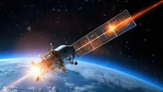
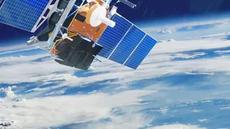
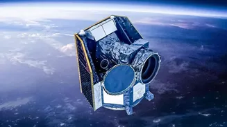
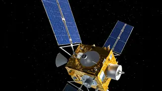
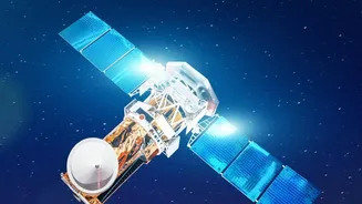
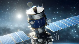
In early July, a SpaceX rocket carried a crucial payload into orbit: the first three operational satellites of the FireSat constellation. This initiative, a collaboration involving Google Research, the nonprofit Earth Fire Alliance, and satellite manufacturer
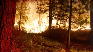
Muon Space, is not just another set of eyes in space; it is a purpose-built system designed specifically to hunt for the earliest signs of a wildfire. Unlike existing weather or Earth-observing satellites that can spot large fires, FireSat is engineered for a more urgent and precise mission: to find small fires before they explode into uncontrollable megafires that threaten lives and communities. It represents a significant strategic shift from monitoring large-scale environmental changes to enabling rapid, tactical response on the ground.
Sensing Heat Before Smoke
The technological heart of the FireSat system is a suite of advanced multispectral infrared sensors. These instruments are tuned to detect the specific heat signature of a burgeoning wildfire, day or night. The system's artificial intelligence then gets to work, comparing new images with earlier ones and cross-referencing data to distinguish a nascent wildfire from other heat sources like industrial plants or sun-baked rocks. This allows the satellites to spot a fire as small as 5x5 meters—roughly the size of a classroom or a two-car garage. This is a dramatic improvement over many current satellite systems, which often can't detect a fire until it has already grown to several acres in size. By focusing on the heat signature, FireSat can provide an alert often before significant smoke is visible, buying crucial time.
The Golden Hour of Firefighting
In firefighting, the first few minutes are everything. A fire that is detected and attacked when it’s small can often be extinguished with minimal resources. The primary advantage of the FireSat constellation is its 'revisit time'. While existing government satellites like NOAA's GOES series are essential for tracking large fires and smoke, they may only pass over a specific location infrequently. The three new FireSat satellites, flying in low Earth orbit, can already provide much more frequent coverage. Once the full planned constellation of over 50 satellites is deployed, it aims to scan nearly every point on Earth's surface every 20 minutes. This dramatic reduction in detection time—from hours to minutes—could give firefighters the 'golden hour' they need to reach a remote fire and contain it, preventing a small spark from becoming a regional disaster.
An Expanding Mission
The launch of these three satellites is just the beginning. The mission follows a successful pilot satellite launched in March 2025 that proved the sensor technology could effectively spot small, low-intensity blazes that were invisible to other systems. The goal is to build out the full constellation by 2030, creating a comprehensive, near real-time global fire map. The data gathered will not only be used for immediate alerts but will also build an unprecedented historical record of fire behavior. This wealth of information will help scientists and fire managers better understand and model wildfire patterns, predict high-risk areas, and develop more effective long-term prevention strategies. The initiative is a public-private partnership, with organizations like Google.org providing significant funding to get the early satellites into orbit.
Challenges on the Horizon
Despite its promise, the technology is not without challenges. One of the main hurdles is minimizing false positives. The system's AI must be sophisticated enough to consistently differentiate a small campfire or an industrial flare from a dangerous wildfire to avoid sending emergency crews on fruitless missions. Furthermore, satellite-based systems can be hampered by heavy cloud cover, which can obscure the ground view, although infrared sensors can penetrate haze and some smoke better than visual cameras. The FireSat system is designed to complement, not replace, existing ground-based detection methods, such as watchtowers and a growing network of AI-powered cameras that constantly scan the landscape for smoke. Together, these systems create a multi-layered defense, giving firefighters their best-ever view of where a threat is emerging.