

Listening for the Deep Rumble
Long before a volcano shows visible signs of an eruption, it starts to make noise deep underground. The movement of magma and gases fractures rock, creating swarms of small earthquakes. While most of these are too small for humans to feel, a network of highly
sensitive instruments called seismometers can detect them. By analysing this seismic data, scientists can track the ascent of magma towards the surface. This network acts as an early warning system, often providing the very first clues that a volcano is waking from its slumber. Think of it as putting a stethoscope to the Earth's crust to hear the heartbeat of the volcano.
Watching the Ground Breathe
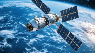
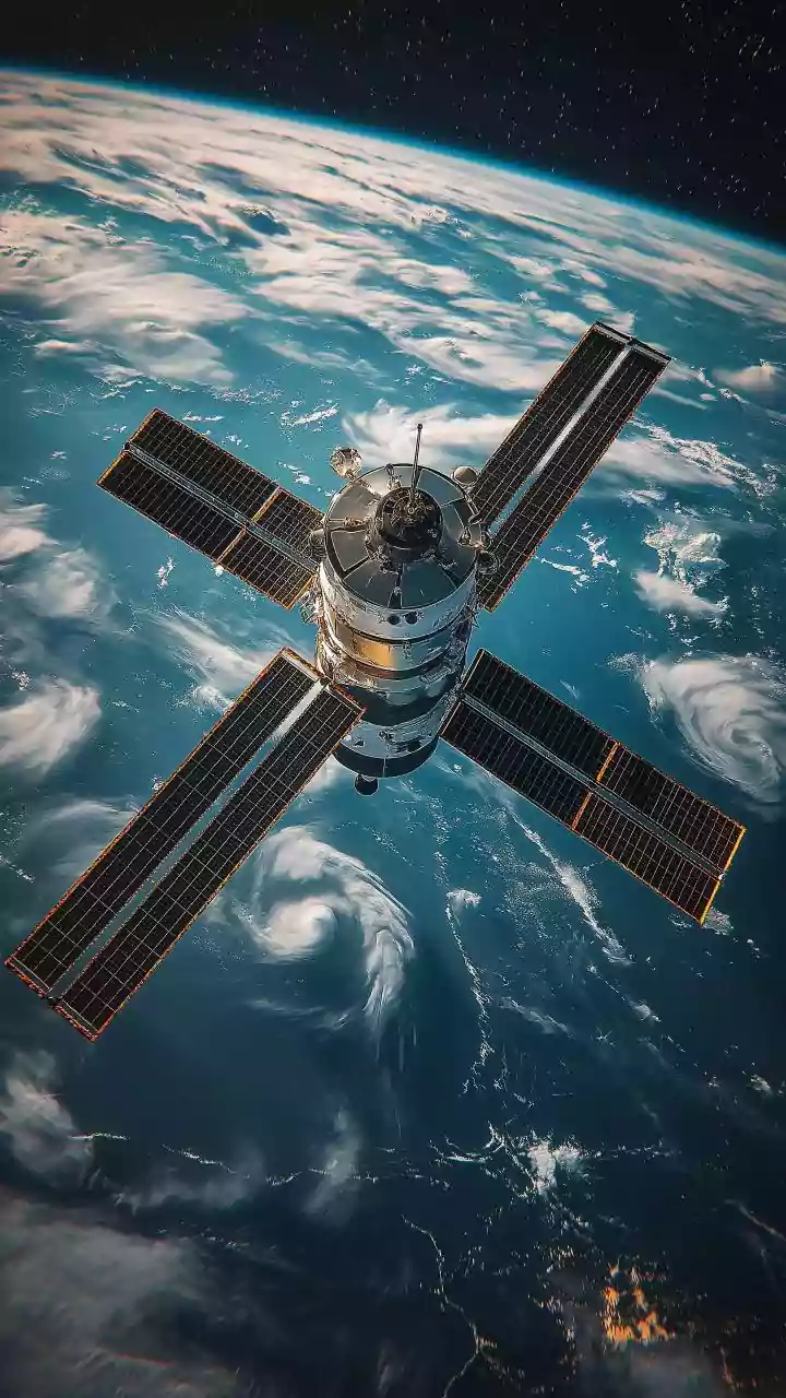
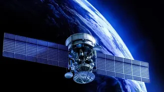
As magma accumulates beneath a volcano, it causes the ground surface above it to swell, much like a balloon being inflated. While this movement might only be a few centimetres, it is a critical indicator of building pressure. Scientists track this deformation with incredible precision using two key satellite technologies. The Global Positioning System (GPS) uses ground-based stations to measure minute shifts in their positions. The other, more comprehensive method is Interferometric Synthetic Aperture Radar, or InSAR. InSAR satellites bounce radar signals off the Earth and compare images taken at different times to create detailed maps of ground movement, effectively allowing scientists to see the volcano 'breathe' and pinpoint where pressure is building up.
Sniffing the Air for Clues
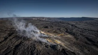
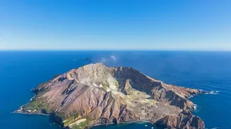
Volcanoes release a cocktail of gases, and changes in this mixture can signal an impending eruption. As magma rises, gases like sulphur dioxide (SO2) and carbon dioxide (CO2) escape. An increase in the SO2-to-CO2 ratio, for example, is a strong indicator that fresh magma is nearing the surface. Getting close enough to sample these gases is often impossible, so scientists use remote sensing. Instruments called spectrometers can analyse the light passing through a volcanic plume to identify the chemical composition of the gases from a safe distance, whether from the ground, aircraft, or even satellites. This provides a chemical fingerprint of the activity brewing within.
Taking the Volcano's Temperature
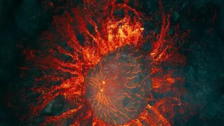
Another vital sign is heat. Scientists use thermal remote sensing from satellites to detect hotspots and monitor changes in surface temperature. These instruments can spot the emergence of new vents or the presence of a growing lava lake even in the most remote locations on Earth. By tracking these thermal anomalies, scientists can assess the level of activity and see where lava might be flowing without ever setting foot on the volcano itself. Combining frequent but lower-resolution images with less frequent but more detailed ones gives a comprehensive view of the volcano's thermal state.
The Rise of Drones
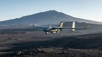
Unoccupied Aircraft Systems, or drones, are revolutionising volcanology. They bridge the critical gap between ground-based measurements and distant satellite observations. Drones can fly directly into hazardous plumes to sample gases, use thermal cameras to map lava flows in high definition, and create detailed 3D models of craters, all without risking human lives. This allows for the collection of incredibly detailed data from areas that were previously completely inaccessible, providing a much clearer picture of the immediate hazards and ongoing changes at a restless volcano.