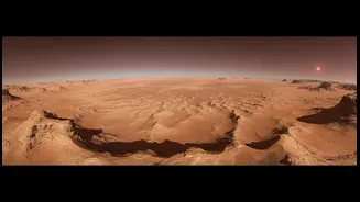






A Blueprint for an Ancient Coastline
The latest breakthrough in the search for Mars's lost ocean comes not from a single fossil, but from a comprehensive map. Recent studies, including one from researchers at the University of Bern, have used high-resolution orbital imagery to identify what
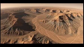
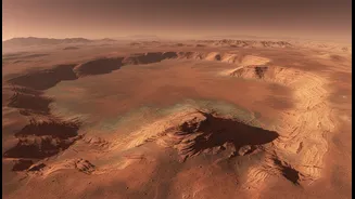
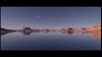
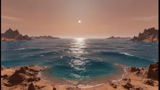
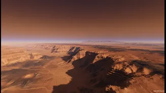
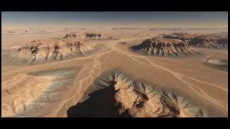
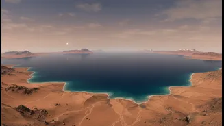
appear to be ancient river deltas. These structures, found near the vast Valles Marineris canyon system, strongly resemble the mouths of rivers emptying into a large body of water. What makes this finding particularly compelling is the consistency of the evidence. Scientists have identified dozens of these fan-shaped deltas, and they all appear to terminate at the exact same elevation. This consistent 'bathtub ring' around the planet’s northern hemisphere is the kind of geological fingerprint a stable, long-lasting ocean would leave behind.
The Ghost of an Ocean
The debate over a Martian ocean is not new. For years, scientists have pointed to evidence like dried-up river valleys, water-bearing minerals, and what looked like fragmented shorelines. However, this evidence was often ambiguous. Previous shoreline candidates were found at varying elevations, a confusing inconsistency since an ocean should have a constant sea level. This led some to argue that Mars’s water features might have been the result of massive, short-lived floods or groundwater activity rather than a persistent ocean. The challenge has always been to find a clear, planet-wide signature that couldn't be easily explained away by other geological processes. The goal was to move from scattered clues to a coherent global picture.
Connecting the Dots From Space
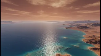
This new wave of research combines data from multiple missions, including the ExoMars Trace Gas Orbiter, Mars Express, and the Mars Reconnaissance Orbiter. By creating detailed topographic maps, scientists can see beyond the ambiguous shorelines and identify a much broader, more stable feature: a continental shelf. On Earth, a continental shelf is the submerged, relatively flat edge of a continent that marks the true transition to the deep ocean. Researchers ran simulations of Earth's oceans to see what features would survive if they dried up, and the continental shelf proved to be the most durable marker. Finding a similar, wide, flat band on Mars, at a consistent elevation that lines up with ancient river deltas, provides powerful, integrated evidence that an ocean comparable in size to Earth's Arctic Ocean once existed.
A Warmer, Wetter Past
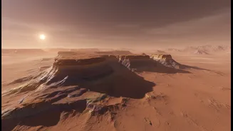
The existence of a stable, long-lived ocean has profound implications for what ancient Mars was like. It suggests a planet with a much thicker atmosphere and a global hydrological cycle, complete with rain, rivers, clouds, and runoff. It wasn't just a world with sporadic flashes of water, but a stable, Earth-like environment that persisted for millions of years. This is precisely the kind of world that could have been friendly to the emergence of life. While the Red Planet lost its atmosphere and the ocean vanished around three billion years ago, these newly mapped features are like ghostly blueprints, showing us where to look for preserved signs of that ancient, watery world. Ground-penetrating radar from rovers like China's Zhurong has already found subsurface evidence consistent with coastal sediments, adding another layer of proof to the orbital maps.