

Spotting the Ground Swell
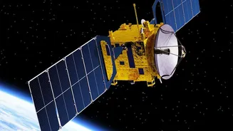
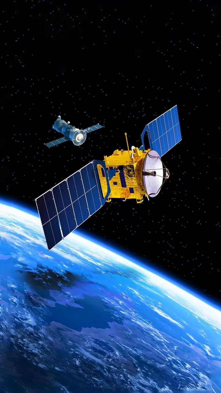
Long before an eruption, the ground around a volcano can bulge and stretch as magma moves beneath the surface. While these changes are often minuscule, satellites can detect them with incredible precision using a technique called Interferometric Synthetic
Aperture Radar (InSAR). By comparing two radar images of the same area taken at different times, scientists can create a detailed map of ground deformation, sometimes down to centimetre-scale accuracy. This works day or night and can see through clouds, making it invaluable for tracking unrest at volcanoes in harsh climates like Alaska or the Andes. Seeing the ground inflate is like watching a balloon expand; it's a clear signal that something is happening underground.
Taking a Volcano's Temperature
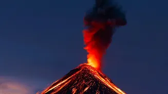
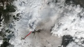
Another tell-tale sign of volcanic unrest is a rise in temperature. As magma gets closer to the surface, it heats the surrounding rock. Satellites equipped with thermal infrared sensors can detect these 'hot spots' long before an eruption. Systems like NASA's MODVOLC scan the entire globe every couple of days, automatically flagging thermal anomalies. This has been used to monitor remote volcanoes from the South Sandwich Islands near Antarctica to Nyiragongo in the Democratic Republic of Congo. Tracking these temperature changes helps scientists assess the level of activity and can be one of the first clues that a volcano is waking up.
Sniffing for Volcanic Gases
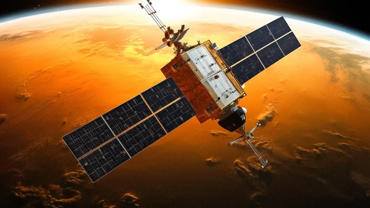
Volcanoes release gases like sulfur dioxide (SO2) as magma rises, and these emissions offer vital clues about what’s happening below. While SO2 is hard to spot from the ground, specialised satellite instruments can detect and measure it from space. Instruments on board satellites from NASA and the European Space Agency can track the concentration and movement of these gas plumes. An increase in SO2 emissions can signal that fresh magma is ascending. In some rare cases, satellites have even detected unusual emissions like methane, providing new avenues for research into volcanic processes. This remote gas-sniffing capability gives scientists a way to 'smell' a volcano's breath for signs of change.
A Global Safety Net
The information gathered by satellites isn't just for scientific curiosity; it has critical real-world applications. For the aviation industry, volcanic ash is a serious hazard that can cause engine failure. Satellites are essential for detecting and tracking ash plumes, allowing authorities to issue timely warnings and reroute flights to avoid danger. For the roughly 800 million people living within 100 km of an active volcano, this monitoring can be a lifesaver. By combining data on ground deformation, heat, and gas, scientists can build a more comprehensive picture of the threat and provide better forecasts, giving communities more time to prepare or evacuate.