



The Pacific's Ever-Shifting Mood
The vast Pacific Ocean isn't just a body of water; it's a massive engine driving global weather. Its most famous mood swing is the El Niño-Southern Oscillation, or ENSO. This is a natural cycle with three phases: El Niño (warmer-than-average ocean temperatures),
La Niña (cooler-than-average temperatures), and a neutral phase. These shifts, which occur every two to seven years, might seem distant, but they trigger a cascade of atmospheric changes that affect rainfall and temperature patterns worldwide. Right now, scientists are focused on an El Niño event that has been strengthening throughout 2026. Forecasts from multiple climate agencies, including the U.S. National Oceanic and Atmospheric Administration (NOAA), indicate a high probability that this will not just be a standard El Niño, but a 'super' El Niño, potentially becoming one of the strongest on record.
What is the Evolving Risk?
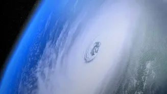
The primary risk comes from this intense warming of the Pacific. A 'super' El Niño pumps an enormous amount of heat and moisture into the atmosphere, disrupting typical air circulation patterns. For India, the most significant concern is its impact on the monsoon. El Niño conditions are often linked to a weaker monsoon, as the altered atmospheric pressure can suppress the systems that draw moisture-laden winds from the ocean onto the subcontinent. This can lead to reduced rainfall, which has massive implications for agriculture, water reservoirs, and the economy. Beyond the monsoon, a powerful El Niño can also change the characteristics of cyclones. While it may depress hurricane activity in the Atlantic, it can lead to more intense cyclones in the North-Western Pacific, a region whose weather systems can sometimes influence our own. The risk is one of disruption—less predictable rains, and the potential for more extreme weather events.
A Warming World Amplifies the Threat
This isn't just a typical El Niño. It's an El Niño occurring on a planet that is already significantly warmer due to climate change. Scientists stress that this combination is what makes the situation particularly concerning. The underlying warmth means that when a natural event like a strong El Niño occurs, its effects can be amplified. Think of it as turning up the volume on an already dramatic song. The baseline global temperatures are higher, so an El Niño can more easily push annual temperature averages into record-breaking territory. This combination doesn't just mean a poor monsoon; it could supercharge droughts in some areas and floods in others, disrupting ecosystems and economies that are already under stress. The evolving conditions in the Pacific are a clear signal that natural climate cycles are now interacting with human-induced changes in unpredictable ways.
Watching the Waves: What Comes Next
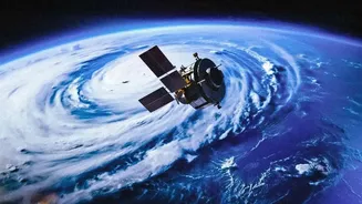
Forecasting the precise local impacts of an El Niño months in advance is complex, as no two events are exactly alike. However, scientific agencies are using a vast array of tools, from satellite data to ocean buoys and complex climate models, to monitor the situation in real-time. According to the latest models from July 2026, the El Niño event is expected to continue intensifying through the end of the year, peaking in the winter. For India, this means that authorities and industries, particularly agriculture, are on high alert. Fishery sectors are also bracing for impact, as changing water temperatures can drastically alter fish migration and population patterns. The warnings from scientists are not meant to cause panic, but to provide crucial lead time for preparation. The evolving situation underscores the importance of robust climate monitoring and adaptation strategies in an increasingly volatile world.