


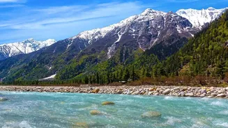
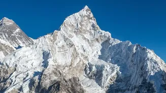

A Wall of Water, Not a Rising Tide
Imagine a river not just swelling, but rising by several meters in a matter of minutes. This is the reality of a flash flood in Nepal. Unlike the slow, predictable rise of riverine floods common in flat plains, Himalayan floods are violent, sudden events.
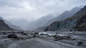
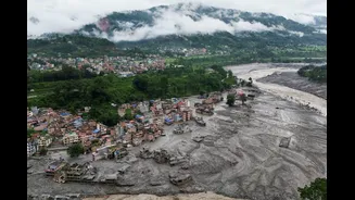
They arrive as a churning wall of water, mud, boulders, and debris, often with a terrifying roar. For communities nestled in the valleys, there is often no time to evacuate. The same terrain that offers fertile soil and picturesque views becomes a funnel for destruction, channeling water with immense force and speed, wiping out homes, bridges, and hydroelectric plants in the blink of an eye.
The Anatomy of a Mountain Flood
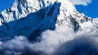
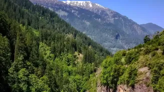
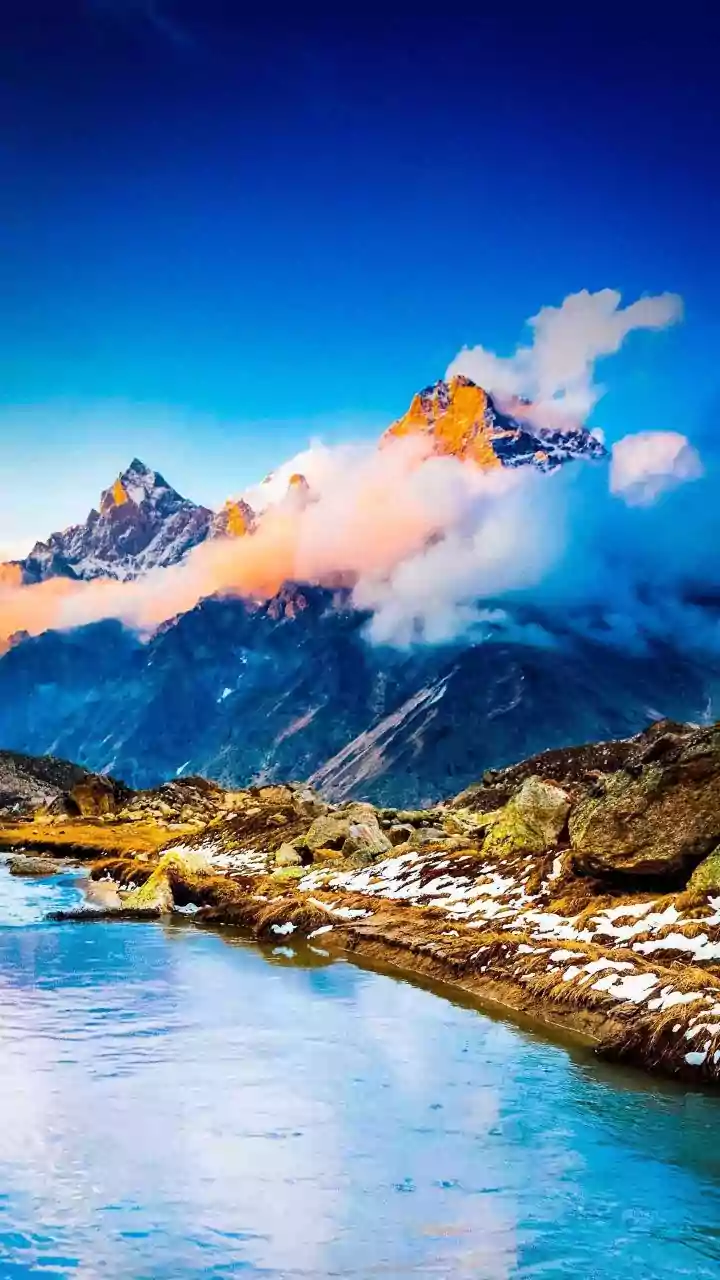
Several factors unique to Nepal's geography contribute to this danger. First are the steep slopes themselves. When heavy rain falls, the sharp inclines give the water little time to be absorbed into the ground, causing it to run off almost instantly. Second is the geology. The Himalayas are young, active mountains, meaning their slopes are often unstable and prone to landslides which can dam rivers. When these temporary dams fail, they release a catastrophic amount of water. Finally, and most critically in an era of climate change, are Glacial Lake Outburst Floods (GLOFs). As global temperatures rise, glaciers are melting at an accelerated rate, forming vast lakes dammed by unstable moraine—ridges of rock and debris. When these natural dams are breached by an earthquake, avalanche, or simply the mounting pressure of the water, they unleash a devastating flood downstream.
The Prediction Problem
Forecasting these events is a monumental challenge. Traditional flood prediction relies on extensive networks of ground-based rain and river gauges, which are sparse in Nepal's remote and difficult-to-access mountain terrain. Satellite rainfall estimates can help but often struggle with accuracy in the complex topography of the Himalayas. The sheer speed of these floods is the biggest hurdle. A GLOF or a cloudburst-triggered flash flood can develop and strike a village in hours, or even minutes, leaving almost no window for a conventional warning to be issued and acted upon. Often, the first sign of danger is the flood itself. This is why even small glacial lakes, which may form and disappear rapidly, now pose a significant, unforeseen threat.
A Mounting Human and Economic Cost
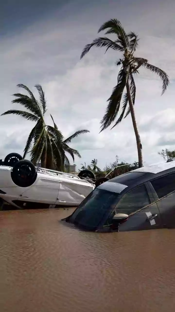
The impact of these floods is measured in lost lives, shattered communities, and crippled infrastructure. Entire villages have been wiped off the map by a single event. Beyond the immediate human tragedy, the economic consequences are severe. Floods destroy farmland and kill livestock, creating food insecurity. They also demolish critical infrastructure like roads, bridges, and a key engine of Nepal's economy: hydropower plants. As development pushes further into mountain valleys and climate change makes extreme weather more frequent, the vulnerability of the population and the economy to these events only grows. The same rivers being harnessed for energy are also the conduits for these catastrophic floods, creating a complex development dilemma.
Racing Against the Inevitable
While stopping these floods is impossible, efforts are underway to mitigate their impact. Researchers are working to better identify and monitor potentially dangerous glacial lakes. Projects have been undertaken to carefully drain some of the highest-risk lakes, such as Tsho Rolpa, to reduce the pressure on their fragile dams. In other areas, community-based early warning systems are being established, using simple upstream sensors and communication networks to give downstream villages a precious few minutes of advance notice. However, these efforts are piecemeal and face enormous technical and financial challenges. The lack of cross-border data sharing in a region where rivers flow through multiple countries further complicates prediction and response.