





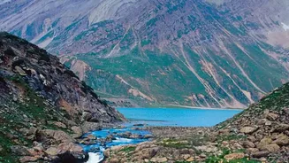
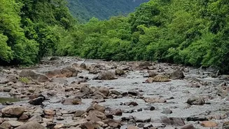

A Land Shaped by Water
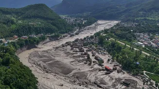
Every year, the monsoon season brings life-giving rains to Nepal, but it also brings the threat of disaster. The country's steep, fragile mountains and hundreds of rivers create a perfect recipe for flash floods, where water levels can rise with terrifying
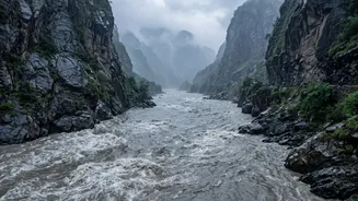
speed. These are not just slow-moving riverine floods; they can be sudden, violent torrents of water, mud, and debris caused by intense rainfall, landslides, or glacial lake outbursts (GLOFs). With climate change making rainfall patterns more erratic and intense, this threat is growing, putting thousands of communities living in river basins at risk. The challenge is immense: how do you warn people in remote villages when a disaster is only minutes away?
From Watchtowers to WhatsApp
Nepal's approach to flood warnings has evolved dramatically. It began with community-based methods, such as volunteers in bamboo watchtowers (machans) manually observing river levels and shouting warnings downstream. While resilient, these methods offered a very short lead time. Today, the system is a sophisticated blend of old and new. Nepal's Department of Hydrology and Meteorology (DHM), with help from partners like the UNDP and various NGOs, has established a network of automated weather stations, river-level sensors, and rainfall monitors. This technology provides real-time data that feeds into advanced forecasting models. The warnings are then disseminated through every channel available: mass SMS alerts, social media posts, and broadcasts over the country's 500-plus local FM radio stations.
The Human Element is Key
Technology alone is not enough. The success of these systems hinges on community involvement. When an official alert is triggered, a network of local volunteers and Community Disaster Management Committees springs into action. These groups, which often have strong participation from women, are trained to understand the warnings and ensure they reach everyone, including the most vulnerable. An upstream community member receiving an alert about rising water will call or message someone in a village downstream, creating a human chain of communication that complements the automated systems. This people-centered approach, as recognized by frameworks like the Sendai Framework for Disaster Risk Reduction, ensures that the warnings are not just sent, but are received, understood, and acted upon.
Proof of Success
The results are tangible and life-saving. In the West Rapti River basin, these systems have been credited with a dramatic drop in flood-related fatalities. One report noted that the number of deaths from flooding nationwide fell from 166 in 2017 to just 27 in 2022, despite floods of a higher magnitude. Stories from the ground confirm this. In Kailali district, villagers received SMS alerts three hours before a major flood, giving them enough time to evacuate themselves, their livestock, and essential documents. In another instance in 2024, a cutting-edge warning system on the Mahakali River enabled timely evacuations before a massive cloudburst, and no lives were lost.
Lingering Gaps and Future Challenges
Despite these successes, significant challenges remain. The systems are most effective for large, predictable rivers, but less so for the small, highly unpredictable streams in the hills where flash floods can occur with little notice. A devastating flood in Rasuwa in August 2026 highlighted a critical weakness: trans-boundary data sharing. The flood originated in China's Tibetan region, but the warning only came after the water had already crossed the border, leaving little time to react. Furthermore, ensuring the systems are properly maintained, funded, and reliable across all regions is a constant struggle. Experts also point out that getting a warning to someone is only half the battle; communities must have the resources and knowledge to respond effectively, which isn't always the case.