
An Eye in the Sky Purpose-Built for Fire
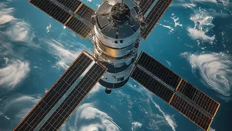
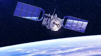
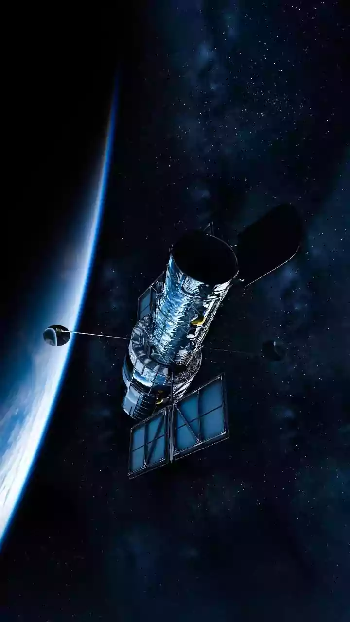
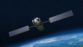
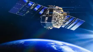
FireSat is not just another satellite; it's a dedicated constellation designed specifically to detect and monitor wildfires. This initiative is the work of a global coalition, including the nonprofit Earth Fire Alliance, satellite manufacturer Muon Space,
and Google, which contributes AI expertise. The project launched its first prototype in March 2025 and followed up with the first three operational satellites in July 2026. Unlike existing weather or multi-purpose satellites that may spot large fires, FireSat is engineered with one mission in mind: to find fires when they are still small enough to control. The goal is to build a network of over 50 satellites that can scan the entire planet for new ignitions.
How It Senses a Spark from Orbit
The core of FireSat's capability lies in its advanced infrared sensors. These instruments are tuned to detect heat signatures characteristic of a fire. Operating across multiple infrared wavelengths, the satellites can sense the heat from a blaze through smoke and even at night, something visible-light cameras cannot do. The system is sensitive enough to spot a fire as small as 5-by-5 metres. But detection is only half the battle. To avoid false alarms from other heat sources like solar panels, the system uses artificial intelligence. The AI compares new thermal images to a backlog of previous images of the same location and considers weather data before flagging a potential fire.
The Critical Advantage: Speed
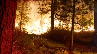
The main problem with many current satellite systems is the delay. Existing satellites might pass over the same spot only a few times a day, and the data can take hours to process and reach emergency responders. During that lag time, a small, manageable fire can explode into a major disaster. FireSat aims to slash this timeline dramatically. Once the full constellation is operational, it will be able to revisit every point on Earth roughly every 20 minutes. This frequent coverage means a new fire has a much smaller window to grow before it is detected from space. The goal is to get actionable alerts to fire agencies in near real-time, giving them a crucial head start.
From Satellite Data to a Firefighter's Alert
Once a FireSat satellite detects a potential fire and the AI verifies it, the information is transmitted to a ground station. From there, it is processed and relayed to emergency management platforms and fire agencies. This data stream provides more than just a location; it can offer insights into the fire's intensity and perimeter, helping commanders on the ground make safer and more effective decisions about where to deploy resources. This system doesn't replace the need for ground-based lookout towers or public reporting, but complements them, creating a more comprehensive and rapid detection network. The first operational data is expected to reach early adopter fire agencies in late 2026.
The Road Ahead for Global Coverage
While the technology holds immense promise, FireSat is still in its early stages. The launch in July 2026 marked the beginning of its initial operational capability, not the completion of the full network. Building out a constellation of more than 50 satellites will take years. Physical limitations like very thick cloud cover can still sometimes block infrared sensors, though they are far more capable of seeing through smoke than standard cameras. For countries like India, which faces significant wildfire challenges in states like Uttarakhand and Odisha, this technology could one day be a game-changer. By providing early warnings in remote, forested areas, FireSat could help authorities manage and contain fires before they threaten lives and ecosystems.