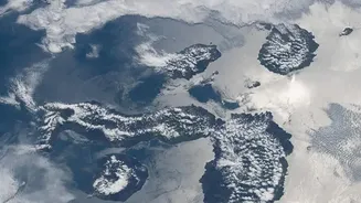

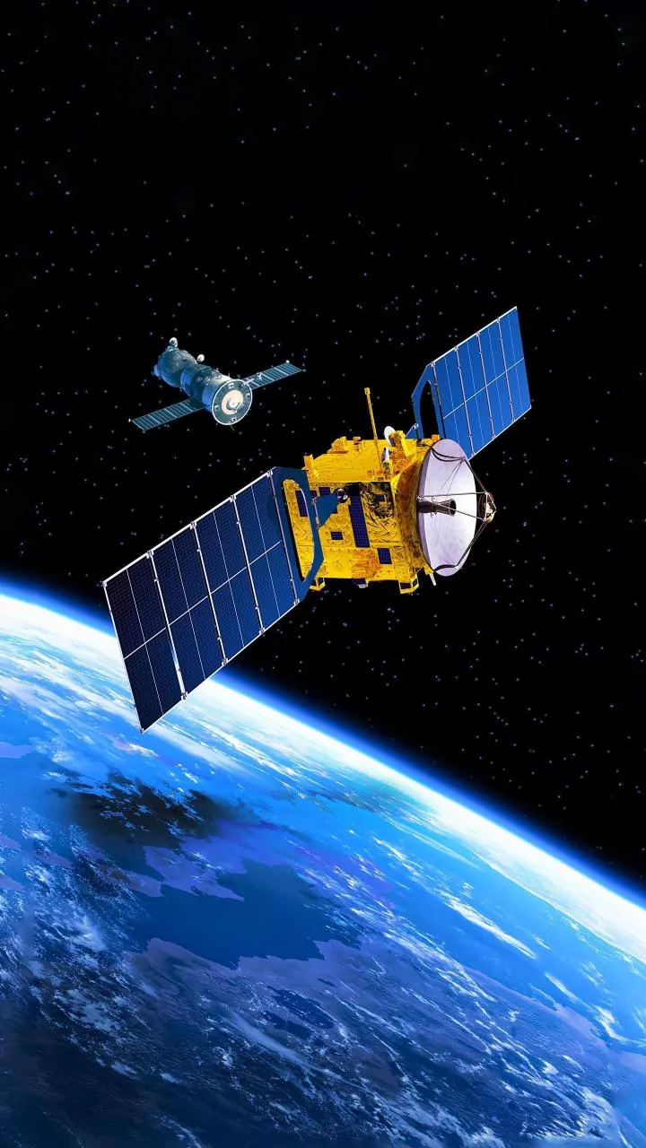
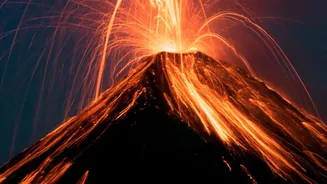


Satellite images of volcanoes are captivating, often showing our planet's raw power in vibrant, abstract colours. But as they fill our social media feeds, it can be hard to tell what we're seeing. Is it art, science, or a sign of impending danger?
More Than Just a Pretty Picture
Before
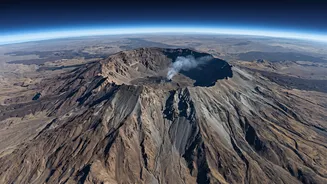
a satellite image of a volcano goes viral, it starts as a stream of data. Scientists use this data to keep a watchful eye on the roughly 1,350 potentially active volcanoes on Earth. These images aren't just for spotting spectacular eruptions; they are crucial tools for monitoring subtle changes that might signal future activity. The main things volcanologists look for from space are changes in ground shape, gas emissions, surface temperatures, and ash plumes. By tracking these indicators over time, they can build a picture of a volcano's behaviour and, in some cases, get clues about an impending eruption days or even weeks in advance. It’s a constant, global health check-up for our planet's most dynamic features.
Decoding the Colours: Heat, Gas, and Ash
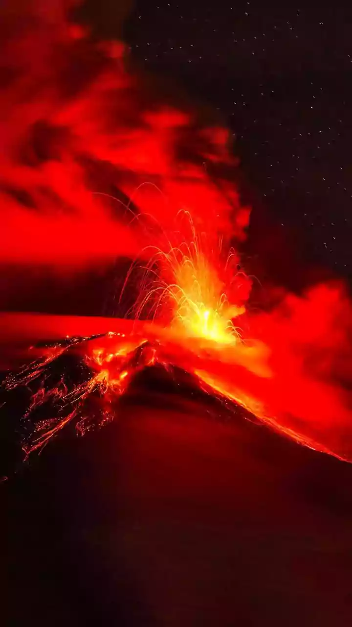
Many of the most striking images are 'false-colour', where satellites measure light beyond the visible spectrum, like infrared, to reveal specific phenomena. Thermal anomalies, or hotspots, show up in these images, indicating areas of significant heat. While a glowing red spot could mean new lava, it could also be a persistent lava lake at a volcano like Nyiragongo. Similarly, satellites can detect volcanic gases. A colourful plume isn't just steam; specific processing can make a cloud of sulphur dioxide (SO2) appear green or yellow. This gas is a key ingredient in volcanic smog and its detection can signal that magma is near the surface. Distinguishing ash from regular weather clouds is also critical, especially for aviation. Specialized imagery often shows ash clouds in distinct shades like magenta or pink, helping to track this hazard.
The Ground is Moving: Invisible Clues
Some of the most important changes at a volcano are completely invisible to the naked eye. As magma moves and collects beneath the surface, it can cause the ground to swell, sink, or stretch. Scientists use a technique called Interferometric Synthetic Aperture Radar (InSAR) to detect these tiny movements. By comparing two radar images of the same area taken at different times, they can create a map of ground deformation, often displayed as a rainbow-coloured bullseye. Each full cycle of colours, or 'fringe', can represent just a few centimetres of movement. This method is incredibly powerful because it can cover a huge area without needing any equipment on the ground, making it ideal for monitoring remote volcanoes and spotting signs of unrest long before an eruption.
‘Activity’ vs. ‘Alert’: A Critical Distinction
This is the most important takeaway for any casual observer. A satellite image showing a thermal anomaly or a gas plume depicts volcanic 'activity', but it does not automatically mean there is a crisis. Many volcanoes are in a constant state of low-level activity. An 'alert', on the other hand, is a formal notification issued by an official volcano observatory, such as the U.S. Geological Survey (USGS) or other national agencies. These alerts are based on a careful analysis of all available data—satellite, seismic activity, ground deformation sensors, and direct observation. Scientists issue a Volcano Activity Notice (VAN) or a Volcano Observatory Notice for Aviation (VONA) when there is a significant change in activity. A single image rarely tells the whole story, and it is the job of these expert agencies to put all the pieces together.
Your Go-To Sources for Facts, Not Fear
In an era of fast-spreading misinformation, knowing where to find reliable information is key. Sensationalist social media accounts may post satellite images without context, causing unnecessary alarm. To get the real story, always turn to the experts. For volcanoes in the United States, the primary source is the USGS Volcano Hazards Program, which provides status updates for all monitored volcanoes. You can even sign up for their Volcano Notification Service to receive email updates. For a global perspective, the Smithsonian Institution's Global Volcanism Program is an excellent resource. These official sources provide clear, evidence-based information, distinguishing between normal activity and genuine hazards. By relying on them, you can appreciate the science of volcanology without falling for the hype.