




How the Danger Formed
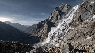
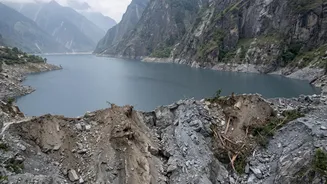
The crisis began in late August 2026, when a massive landslide, triggered by a glacial collapse, tore through the mountains near the Nepal-Tibet border. A torrent of rock, ice, and mud cascaded into a Himalayan river valley, causing an initial flash flood
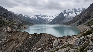
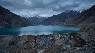
that swept away buildings, bridges, and roads. The debris from this event did not just pass through; it accumulated in a narrow river channel, forming a huge natural barrier. Behind this blockage, the river’s flow was halted, causing water to rapidly back up and form a large and deep lake, estimated to hold millions of cubic metres of water. Authorities in Nepal quickly issued alerts, noting that the impromptu dam was rising and at high risk of bursting.
The Science of a Landslide Dam Failure
This type of natural barrier is known as a landslide dam, and its danger lies in its inherent instability. Unlike engineered dams made of reinforced concrete, landslide dams are composed of a loose, unconsolidated mix of soil, rock, and other debris. They lack a controlled spillway to safely release pressure. As the lake behind the dam fills, the immense weight of the water exerts growing pressure on the fragile barrier. The dam can fail in several ways: water can overtop the crest and rapidly erode it, or it can seep through the loose material, weakening it from within until it collapses. When a breach occurs, the failure is often catastrophic, unleashing the entire volume of the lake in a sudden, powerful torrent known as a Landslide Dam Outburst Flood (LDOF).
The Path to India
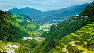
For India, the threat is not distant. The floodwaters originated in tributaries of the Trishuli and Bhote Koshi rivers in Nepal. These rivers flow south and merge to form the Narayani river, which is known as the Gandak when it crosses into India. The Gandak flows through the densely populated plains of eastern Uttar Pradesh and northern Bihar, eventually joining the Ganga. A sudden breach of the landslide dam would send a massive flood wave down this exact path. While the wave's intensity would decrease as it travels, the sheer volume of water could overwhelm riverbanks, inundate vast areas, and threaten lives and property hundreds of kilometres from the original landslide site. Much of the Gandak's catchment area lies in Nepal, making downstream Indian states highly vulnerable to events in the Himalayas.
A Race Against the River
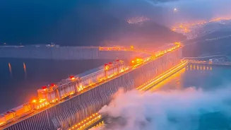
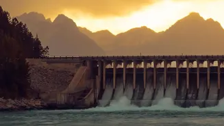
In response to the imminent danger, authorities in both Nepal and India have been on high alert. Nepal's disaster management authority has been monitoring the lake's level using satellite imagery and issuing warnings to downstream communities. On the Indian side, the Central Water Commission issued an advisory to Bihar and Uttar Pradesh, prompting a mobilisation of disaster response teams. The National Disaster Response Force (NDRF) deployed teams to vulnerable districts like West Champaran and Muzaffarpur as a precautionary measure. In a critical move to manage the potential surge, engineers in Bihar opened all 36 gates of the Gandak Barrage at Valmikinagar to allow for a greater discharge of water and create capacity in the river system. The focus is on round-the-clock monitoring and ensuring early warning systems reach every village at risk.