

A Storm Born from Fire
When a wildfire grows to a monstrous size, its intense heat can fundamentally alter the atmosphere above it, creating its own weather system. This is what happened in southwestern France, where a massive blaze raging near Bordeaux became so powerful that
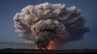
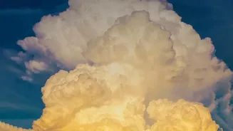
it generated a pyrocumulonimbus cloud—a fire-driven thunderstorm. Often dubbed a 'fire cloud' or the 'fire-breathing dragon of clouds,' this phenomenon is a sign that a fire has reached a new level of intensity and unpredictability. While known in wildfire hotspots like Australia and California, the appearance of a fully formed pyrocumulonimbus was a frightening first for France, signaling that the nation is facing new and extreme fire behaviour.
How a Fire Forges Weather
The formation of a pyrocumulonimbus cloud begins with the colossal energy released by a megafire. The blaze acts like a giant chimney, creating a powerful updraft that funnels superheated air, smoke, ash, and water vapour high into the sky. As this plume rises into the colder, lower-pressure layers of the atmosphere, the moisture condenses onto the microscopic ash particles, forming a cloud. If the fire is strong enough and atmospheric conditions are unstable, this cloud continues to grow vertically, towering miles into the sky to become a full-fledged thunderstorm. These clouds can be so powerful that they punch through into the stratosphere, a layer of the atmosphere typically reserved for commercial jets and volcanic ash plumes.
A Vicious and Unpredictable Cycle
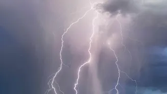
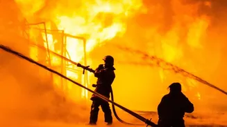
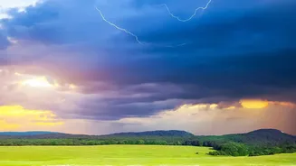
A pyrocumulonimbus isn't just a passive byproduct of a fire; it actively makes the situation on the ground far more dangerous. The cloud creates its own violent and erratic winds, with downdrafts that can hit the ground and spread the flames in completely new and unpredictable directions, endangering firefighters. Even more alarmingly, these fire-made thunderstorms can generate their own lightning. These lightning strikes can occur far from the original fire front, igniting new blazes in unburnt territory and rapidly escalating the disaster. The fire in France was no longer just being influenced by the weather—it was creating its own, trapping emergency responders in a perilous feedback loop.
A New Reality for a Warming Europe
According to fire experts, the emergence of a pyrocumulonimbus in France is a clear fingerprint of climate change. Increasingly frequent and intense heatwaves are drying out landscapes, creating tinderbox conditions that allow wildfires to grow larger and hotter than ever before. These are the exact conditions required to spawn a firestorm cloud. The recent fires in the Gironde region, which prompted one of the largest peacetime evacuations in French history, demonstrated this new reality. As Europe continues to be the world's fastest-warming continent, officials fear that such extreme fire behaviour could become more common, forcing a radical rethink of firefighting strategy and public safety measures across the region.
More Than Just a Local Threat
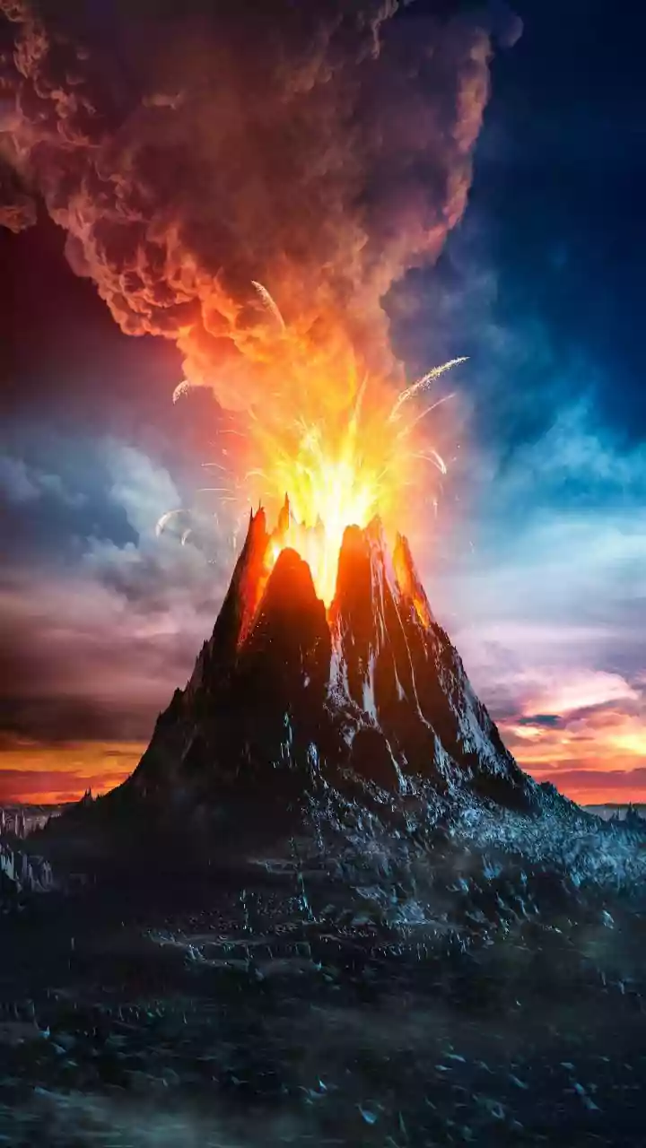
The impact of a pyrocumulonimbus extends far beyond the immediate fire zone. Scientists have confirmed that these events are powerful enough to inject huge quantities of smoke, ash, and other aerosols directly into the stratosphere. Once there, the plume can persist for months, spreading across the hemisphere like the aftermath of a major volcanic eruption. This has significant, and still not fully understood, implications for the climate system, potentially affecting atmospheric composition and the Earth's radiative balance. The smoke from one major pyroCb event in Canada was tracked circling the Northern Hemisphere, demonstrating the global reach of these increasingly frequent mega-fires.