




The Challenge: No Google Maps on the Moon
For decades, navigating in space has relied on a constant conversation with Earth. Ground stations track a spacecraft's signal to determine its location and send back instructions. This works, but it's slow and cumbersome. For ambitious future missions,
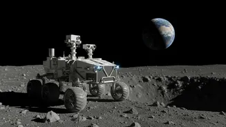
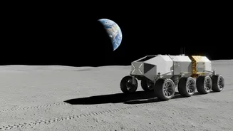
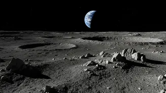
like setting up a base at the lunar South Pole or exploring the far side of the Moon, this reliance on Earth is a major bottleneck. Areas like the South Pole have difficult or non-existent direct lines of communication with our planet. To truly explore and build a sustained presence on the Moon, astronauts and robotic rovers need a way to know where they are and where they're going on their own, in real time.
NASA's Solution: The NavCube3-mini
Enter NASA's new navigation payload, a compact device called NavCube3-mini. Developed at NASA's Goddard Space Flight Center, this piece of technology is designed to act like a deep-space GPS receiver. It's remarkably small—about half the size of a shoebox, weighing only 3.5 pounds (about 1.6 kilograms)—and it's powerful. Its main job is to pick up signals from Global Navigation Satellite Systems (GNSS) that orbit the Earth, like the United States' GPS and Europe's Galileo system. The incredible part is that it's sensitive enough to use these signals at lunar distances, something they were never originally designed for.
How It Works: Using Earth's Signals from Afar
GNSS satellites primarily broadcast their signals down towards Earth. However, a lot of that signal spills over into space. NASA engineers have developed receivers with highly sensitive antennas and sophisticated software that can detect these faint, 'spillover' signals far from Earth. The NavCube3-mini can lock onto these signals and, by triangulating its position from multiple satellites, calculate its own location, velocity, and time without needing to 'phone home' to Earth. This provides immediate, high-quality autonomous navigation for any spacecraft or rover equipped with it. It’s a crucial 'bridge technology' that enables safer landings and more complex surface operations in challenging lunar environments until a dedicated Moon-based navigation network can be established.
Putting It to the Test
This technology isn't just theoretical. On July 13, NASA delivered the NavCube3-mini payload to the commercial space company Intuitive Machines. It will be integrated into the company's Altus-1 lunar relay satellite, which is scheduled to launch in late 2026. This mission will be a key technology demonstration, proving that using Earth's GNSS signals for navigation in the lunar region is feasible and effective. Altus-1 is the first of a planned network of satellites that will provide both communication and navigation services around the Moon, supporting future landers, rovers, and astronauts under the Artemis program.
The Future of Lunar Exploration
The ability to navigate autonomously is a game-changer for lunar exploration. It enhances mission safety and resilience, as it reduces the dependence on a constant link to Earth, which can be disrupted. It will allow rovers to travel further and explore more complex terrain, like the permanently shadowed craters of the lunar South Pole, which are of high scientific interest. Astronauts will be able to determine their position independently during extra-vehicular activities (EVAs). This technology, and the commercial relay network it enables, is a foundational step in building the infrastructure needed for a long-term, sustainable human presence on the Moon. It paves the way for a future where the Moon is a bustling ecosystem of orbiters, landers, and rovers operating with unprecedented efficiency and autonomy.