



The Challenge of Lunar Navigation
Navigating in space has always been a complex dance between a spacecraft and mission control on Earth. For lunar missions, this has meant a heavy dependence on NASA's Deep Space Network (DSN), a global system of antennas that tracks and communicates with
spacecraft. This system works well but has a fundamental limitation: it requires a direct line of sight. This makes exploring the far side of the Moon, or deep craters near the poles, incredibly difficult. A rover losing contact with Earth is effectively blind and lost. Furthermore, the DSN is a heavily used resource, supporting numerous missions across the solar system. Relying on it for every navigational calculation on the Moon creates a bottleneck, slowing down operations and limiting the scope of what can be achieved.
A 'Lighthouse' for the Moon
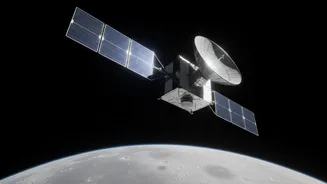
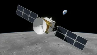
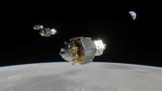
Enter the Lunar Navigation Payload, a key piece of technology designed to solve this problem. One of the first demonstrations of this capability is the Lunar Node-1 (LN-1) experiment. Think of it less like the complex satellite network of Earth's GPS and more like a series of lighthouses on the lunar surface. LN-1 is a compact, S-band radio beacon designed and built at NASA's Marshall Space Flight Center. It was sent to the Moon as part of the Commercial Lunar Payload Services (CLPS) initiative, hitching a ride on a commercial lander. The goal is to create a network of these beacons, placed on various landers and future lunar infrastructure, that can provide positioning signals directly to assets on or around the Moon.
How It Creates a Lunar GPS
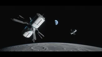
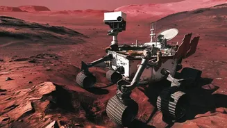
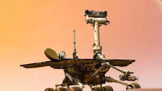
The system works by enabling spacecraft, rovers, and even astronauts to determine their position autonomously. Instead of sending a signal to Earth, waiting for a calculation, and receiving instructions back, a rover can use the signals from these lunar beacons to triangulate its position in real-time. The LN-1 payload, for instance, demonstrates technologies that support this local navigation. A future network could provide continuous, reliable positioning, navigation, and timing (PNT) services, much like GPS does for us on Earth. This technology is part of a broader NASA architecture called LunaNet, which aims to provide a full suite of communication and navigation services for the Moon, making lunar operations more efficient and independent.
Unlocking Autonomous Exploration
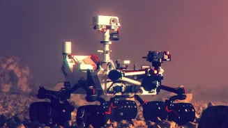
The ability to navigate without Earth is a game-changer. It grants true autonomy to lunar missions. Rovers will be able to travel into permanently shadowed craters at the lunar south pole, believed to hold water ice, without fear of losing contact. They can explore the rugged and scientifically fascinating far side of the Moon, an area largely untouched because of communication blackouts. This autonomy also increases safety and efficiency. During critical moments like landing or complex orbital manoeuvres, having immediate, local navigation data is crucial. It allows for quicker decisions and reduces the risk associated with communication delays between the Moon and Earth.
Paving the Way for a Lunar Economy
This technology is a foundational step for the future of the Artemis program and the vision of a sustained human presence on the Moon. Establishing a reliable, independent navigation network is as critical as power and communication for building a lunar base. It will support not just scientific rovers but also commercial activities, from mining for resources like water ice to constructing habitats. By fostering these capabilities through the CLPS program, NASA is helping to build a commercial ecosystem around lunar exploration. Companies like Intuitive Machines and Firefly Aerospace are not just delivering payloads; they are becoming key partners in building the infrastructure that will underpin a future lunar economy.