






A New Mystery on the Ice
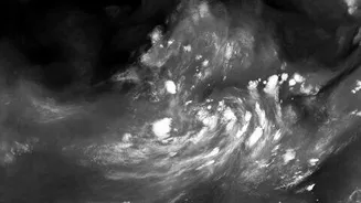
Deep in East Antarctica, a recent radar image has captured the imagination of scientists. It shows a rocky mountaintop, known as a nunatak, piercing through a massive ice stream. As the glacier flows around this stationary peak, the ice fractures into a complex
pattern of deep cracks, or crevasses. While this process is expected, the image produced by the advanced radar is so detailed and striking that it has revealed the structure in unprecedented clarity. The formation, nicknamed the 'hummingbird' by scientists for its serendipitous shape, provides a dramatic visualisation of the immense stresses acting within the glacier.
The Eye in the Sky: A Powerful Partnership
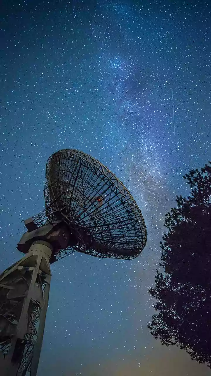
The discovery was made possible by the NASA-ISRO Synthetic Aperture Radar (NISAR) satellite, a landmark collaboration between the two space agencies. Launched in July 2025, NISAR is the first satellite to use two different radar frequencies, L-band and S-band, to observe Earth. This dual-frequency capability, with NASA providing the L-band instrument and ISRO providing the S-band radar and the spacecraft itself, allows the mission to see the planet in a new light. Unlike optical satellites, radar can peer through clouds and darkness, and its signals can penetrate snow and ice, revealing what is hidden beneath the surface. This allows for continuous monitoring of Earth's most remote and dynamic systems, including the polar ice sheets.
What Makes This View So Unusual?
While an optical satellite image of the same area shows an almost uniform white sheet, NISAR's radar data paints a far more complex picture. The colours in the image reveal different properties of the ice. Areas where the radar signal bounced off a smooth, regular surface appear magenta. In contrast, the sharp green lines highlight the crevasses, where the signal scattered off irregular surfaces or penetrated the ice differently. This ability to distinguish between different ice textures and see through the top layer of snow is what makes the NISAR data so revolutionary. It provides a detailed map of the glacier's internal structure and stress patterns, which are invisible to the naked eye. This gives scientists a new tool to understand how glaciers flow and fracture.
Unlocking Antarctic Secrets
This detailed view is about more than just a pretty picture. It provides critical data for glaciologists studying the stability of Antarctica's ice sheets. By mapping these fracture zones with high precision, scientists can better model how glaciers will respond to a warming climate. Some of the most significant changes in Antarctica are driven by processes hidden from view, such as the melting of ice from below by warmer ocean water or even geothermal heat from volcanic activity under the ice sheet. While the 'hummingbird' formation is caused by a mountain, the ability to see such detailed subsurface features will help scientists hunt for other, more worrying phenomena, like hidden meltwater channels or areas of rapid thinning in critical locations like the Thwaites 'Doomsday' Glacier.
Why It Matters for India
The fate of Antarctica's ice is not a distant problem; it has direct consequences for India. The complete collapse of the West Antarctic Ice Sheet, for instance, could raise global sea levels by over three metres. For a nation with a coastline stretching over 7,500 kilometres and numerous low-lying coastal cities, understanding the speed and scale of this threat is a national security and economic priority. ISRO's partnership in the NISAR mission places India at the forefront of this crucial climate research. The data gathered will not only improve global sea-level rise projections but also enhance our understanding of broader climate patterns that influence the monsoon. The mission is a testament to the power of international scientific collaboration in tackling the world's most pressing environmental challenges.