






What is NavIC and Why Does India Need It?
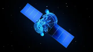
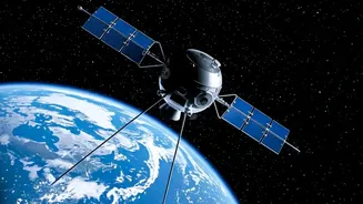
NavIC, which stands for Navigation with Indian Constellation, is India’s homegrown alternative to foreign-owned satellite navigation systems like the American GPS, Russia's GLONASS, or Europe's Galileo. Developed by the Indian Space Research Organisation
(ISRO), it was designed to provide reliable positioning, navigation, and timing services over India and a region extending 1,500 kilometres beyond its borders. The primary motivation behind creating NavIC was strategic autonomy. Relying on systems controlled by other nations poses a security risk; access could be denied or degraded during a conflict, a lesson India learned during the Kargil War. NavIC ensures that India's military and strategic assets have a secure, encrypted, and uninterrupted navigation service. For civilians, it promises accurate location data for everything from vehicle tracking and disaster management to precise timing for financial transactions and power grids.
A System Plagued by Failing Clocks
Despite its promise, the NavIC system has faced significant hurdles. The original constellation of satellites, known as IRNSS, began experiencing critical failures of their imported rubidium atomic clocks. These clocks are the heart of any navigation satellite, providing the ultra-precise time measurements needed to calculate an accurate position on the ground. Even a nanosecond's error can throw off a location by several metres. Over time, these clock failures crippled multiple satellites, reducing the number of fully operational ones to below the minimum of four required for standalone 3D positioning. This meant the NavIC system could no longer function independently and devices had to rely on a hybrid model, using signals from other systems like GPS to determine a location. Currently, with only three satellites fully available for positioning, NavIC's standalone service is inactive.
NVS-03: The Second-Generation Solution
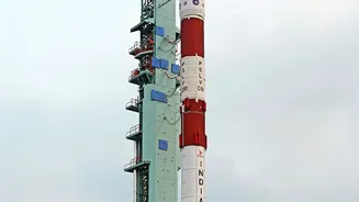
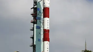
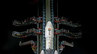
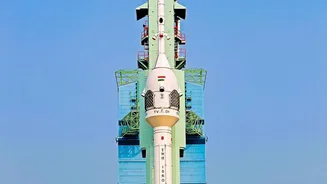
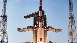
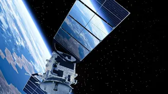
The upcoming NVS-03 mission is ISRO’s latest effort to fix these issues and restore the constellation. NVS-03 is part of a new, second generation of NavIC satellites designed for longer life and greater capability. Critically, it carries an indigenously developed rubidium atomic clock from the Space Applications Centre in Ahmedabad, which is expected to be more reliable than the imported ones that failed. Another major upgrade is the inclusion of a new L1 frequency band, in addition to the existing L5 and S bands. The L1 band is the most common frequency used by civilian GPS devices, including smartphones and smartwatches. Adding this signal makes it much easier for manufacturers to make their devices compatible with NavIC, potentially driving widespread adoption across India.
Restoring Standalone Service and National Pride
A successful launch and commissioning of NVS-03, scheduled between October 15 and 20, would bring the number of operational satellites back to the crucial threshold of four. This would reactivate NavIC's standalone positioning service, allowing users to determine their location using only Indian satellite signals. For the armed forces, this is a game-changer, enabling secure and independent navigation for missiles, warships, and troop movements without any foreign dependency. For civilians, it means a more robust and resilient navigation infrastructure. While modern smartphones can pull signals from multiple constellations, having a fully functional domestic system provides a vital backup and enhances accuracy, especially in remote or challenging terrain. It represents a significant step towards achieving the goal of true technological sovereignty in a critical sector.