


The New Space Race is About Data
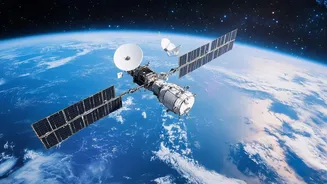
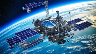
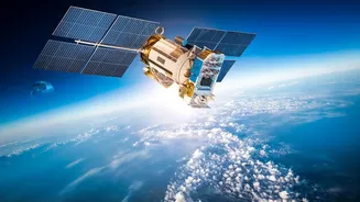
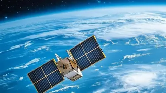
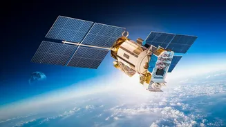
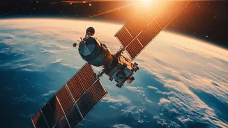
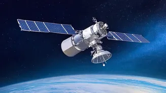
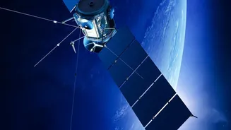
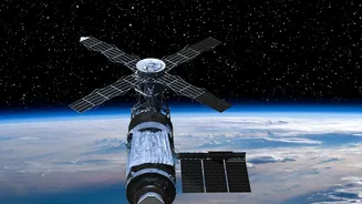
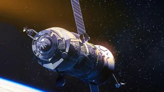
What was once the exclusive domain of government space agencies has become a bustling commercial frontier. Companies like Planet Labs, Maxar Technologies, and BlackSky have launched vast constellations of smaller, cheaper satellites that can image the entire
planet with astonishing frequency. Planet Labs, for example, operates one of the world's largest fleets, enabling daily monitoring of global changes. This isn't about planting flags; it's about capturing a torrent of geospatial data. The availability of high-resolution imagery, down to 30 centimetres in some cases, has transformed Earth Observation (EO) from a niche scientific tool into a core driver of business and government decisions. This constant stream of images, however, is just a flood of pixels without a way to interpret it at scale.
Artificial Intelligence as the Ultimate Interpreter
This is where Artificial Intelligence becomes the game-changer. AI is the engine that turns petabytes of raw satellite data into actionable intelligence. Machine learning algorithms can now automatically detect objects, identify patterns, and spot changes with a speed and scale no human team could ever match. For instance, AI can analyze imagery to track vessel movements for supply chain logistics, detect illegal construction for urban planning, or identify crop stress for farmers before the damage becomes visible to the naked eye. Some companies are even pioneering on-board AI, where satellites process data directly in orbit to provide near-instant alerts, such as for a brewing wildfire, creating a significant time advantage for emergency response.
An Unprecedented Force for Good
The positive applications of this technology are immense and are already making a significant impact. In the fight against climate change, AI-powered EO provides transparent, independent verification of emissions and deforestation, holding nations and corporations accountable. For disaster management, these systems are invaluable. They can map floodwaters in near real-time, assess wildfire damage, and help coordinate emergency responders on the ground. In agriculture, geospatial insights help optimise water usage and fertiliser application, boosting yields and promoting sustainability. By combining different data sources, like optical and radar imagery, analysts can see through clouds and darkness, making monitoring a 24/7 capability essential for tackling global challenges.
The Unregulated Frontier
However, this powerful new capability comes with a host of complex ethical and governance questions. The same technology that tracks illegal fishing can also monitor military movements, highlighting a dual-use nature that complicates regulation. Privacy is a major concern. With commercial satellites capable of resolutions that can identify an object the size of a mailbox, the line between public observation and intrusive surveillance is becoming increasingly blurred. Unlike a drone, you cannot hear a satellite passing overhead, and individuals often have no idea their movements or properties are being captured and analysed, raising questions about consent and data ownership. There is also the growing risk of misinterpretation or the intentional creation of 'deepfake' satellite imagery to spread disinformation.
The Search for Global Guardrails
Currently, the rapid pace of technological development is far outstripping the creation of laws to govern it. International bodies like the United Nations Office for Outer Space Affairs (UNOOSA) are actively working to establish guidelines for ethical and transparent AI use in space. Key questions remain unanswered: Who is liable when an AI model makes a faulty analysis that leads to a financial or humanitarian crisis? How can we ensure that access to this powerful data is equitable and doesn't just widen the gap between developed and developing nations? The challenge is to create a framework that fosters innovation without sacrificing privacy, security, and ethical responsibility. Finding this balance requires a global dialogue between governments, the private sector, and civil society to establish clear rules for this new era of planetary sight.