





For decades, the story of Himalayan floods seemed simple: a glacial lake bursts, and water rushes down. But recent studies paint a far more complex and dangerous picture, revealing that the true threat lies in a chain reaction of hazards.
Beyond a Single Cause
The traditional
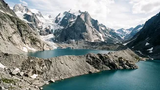
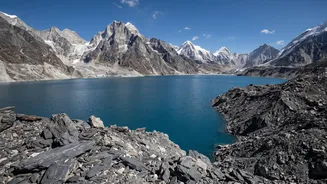
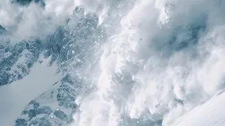
understanding of catastrophic floods in the Himalayas often centred on a single, dramatic event: the Glacial Lake Outburst Flood, or GLOF. In this scenario, a lake formed by melting glaciers breaches its natural dam of ice or rock, unleashing a torrent downstream. While GLOFs remain a significant threat, scientists now argue that this explanation is too simplistic. Events like the devastating 2021 Chamoli disaster in Uttarakhand, initially thought to be a GLOF, prompted a deeper look. Researchers found that the cause was far more intricate, involving a massive rock and ice avalanche that then triggered a flood, a process now understood as a 'cascading hazard'.
A Chain Reaction of Risk
The new focus is on this domino effect, where one event sets off another. A 'cascading hazard' begins not with a bursting lake, but often much higher up the mountain. It might start with a massive rockfall or an ice avalanche from a steep, hanging glacier. This initial collapse crashes into the valley below with immense force, instantly melting ice through friction and generating a large volume of water. This torrent then picks up loose sediment, boulders, and other debris, transforming into a fast-moving and incredibly destructive debris flow that can travel for tens of kilometres, growing in power as it descends. The disaster is no longer one event, but a rapid sequence of interconnected failures.
The Danger of Unstable Slopes
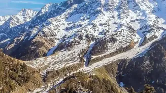
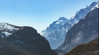
A critical factor in these cascades is the increasing instability of the mountain slopes themselves. Climate change is a key culprit. The Himalayas are warming at a rate faster than the global average, causing the region's 'cryosphere'—its frozen parts—to change rapidly. Permafrost, the frozen soil and rock that acts like a 'glue' holding steep slopes together, is thawing. As this glue weakens, slopes become more prone to failure. Furthermore, as glaciers retreat, they no longer provide physical support to the valley walls, leaving them exposed and unstable. This creates what some scientists call 'sediment bombs'—vast quantities of loose material ready to be mobilized by the next avalanche or extreme rainfall event.
What This Means for India
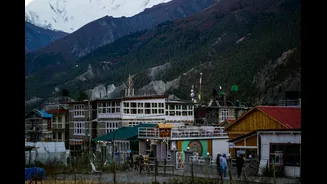
This shift in understanding has profound implications for India, particularly for Himalayan states like Uttarakhand, Himachal Pradesh, and Sikkim. Infrastructure projects, including major hydropower dams, are often built in the very river valleys susceptible to these cascading events. The 2021 Chamoli flood, for instance, destroyed two major hydropower facilities. Relying on hazard maps that only account for GLOFs provides a false sense of security. Disaster management agencies must now account for a wider range of starting points high in the mountains, many of which are incredibly difficult to monitor. The warning time for a rock-ice avalanche can be minutes, if any, compared to the hours or days that might be available for a monitored glacial lake.
A New Blueprint for Safety
Adapting to this more complex reality requires a new approach to risk assessment. It means moving beyond just monitoring lakes to using satellite imagery and seismic sensors to detect signs of slope instability and changes in high altitude glaciers. Early warning systems need to be designed for 'multi hazard' events, acknowledging that a landslide can instantly become a flood. For a region undergoing rapid development, this updated scientific understanding is not merely academic. It is a crucial blueprint for survival, demanding that we reassess where and how communities and critical infrastructure can safely exist in the world's highest and most dynamic mountain range.