


The Challenge of Remote Volcanoes
Hundreds of the world's active volcanoes are located in remote regions, far from any ground-based sensors or human observers. Monitoring these giants is crucial, as their eruptions can send towering ash plumes into jet aircraft routes, trigger tsunamis,
and impact global climate. Waiting for a pilot to spot an ash cloud is a reactive and dangerous game. This is where space-based observation becomes indispensable. Satellites provide a global, consistent, and safe way to keep watch, offering clues about a volcano's behaviour before, during, and after an eruption.
Watching for Heat Signatures
One of the first signs of volcanic unrest is a change in temperature. As magma rises closer to the surface, the ground above it heats up. Satellites equipped with thermal infrared sensors can detect these subtle temperature changes, known as thermal anomalies. Instruments like NASA's Moderate Resolution Imaging Spectroradiometer (MODIS) scan the entire planet frequently, and automated systems can flag these hotspots almost in real-time. This allows scientists to identify new activity, like the formation of a new lava flow or the heating of a volcanic vent, often as the first indication that a remote volcano is waking up.
Measuring the Swelling Ground
Imagine a balloon inflating under a rug. You can't see the balloon, but you can see the rug bulging. This is similar to how scientists monitor ground deformation at volcanoes. Before an eruption, magma flowing into a shallow reservoir can cause the ground surface to swell upwards by centimetres or even metres. To detect this, scientists use a powerful technique called Interferometric Synthetic Aperture Radar (InSAR). Radar satellites, such as those in the Sentinel-1 mission, bounce signals off the Earth's surface and record the echo. By comparing images taken at different times, they can create a map showing exactly how the ground has moved, with accuracy down to a few millimetres. This method works day or night and can see through clouds, making it exceptionally reliable for tracking the underground movement of magma.
Sniffing Volcanic Gases from Orbit
Volcanoes release various gases as magma rises, and a change in the amount or type of gas can signal an impending eruption. Sulphur dioxide (SO2) is a particularly important gas for scientists to track. Specialized satellite instruments can detect SO2 and other volcanic gases in the atmosphere. When a volcano begins to erupt, these satellites can measure the total mass of the SO2 cloud and track its movement across the globe. This information is not only vital for forecasting the eruption's progression but also for public health, as high concentrations of SO2 can be hazardous. The Ozone Mapping Profiler Suite (OMPS) on the Suomi NPP satellite is one such tool that provides detailed data on volcanic gas plumes.
Tracking Dangerous Ash Plumes
When a volcano erupts explosively, it can inject a massive cloud of volcanic ash and pulverised rock high into the atmosphere, often reaching commercial jet cruising altitudes. This ash is extremely dangerous for aircraft; it can sandblast cockpit windows and, more critically, melt inside hot jet engines, causing them to fail. Satellite imagery is the primary tool used by Volcanic Ash Advisory Centers (VAACs) worldwide to detect and track these plumes. By using different infrared channels, scientists can distinguish ash from regular weather clouds and provide essential guidance to air traffic controllers, allowing them to reroute flights and prevent potentially catastrophic encounters.
A Modern Success Story: NISAR
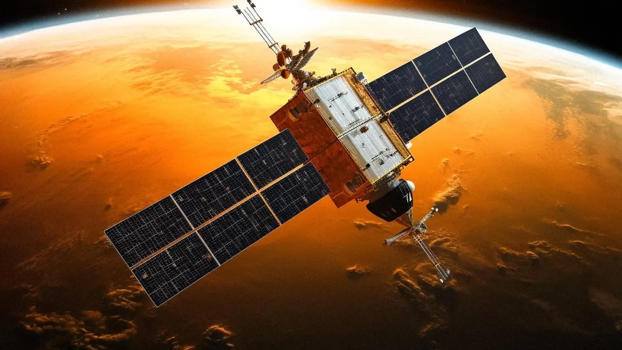
A prime example of this technology in action is the NASA-ISRO Synthetic Aperture Radar (NISAR) satellite, a joint mission between the US and Indian space agencies. Since its launch, it has monitored events like the eruption of the Krasheninnikov volcano in Russia, which had been dormant for nearly 500 years. Making passes every few days, NISAR's advanced radar capabilities have allowed scientists to create detailed timelapse videos of lava flows, providing unprecedented insights into how volcanic landscapes evolve. This kind of detailed, ongoing observation is critical for building better models to forecast future volcanic hazards.