







A Land of Extremes
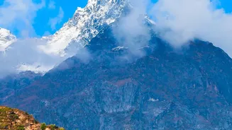
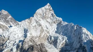
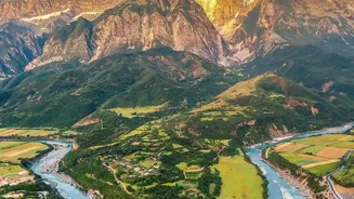
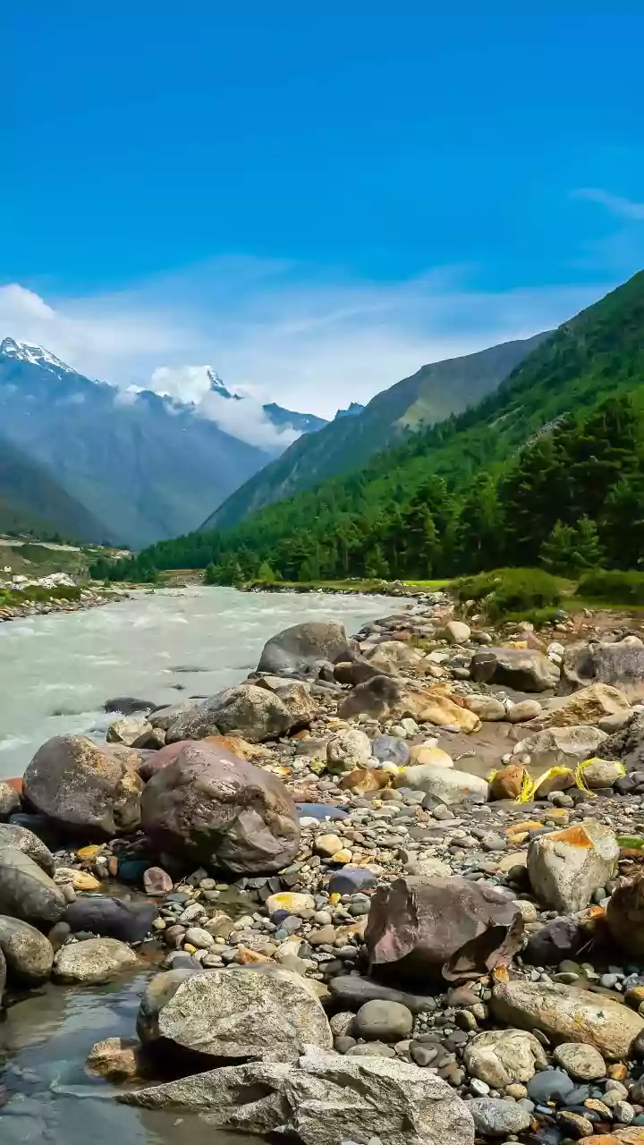
Nepal's geography is a story of dramatic descent. The country is broadly divided into three zones: the high Himalayas, the steep Middle Hills, and the low-lying Terai plains bordering India. This extreme topography acts as a natural accelerator for water.
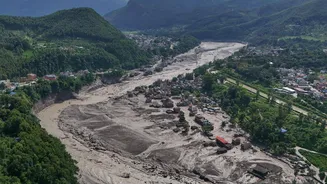
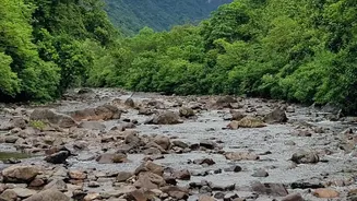
During the monsoon season, which brings about 80% of the annual rainfall from June to September, rivers born in the mountains can become raging torrents. They carve through fragile geology and rugged terrain, picking up speed and sediment as they plummet thousands of metres, creating a scenario where floods can materialize with frightening speed.
The Double-Edged Threat
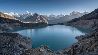
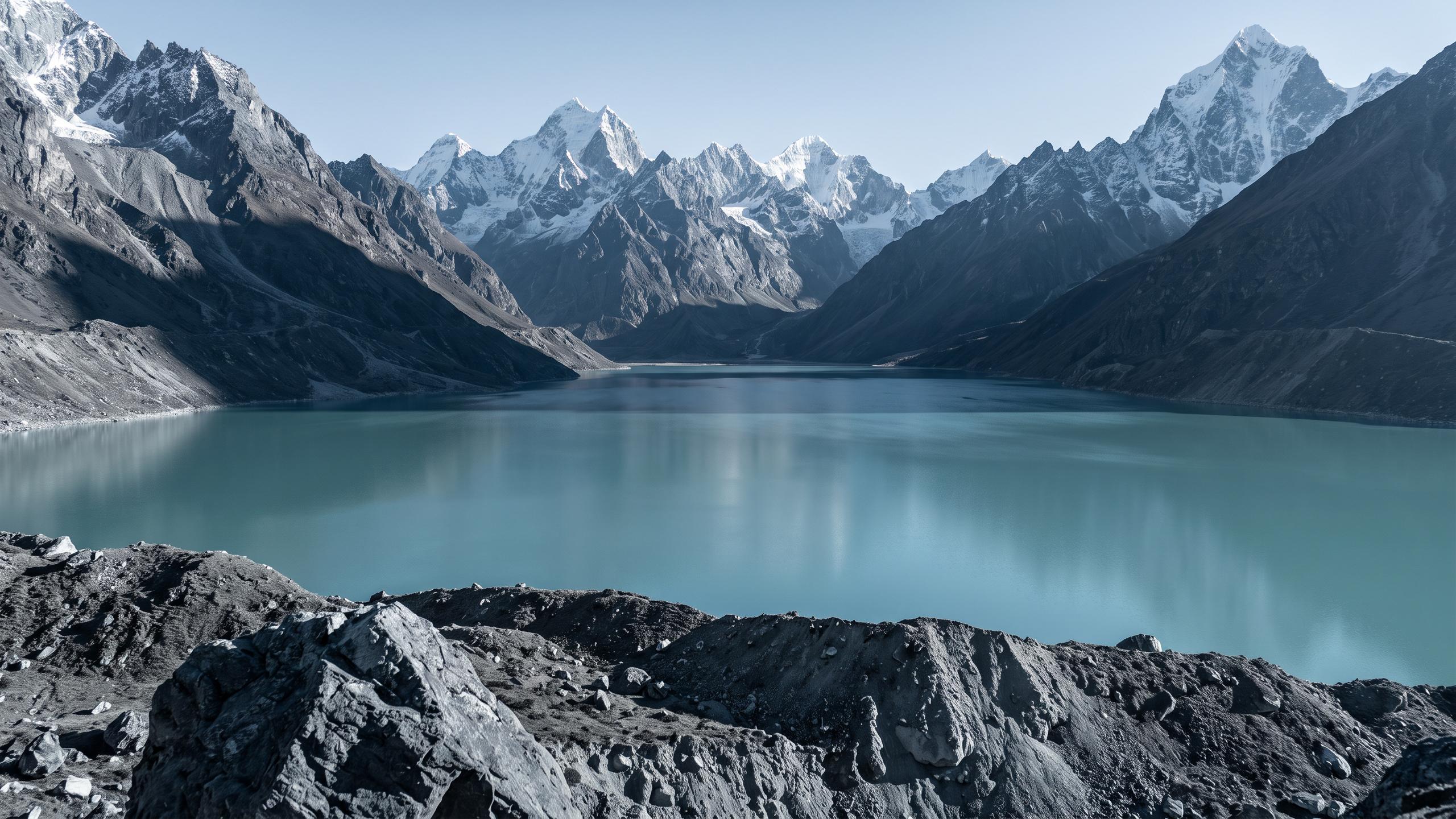
The nation faces two primary types of flood devastation. The first is flash flooding from intense monsoon downpours, which can quickly overwhelm river systems. The second, a direct consequence of climate change, is the growing danger of Glacial Lake Outburst Floods (GLOFs). As global temperatures rise, Himalayan glaciers are melting at an accelerated rate, forming vast, unstable lakes dammed only by loose rock and soil called moraines. There are at least 21 such potentially dangerous lakes in Nepal. If these natural dams are breached by an earthquake, avalanche, or simply the pressure of the rising water, they can release catastrophic volumes of water downstream with little to no warning.
The Terai's Inundation Problem
When the fast-moving rivers exit the hills, they enter the Terai plains—Nepal’s agricultural heartland and most densely populated region. Here, the landscape flattens abruptly. The rivers lose their energy, slow down, and deposit the massive loads of sediment they carried from the mountains. This process causes riverbeds to rise, forcing the water to carve new paths and overflow its banks, leading to widespread and prolonged inundation. This unique geographical transition means that even when a flood threat is identified upstream, the time to warn communities in the flat, expansive plains is critically short.
A Race Against the Clock
Given these geographical constraints, early warning systems are a matter of life and death. However, the lead time they provide is often minimal. While forecasting models and river gauges offer some notice, it can be as little as a few hours—or even minutes. This is why community-based early warning systems have become crucial. These systems rely on a network of volunteers, caretakers, and local officials who monitor river levels and disseminate warnings via sirens, SMS alerts, and loudspeakers. Active community participation in drills and preparedness is often the most effective tool for mitigating risk when technology can only provide a brief window to act.
Building Resilience from the Ground Up
Recognizing the limitations, efforts are underway to make these systems more robust. This includes strengthening upstream-downstream communication networks and fostering transboundary cooperation, as many of Nepal's rivers flow into India. Municipalities are beginning to pool resources to maintain and operate these warning systems, ensuring their long-term sustainability. The focus is shifting from a purely top-down technological approach to a people-centered one that empowers communities to prepare for and respond to floods. This blend of citizen science and technology aims to make every minute of lead time count.