







A New Perch in the Sky
Most Earth observation satellites orbit relatively close to the planet, in what is called a Low Earth Orbit (LEO). They zip around the globe, capturing high-resolution images as they pass over specific areas before moving on. India has a powerful constellation
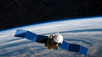
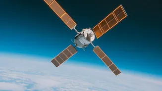
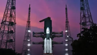
of these satellites, including the Cartosat and RISAT series. However, EOS-05 is different. Launched in September 2026, it operates from a geosynchronous orbit, approximately 36,000 kilometres high. At this altitude, the satellite's speed matches the Earth's rotation, allowing it to seemingly hover over the Indian subcontinent. This unique position moves India's capability from taking periodic snapshots to maintaining a near-continuous watch over a vast region.
Seeing More Than Ever Before
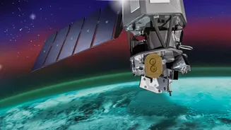
Instead of radar, EOS-05 is equipped with sophisticated optical imagers that see the Earth in remarkable detail from its high vantage point. It carries multispectral and hyperspectral sensors. Think of it as having an advanced camera that can see in many more colours than the human eye. This allows scientists to analyse not just the shape of what they are seeing, but also its condition. For example, these sensors can help determine the health of crops by detecting subtle changes in vegetation, identify different types of soil, or monitor the quality of water in large reservoirs. With a resolution of 42 metres, it is one of the most powerful cameras ever placed in such a high orbit, providing a blend of wide coverage and useful detail.
A Game-Changer for Disaster Management
One of the most significant benefits of EOS-05 is its ability to provide near-real-time imagery during natural disasters. For a country frequently affected by cyclones, floods, and forest fires, this is a revolutionary capability. While LEO satellites might provide one or two images of a developing cyclone per day, EOS-05 can deliver updates every few minutes. This allows authorities to track the storm's path, assess its intensity, and see the extent of flooding as it happens. This stream of constant information enables faster evacuations, more efficient deployment of response teams, and a more accurate understanding of the damage, ultimately helping to save lives and resources.
Boosting Agriculture and Environmental Health
Beyond emergencies, the satellite's persistent gaze is a boon for India's agricultural and environmental sectors. It can monitor large agricultural belts to assess crop health, estimate yields, and manage water resources more effectively across vast areas. This is crucial for ensuring food security. On the environmental front, EOS-05 will help track long-term changes like deforestation, the health of coastal ecosystems, and the impact of climate change on a national scale. Its ability to provide frequent updates on land use and vegetation cover gives policymakers a powerful tool for sustainable development and resource management.
A Strategic Eye for National Security
The ability to continuously monitor the entire Indian subcontinent and its maritime neighbourhood carries immense strategic importance. EOS-05 acts as a sentinel, enhancing India's situational awareness. Described as a 'strategic satellite', its data can be used to keep a watch on border regions, monitor movements across land and sea, and protect critical national assets. This capability strengthens the country's security apparatus by providing a layer of persistent surveillance that complements other intelligence-gathering assets, offering an integrated and more complete operational picture.