

The Legendary Road to Tawang
The route in question is the famed Balipara-Charduar-Tawang (BCT) road, a lifeline that connects the plains of Assam with the remote, high-altitude monastery town of Tawang. For travellers, this isn't just a highway; it's a multi-day adventure that typically
starts from Guwahati or Tezpur and requires overnight halts in towns like Bomdila and Dirang to acclimatise to the rising altitude. Covering roughly 330 kilometres from Tezpur, the drive is a slow, winding ascent into a different world. On a map, the distance seems manageable, but on the ground, the journey is measured in experiences, not hours. It’s a road that demands patience and rewards it with some of the most spectacular landscapes in the country.
A Tapestry of Ever-Changing Landscapes
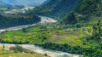
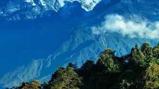
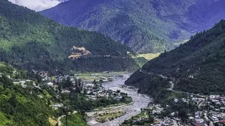
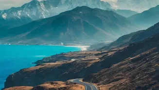
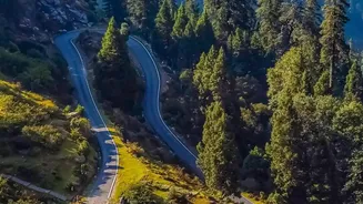
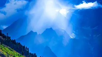
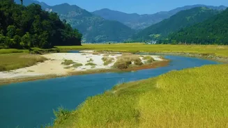
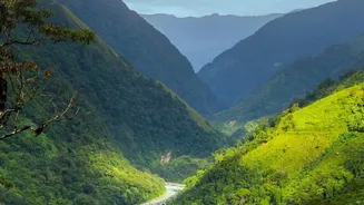
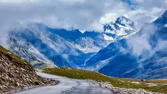
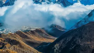
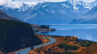
The 'scenic' part of the headline is an understatement. The drive begins in the lush, tropical greenery of Assam before climbing into Arunachal. The landscape transforms dramatically as you gain altitude, shifting from dense forests to terraced fields and quiet valleys. The road snakes alongside the rushing Kameng river before ascending through thick pine forests. The climax of this scenic drama is the approach to Sela Pass. At an elevation of 4,170 metres (13,700 feet), this high-altitude gateway to Tawang is a world of stark, alpine beauty. On a clear day, travellers are greeted by the sight of the crystal-clear, often partially frozen Sela Lake, surrounded by snow-dusted peaks. The views are immense, a powerful reminder of the Himalayas' scale and grandeur.
When Your Watch Becomes a Guideline, Not a Guarantee
The core of this route's character lies in its unpredictability, which stems primarily from two powerful forces: winter snow and monsoon rain. During the peak winter months, from December to February, heavy snowfall can blanket Sela Pass, making it treacherous and sometimes impassable. Roads become slippery, and authorities may restrict traffic or close the pass entirely, leaving travellers stranded on either side until the Border Roads Organisation (BRO) can clear a path. Conversely, the monsoon season from June to August presents a different challenge. Incessant rains saturate the fragile mountain slopes, leading to frequent and sometimes massive landslides. These can block the BCT road for hours or, in severe cases, for days, turning a standard eight-hour drive into a much longer wait.
The Sela Tunnel: A Modern Game-Changer
For decades, the weather at Sela Pass held the key to Tawang's accessibility. However, the recent inauguration of the Sela Tunnel has revolutionised travel on this route. This engineering marvel, located at a lower altitude of about 3,000 metres, bypasses the most weather-vulnerable sections of the pass. It provides an all-weather alternative, ensuring that connectivity to Tawang is maintained even during heavy snowfall, and cuts the journey time by at least an hour. While the tunnel offers reliability, especially for military convoys and those on a tight schedule, many travellers still opt to drive over the old pass road when the weather is clear to experience its iconic views and the serene beauty of Sela Lake.
Tips for a Successful Journey
Embarking on this road trip requires preparation. Firstly, never trust map-based time estimates; always budget for delays. Local drivers and tour operators recommend adding at least one or two buffer days to your itinerary. Given the strategic importance of the region, military convoys get priority, which can also lead to temporary halts for civilian traffic. Secondly, pack for all conditions. Layers of warm clothing are essential year-round, as temperatures can drop suddenly at high altitudes. Also, carry snacks, drinking water, and a basic first-aid kit, as shops and amenities are sparse between towns. Finally, break your journey. Driving directly to Tawang is not only exhausting but can also risk altitude sickness. Overnight stays in Bomdila or Dirang are crucial for acclimatisation and make the entire experience far more enjoyable.