



The Mountain's Accidental Dam
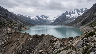
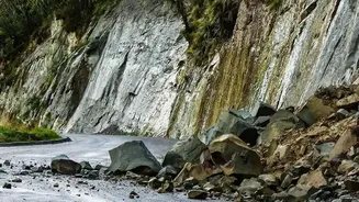
It begins with immense force. In seismically active and steep regions like the Himalayas, a massive landslide can send millions of tonnes of rock, soil, and debris crashing into a narrow river valley. This colossal amount of material can be large enough
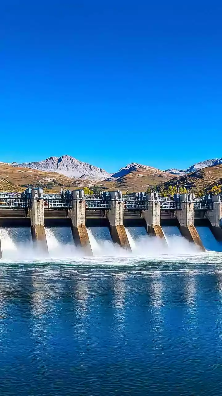
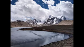
to completely block the river's flow, creating what is known as a landslide dam. Unlike a concrete dam built by engineers, this is an unplanned, chaotic barrier made of loose, unstable rubble. As the river continues to flow, water begins to build up behind this natural blockage, forming a large lake. This process can happen with terrifying speed, impounding a vast and growing body of water in a matter of hours or days.
Why These Lakes Are Ticking Time Bombs
While the newly formed lake might look serene, the dam holding it back is inherently weak. These natural dams are a jumble of unconsolidated materials with no engineered spillways or structural reinforcement. This makes them highly susceptible to failure. There are two primary ways they can burst. The first is through overtopping: as the lake fills, water eventually spills over the top of the loose dam, rapidly eroding the rock and soil and carving a breach. The second is through structural failure, where the immense pressure of the water finds a weak point and begins to seep through the dam, a process which can quickly destabilize the entire structure, leading to a total collapse.
The Anatomy of a Catastrophic Flood
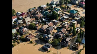
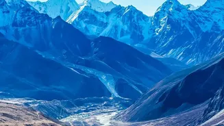
The failure of a landslide dam unleashes what is known as a Landslide Dam Outburst Flood (LDOF). This is not a slow rise in water levels; it is a sudden, violent event. The breach releases a torrential wave of water mixed with the very debris that formed the dam—a churning slurry of mud, boulders, and uprooted trees. This wall of water moves downstream with incredible speed and destructive power, capable of destroying anything in its path, including bridges, roads, and entire settlements. Water levels in rivers downstream can rise by several metres in just half an hour, giving communities very little time to react. The recent catastrophic event in Nepal on August 26, 2026, was triggered by a glacier collapse that created a debris flow, illustrating the devastating speed and scale of such disasters.
Why Nepal's Floods Matter to India
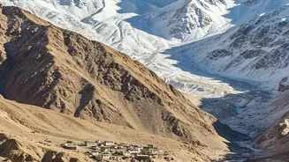
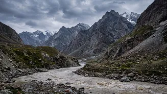
The geography of the region means that what happens in Nepal's mountains doesn't stay in Nepal. Many of the major river systems, including the Kosi, Gandak, and Karnali, originate in the high Himalayas and flow down through Nepal before crossing into India. They are the lifelines for vast, densely populated areas in states like Bihar and Uttar Pradesh. A major LDOF event upstream on a river like the Trishuli can travel hundreds of kilometres. As it moves downstream, it can cause the Gandak river to swell, threatening communities far from the initial disaster. Recognizing this shared vulnerability, authorities in India often issue high alerts in these northern states when such events occur, preparing for potential inundation and evacuating low-lying areas.
Monitoring and Early Warning
Given the immense danger, monitoring these landslide-dammed lakes is a critical, albeit challenging, task. Authorities and international organizations use satellite imagery to detect the formation of these lakes and monitor their stability. However, their remote and often inaccessible locations make on-the-ground intervention difficult. The most effective tool for saving lives is a robust early warning system. Cross-border cooperation between countries like Nepal and India to share hydrological data is crucial. Systems that can provide timely alerts via SMS and local alarms allow downstream communities to evacuate to higher ground, turning a potentially catastrophic event into a manageable emergency.