


An Inferno Creating Its Own Storm
Wildfires have been raging across France's Gironde region, an area famous for its wine and coastal tourism. The blazes have burned an area four times the size of Paris, forcing the evacuation of over 220,000 people in what may be the nation's largest
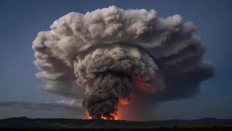
peacetime evacuation. Amid this crisis, firefighters and meteorologists observed the fire doing something never before officially recorded in France: it generated a pyrocumulonimbus cloud, or pyroCb. Put simply, the fire grew so large and hot that it created its own thunderstorm. This wasn't just weather influencing the fire; the fire was now creating the weather.
What Exactly Is a 'Fire Cloud'?
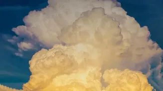
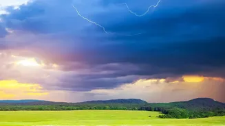
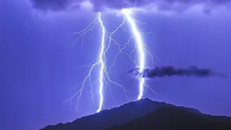
Imagine a thunderstorm, but instead of forming on a hot, humid summer day, it’s born directly from the intense heat of a massive wildfire. That's a pyrocumulonimbus. The fire creates a powerful updraft of superheated air, smoke, and ash. As this column of hot air rockets upwards into the colder, upper atmosphere, moisture condenses around the ash particles, forming a towering, anvil-shaped storm cloud that can reach altitudes of 10 to 15 kilometres. NASA has called them the "fire-breathing dragon of clouds." The result is a fully formed thunderstorm, complete with its own powerful winds and lightning, all generated by the inferno on the ground.
A Self-Sustaining and Vicious Cycle
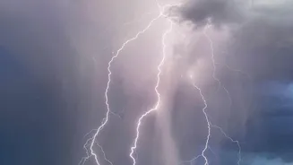
The formation of a pyroCb makes an already dangerous wildfire exponentially more unpredictable and destructive. The cloud generates its own powerful and erratic winds, which can change the fire's direction in an instant, endangering firefighters and cutting off evacuation routes. Even more dangerously, the cloud produces lightning. These lightning strikes can occur miles away from the original blaze, igniting new spot fires in dry vegetation and causing the disaster to spread with terrifying speed. When the cloud loses energy, it can also collapse, sending a downburst of burning debris and hot air to the ground, further fanning the flames. It creates a vicious cycle where the fire feeds the storm, and the storm spreads the fire.
Why 'Unprecedented' in France Matters
While pyrocumulonimbus clouds have been documented in places with historically extreme fire seasons, like Australia and North America, their appearance in France is a landmark event. The French national firefighters federation confirmed it had never recorded one in the country before. Its formation signals that the wildfires in Europe are reaching a new level of intensity. Portugal recorded one during its deadly 2017 fire season, but for France, this is new territory. The event serves as a stark confirmation that fire behaviour is changing, and the conditions that create these fire-breathing storms are now present in regions that were previously not considered at high risk for such phenomena.
A Glimpse of a Warmer Future
The emergence of France's first pyroCb is not just a freak weather event; it's a symptom of a broader trend. Europe is warming at roughly twice the global average, leading to more frequent and severe heatwaves and widespread drought. These conditions create vast landscapes of tinder-dry vegetation, which is the perfect fuel for megafires intense enough to generate their own weather. While scientists don't have enough long-term data to establish a definitive trend for pyroCbs in Europe, the underlying conditions are becoming more common. The monstrous fire-cloud over the Gironde is a dramatic illustration of how climate change is not a distant threat, but a present-day reality that is actively making natural disasters more extreme and unpredictable.