






An Eye in the Sky for Everyone
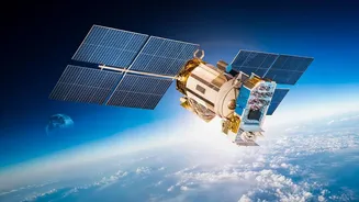
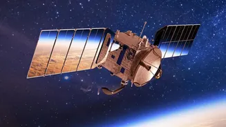
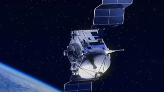
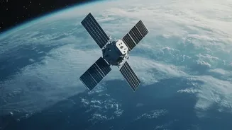
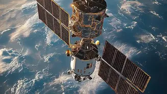
Not long ago, obtaining a detailed satellite image of a specific location was the exclusive domain of superpowers and their intelligence agencies. By 2026, this has fundamentally changed. A swarm of private companies has launched thousands of small, relatively
inexpensive satellites into Low Earth Orbit, creating vast constellations that photograph the entire planet with astonishing frequency. Companies are now providing high-resolution optical imagery, with some offering details as sharp as 25 to 30 centimetres, making it possible to distinguish small objects from space. This isn't just about static pictures; it's about persistent monitoring. Furthermore, technologies like Synthetic Aperture Radar (SAR) can see through clouds and darkness, providing all-weather, 24/7 surveillance capabilities that are becoming mainstream. This commercialisation has democratised access to geospatial data, turning what was once a niche tool into a widely available resource.
AI: The Supercharged Analyst
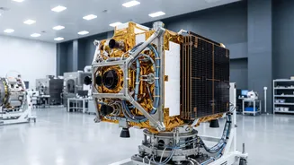
The sheer volume of data beamed down from these satellite fleets—petabytes of it—is far too much for human analysts to handle. This is where Artificial Intelligence steps in, acting as the backbone of modern Earth Observation. AI and machine learning algorithms are no longer just an add-on; they are essential for turning raw imagery into actionable insights, a trend some are calling the 'GPT moment' for geospatial intelligence. These AI models can automatically detect changes, identify objects, and find patterns that the human eye would miss. For example, an AI can compare a new image with a historical baseline to instantly flag new construction, detect signs of illegal mining, or monitor the health of critical infrastructure like pipelines and power lines. Some companies are even developing satellites that process data on-board using AI, enabling them to identify anomalies and send alerts in near real-time, a crucial advantage in fast-moving situations.
From Farming to National Security
The applications of this technology are transforming industries. In India, where the geospatial intelligence market is projected to grow significantly, the impact is profound. For agriculture, satellite data can predict crop yields, monitor for stress before damage is visible, and optimise the use of water and fertilisers. In urban planning, it helps manage rapid expansion and monitor infrastructure. For disaster management—a critical area for India—near-real-time imagery is a game-changer for responding to floods, cyclones, and wildfires. Beyond civilian uses, this data provides a new layer of security intelligence, allowing for the monitoring of border activities and maritime surveillance. Governments are increasingly adopting a hybrid model, combining their own intelligence with data purchased from these commercial providers.
The Unregulated Digital Frontier
This explosion in capability comes with a host of complex governance challenges. The international legal framework for space, largely based on treaties from the Cold War era, is struggling to keep pace with a rapidly commercialising industry. Key questions remain unanswered: Who truly owns the data collected by a private satellite of another country's territory? What are the implications for individual privacy when commercial entities can capture such detailed imagery? And how can this powerful technology be prevented from being used for malicious purposes? There is no clear international licensing or regulatory body for commercial remote sensing, creating a legal gray area. As a result, the industry largely operates in a patchwork of national laws and voluntary best practices, raising concerns about data security, potential monopolies, and equitable access to information.
India's Stake in the Cosmos
Recognising both the opportunity and the challenge, India has moved decisively to redefine its space ecosystem. The Indian Space Policy 2023 marks a strategic shift, encouraging private sector participation in what was once a government-led domain. The goal is to grow India's share of the global space economy to $44 billion by 2033, a target that requires significant private investment and innovation. Agencies like the Indian National Space Promotion and Authorisation Centre (IN-SPACe) have been created to act as a single-window regulator for private space activities. This reform allows ISRO to transition away from routine manufacturing and focus on advanced R&D and strategic missions. While ISRO has clarified this is not privatisation, it is a move to build a larger, more competitive national space industry, balancing commercial ambition with sovereign control over critical capabilities.