


The View from Orbit
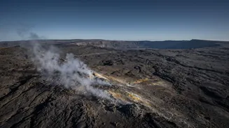
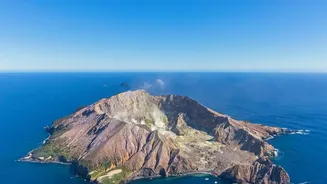
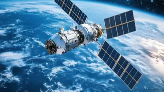
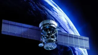
Of the roughly 1,500 potentially active volcanoes on Earth, many are in remote corners of the globe, making them difficult and dangerous to monitor from the ground. This is where satellites have become indispensable. Orbiting platforms from agencies like
NASA and the European Space Agency provide a global safety net, using a suite of sophisticated sensors to look for tell-tale signs of volcanic unrest. They scan the planet using radar, infrared, and other parts of the electromagnetic spectrum, peering through darkness and even clouds to provide a continuous stream of data to scientists on the ground. This constant surveillance helps identify which volcanoes are waking up long before they pose an immediate threat.
Sensing the Swell
One of the most critical signs of a potential eruption is when the ground itself begins to change shape. As magma, or molten rock, rises from deep within the Earth and accumulates beneath a volcano, it can cause the surface to bulge and swell like a balloon. This movement, known as ground deformation, may only be a few centimetres, but it is a clear indicator of building pressure. Satellites are exceptionally good at spotting this. Using a technique called Interferometric Synthetic Aperture Radar (InSAR), they can compare radar images of a volcano taken at different times to create a detailed map of surface movement with centimetre-scale accuracy. This gives volcanologists a crucial picture of the magma plumbing system below.
Sniffing for Gases
Before magma breaks the surface, it often releases gases that travel up through cracks in the rock. One of the most important of these is sulfur dioxide (SO2). A sudden increase in SO2 emissions is a strong clue that magma is ascending and an eruption could be more likely. Specialized instruments on satellites can 'sniff' the atmosphere for these tell-tale chemical signatures from orbit. By measuring the concentration of SO2 over a volcano, scientists can monitor changes in the magmatic system. After an eruption begins, this same technology is vital for tracking the movement of ash and gas clouds, which pose a significant hazard to aviation and can impact air quality over vast distances.
Taking the Temperature
Another key vital sign that satellites monitor is heat. Long before lava appears, the movement of magma can cause subtle but significant changes in a volcano's surface temperature. Using thermal infrared sensors, satellites can detect these 'hotspots' and identify areas where the ground is warming up. Research has shown that in the years leading up to an eruption, the surface temperature over large areas of a volcano can increase by around one degree Celsius. Systems like NASA’s MODIS instrument can pick up on these slight thermal anomalies, providing another layer of evidence that a volcano may be transitioning from a dormant to an active state.
The Limits of Remote Viewing
For all their incredible capabilities, satellites cannot definitively predict an eruption. They can detect the warning signs—the swelling, the gas, the heat—but they cannot tell us exactly when an eruption will happen, how big it will be, or how long it will last. Volcanic systems are immensely complex, and not every volcano that shows signs of unrest will erupt. Furthermore, satellite data is just one tool in the toolbox. The most effective monitoring combines satellite observations with ground-based networks of seismometers, GPS stations, and direct field analysis. Signals from space can also be ambiguous; atmospheric conditions can interfere with measurements, and some sensors lack the resolution to see small-scale changes.