
Eyes in the Sky
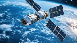
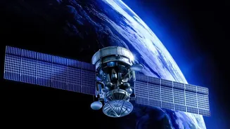
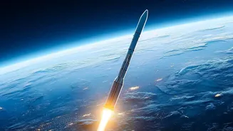
One of the most powerful tools in a volcanologist's arsenal is the satellite. Orbiting hundreds of kilometres above Earth, these sentinels provide a big-picture view of volcanic regions that is impossible to get from the ground. A key technique is Interferometric
Synthetic Aperture Radar (InSAR). By comparing two radar images of the same area taken at different times, scientists can detect minute changes in the ground surface. If magma begins to move or accumulate beneath a volcano, it can cause the ground to swell upwards by mere centimetres. InSAR can map this deformation with incredible precision, providing a crucial early warning that a volcano is waking up. This is especially vital for remote volcanoes that are difficult to access. Radar's ability to see through clouds and operate day or night makes it an invaluable, all-weather monitoring tool.
Feeling the Heat from Afar
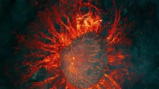
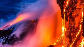
An impending eruption is often preceded by changes in heat. As magma rises closer to the surface, it heats the surrounding rock, creating thermal anomalies. Scientists detect these temperature changes using thermal imaging cameras, which measure infrared radiation—energy that is invisible to the human eye but which we feel as heat. These cameras can be mounted on helicopters, aircraft, or installed in fixed locations for continuous monitoring. They can even see through volcanic fumes that would obscure a normal camera, allowing researchers to peer into active vents and map lava flows with greater clarity. Satellites are also equipped with thermal sensors. While their resolution may be lower than ground-based cameras, they can scan vast areas to detect new hotspots, prompting a closer look from other instruments. This ability to 'see' heat helps scientists distinguish active areas from inactive ones and provides critical data for forecasting.
Analysing a Volcano's Breath
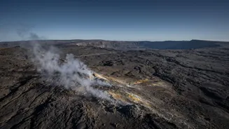
Volcanoes release a cocktail of gases, and the composition of this mixture can reveal a lot about what is happening underground. Changes in the amounts of gases like sulfur dioxide (SO2), carbon dioxide (CO2), and hydrogen sulfide (H2S) are key indicators of volcanic unrest. Scientists use a technique called Differential Optical Absorption Spectroscopy (DOAS) to measure these gases remotely. Instruments on the ground or mounted on aircraft analyse the sunlight that passes through a volcanic plume. Since different gases absorb specific wavelengths of light, the equipment can calculate the concentration of gases like SO2 in the plume. Combining this with wind speed allows scientists to estimate the total emission rate—how much gas the volcano is releasing per day. A significant increase in SO2 emissions, for example, is often a strong sign that fresh magma is ascending.
A Symphony of Data
No single technology provides the full picture. The strength of modern volcano monitoring lies in combining data from multiple sources. Information on ground deformation from InSAR, thermal anomalies from infrared cameras, and gas composition from spectrometers are all fed into complex models. This integrated approach allows scientists to cross-reference different signs of unrest, building a more reliable and comprehensive assessment of the potential hazard. For instance, a bulge detected by satellite radar might be correlated with a new hotspot seen by a thermal camera and a spike in sulfur dioxide. Together, these signals paint a much more urgent picture than any single data point would on its own. This fusion of technologies is crucial for improving eruption forecasts and giving authorities timely information to protect communities living in the shadow of these geological giants.