


A Deluge Without a Downpour
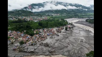
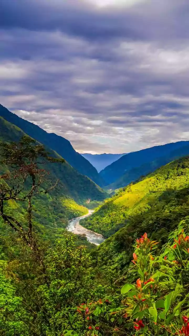
Imagine a wall of water, mud, and debris suddenly roaring down a mountain valley on a relatively dry day. This has become a terrifying reality in Nepal. While the monsoon season always brings a heightened risk of flooding, recent events, like the devastating
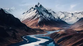
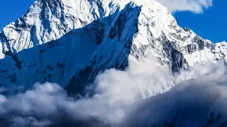
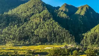
2021 Melamchi Valley flood, have highlighted a different and more complex trigger. Eyewitnesses and initial reports often note the baffling absence of extreme local rain, pointing to a cause originating far upstream, high in the remote, snow-capped peaks of the Himalayas. This paradox is central to any modern flood inquiry in the region; the culprit isn't just the weather overhead, but the stability of the mountains themselves.
The Real Trigger: A Cascade of Hazards
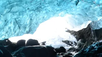
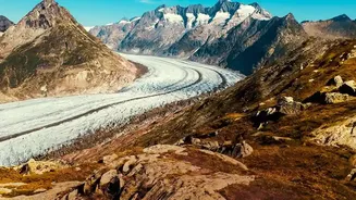
If not heavy rain, then what? The answer lies in a dangerous chain reaction known as a cascading hazard. It often begins with the effects of a warming climate on the world's 'Third Pole'. As glaciers retreat at an accelerated pace, they leave behind vast, unstable lakes dammed only by loose rock and soil, known as moraines. These are called Glacial Lake Outburst Floods (GLOFs). A landslide, an avalanche of ice and rock, or even just the pressure from excessive snowmelt can cause these natural dams to burst suddenly. This releases an enormous volume of water in an instant, but that's only the beginning of the problem. Recent analyses, including of a major flood in August 2026, suggest the initial event could be a massive glacial collapse, which then triggers the rest of the devastating sequence.
When Water Turns to Liquid Concrete
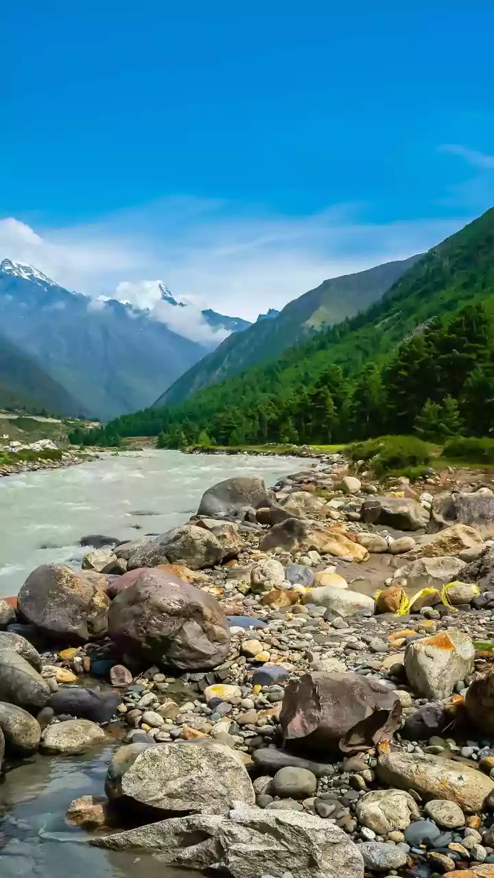
The initial burst of water is not the biggest threat. As this torrent rushes down steep mountain slopes, it gathers immense power, eroding the landscape and picking up millions of tonnes of loose sediment, boulders, and debris. Experts refer to this as sediment amplification. The flood transforms from a water event into a thick, fast-moving slurry that has been described as 'liquid concrete'. This debris flow is far more destructive than water alone, possessing the force to obliterate bridges, bury entire settlements, and fundamentally alter the course of a river. In many cases, the sheer volume of sediment, not water, is what causes the most catastrophic damage downstream.
A Changed and Dangerous Landscape
Climate change is making the Himalayan landscape increasingly unstable. Beyond creating dangerous glacial lakes, rising temperatures are thawing permafrost, which is the frozen ground that holds many steep slopes together. This makes landslides and rockfalls more frequent. Furthermore, each major flood event leaves the landscape permanently scarred and more vulnerable. River channels are choked with new debris, slopes are undercut and destabilized, and infrastructure is weakened, setting the stage for future disasters to be even worse, even with less of a trigger. An inquiry must recognize that the hazard map is constantly being redrawn by these events.
The Focus of a Modern Flood Inquiry
This new understanding demands that any official inquiry or disaster prevention strategy looks far beyond local rainfall gauges. The focus must shift to the entire watershed, from the highest peaks to the downstream plains. Key questions for investigators now include monitoring the stability of the 47 glacial lakes identified as potentially dangerous, assessing landslide risks in geologically fragile zones, and understanding how poorly planned infrastructure, like roads cut into mountainsides, might be contributing to slope instability. Effective early warning systems are crucial but incredibly complex; they can no longer just predict rain, but must also detect seismic signals from landslides or sudden changes in river flow, often requiring cross-border cooperation.