




A Disaster Unfolds
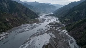
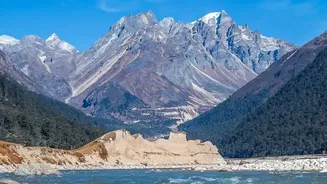
On August 26, a torrent of water, mud, and debris surged through the mountainous region along the Nepal-Tibet border, causing widespread destruction. Villages were swept away, buildings and bridges were destroyed, and by August 28, the death toll had
tragically climbed into the hundreds, with over 1,400 people still reported as missing, including foreign nationals. The immediate assumption for many was that the disaster was another case of extreme monsoon rainfall overwhelming a river system. However, experts and initial data analysis are now telling a different, more complex story.
The Collapse Theory Emerges
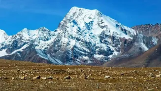
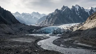
While the region is in its monsoon season, experts noted that significant rainfall did not appear to be the direct trigger for this specific event. Instead, attention has shifted high into the Himalayas. Preliminary investigations by multiple scientific bodies point to a massive collapse of a glacier as the starting point of the catastrophe. Satellite imagery reviewed by scientists shows that a huge section of a glacier, along with rock, appears to have broken off from a mountain at an elevation of about 5,200 metres. This colossal mass of ice and rock then crashed into the valley below, creating a disaster cascade.
The Seismic Signature of a Collapse
One of the most compelling pieces of evidence supporting the collapse theory came from seismic monitors. The U.S. Geological Survey (USGS) initially reported a seismic event in the area, leading to speculation that an earthquake might have triggered the flood. However, upon further analysis, the USGS corrected its report, concluding that the seismic energy, equivalent to a magnitude 5.2 earthquake, was not generated by a tectonic event but by the glacial collapse and subsequent debris flow itself. In essence, the mountain falling did not happen because of an earthquake; the falling mountain was the earthquake.
Why the Distinction Matters
Distinguishing between a rain-induced flood and a collapse-induced flood is crucial for several reasons. Most flash flood warning systems are based on rainfall, meaning a disaster triggered by a structural or glacial collapse can occur with little to no warning. This event exposes the limitations of current warning models in high-mountain regions. Furthermore, the cause determines the path toward prevention. If extreme rain is the sole culprit, the focus is on managing river flows and building higher embankments. But if a collapse is the cause, the focus shifts to monitoring geological and glacial instability, which is often exacerbated by climate change. Scientists have noted that warming in the Himalayas is destabilizing glaciers, making such collapses more likely.
A Cascade of Failures
The initial collapse triggered what experts call a 'hazard cascade'. The falling ice and rock turned into a massive avalanche that slammed into a river, temporarily blocking it. This created a natural dam, behind which a massive volume of water accumulated. When this dam inevitably burst, it released a powerful, debris-laden flood downstream. This wall of water was so destructive that it also reportedly caused several man-made structures, including hydroelectric dams under construction, to fail, adding even more water to the flood and compounding the disaster.