






What is NavIC and Why Is It Important?
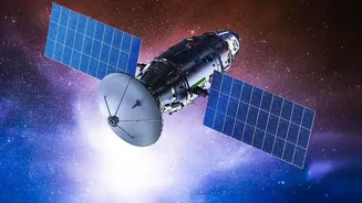
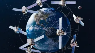
NavIC, short for Navigation with Indian Constellation, is India's homegrown answer to the American GPS. Developed by ISRO, it is a regional navigation satellite system designed to provide accurate positioning and timing services over India and a region extending
about 1,500 kilometers beyond its borders. This independence is not just a matter of national pride; it's a strategic necessity. Having a sovereign navigation system ensures that India's critical services, from military operations and disaster management to transport and logistics, are not dependent on foreign systems that could be denied or degraded during geopolitical conflicts. The Kargil War in 1999, when India was reportedly denied crucial GPS data, highlighted this vulnerability and spurred the development of an independent system. NavIC provides two types of services: a Standard Positioning Service (SPS) for all civilian users and an encrypted Restricted Service (RS) for strategic and military use.
A Constellation in Crisis
To provide a standalone navigation fix, a system needs at least four operational satellites. For years, India's NavIC constellation has been grappling with a significant problem: the premature failure of atomic clocks on its first-generation satellites. These ultra-precise clocks are the heart of any navigation system, with even a microsecond of error translating into hundreds of meters of inaccuracy on the ground. Many of the imported rubidium atomic clocks on the initial IRNSS-series satellites failed well before their expected 10-year lifespan. As more satellites went offline or aged out, the constellation fell below the minimum four required for positioning services. At present, NavIC has only three satellites fully capable of providing positioning, navigation, and timing (PNT) services, rendering its standalone navigation feature inactive, though its timing service remains functional.
Enter NVS-03: The Reinforcement
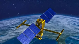
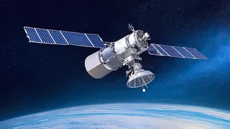
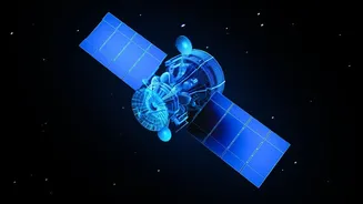
The upcoming launch of NVS-03 is a critical step towards reviving the constellation. As a second-generation satellite, it comes with significant upgrades. Most importantly, it is equipped with a new, indigenously developed Rubidium atomic clock, built by the Space Applications Centre in Ahmedabad to be more robust and reliable than the imported ones that previously failed. The satellite is designed for a longer mission life of 12 years and will also transmit signals in the L1 frequency band, a globally used civilian band that will improve NavIC's interoperability with other global systems and make it easier for consumer devices like smartphones to adopt it. The launch, targeted for a window between October 15 and 20, is a key mission for ISRO, especially after the NVS-02 satellite failed to reach its intended orbit in January 2025.
The Path to Restoring Aatmanirbhar Navigation
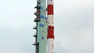
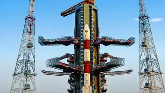
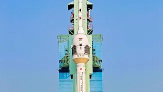
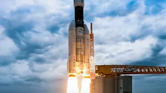
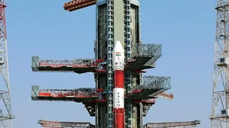
A successful launch and deployment of NVS-03 will bring the number of operational satellites back to the crucial number of four, restoring NavIC's ability to provide independent positioning services. Preparations are in full swing at the Satish Dhawan Space Centre in Sriharikota, with the launch campaign having started on September 14. The satellite is already at the spaceport, and the stacking of the GSLV-Mk2 rocket's first stage has been completed. Once in orbit, the satellite will undergo a series of manoeuvres and in-orbit tests before it is integrated into the constellation. This mission is pivotal for India’s strategic autonomy. A fully functional NavIC is essential for military applications like guiding precision munitions and coordinating troop movements, ensuring India does not have to rely on foreign networks during a crisis.
What a Stronger NavIC Means for India
Beyond its military importance, a robust NavIC system has far-reaching benefits for the Indian public. It promises more accurate and reliable navigation for transportation, whether for vehicle tracking in public transport, route planning for logistics, or everyday use in cars and phones. In disaster management, it can provide precise location data for early warnings and guide rescue operations more effectively, especially in areas where other networks might fail. For sectors like agriculture, it enables precision farming, and for fishermen, it provides alerts and navigation support at sea. The push for NavIC compatibility in smartphones and other devices will also get a significant boost, leading to wider adoption and strengthening India's self-reliance in the digital ecosystem.