



Visualising Climate Change
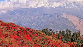
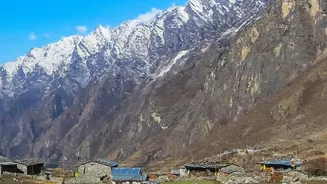
Perhaps the most dramatic story told by long-term satellite imagery is that of our changing climate. The visual evidence is stark and undeniable. By comparing images from the 1970s to today, scientists can track the retreat of massive glaciers in the Himalayas
and polar regions, watching them shrink year by year. This continuous record, provided by programs like the NASA/USGS Landsat mission, offers concrete proof of a warming world. Beyond ice, satellites monitor rising sea levels with incredible precision, detecting changes that would be impossible to measure from the ground. They also track the increasing frequency and intensity of phenomena like wildfires, mapping burn scars and assessing recovery, which helps us understand and prepare for future climate-related risks.
Guarding Our Forests and Fields
The world's forests, crucial for absorbing carbon dioxide, are vast and often inaccessible. Satellites provide a vital watchdog function. By comparing images over time, analysts can detect illegal logging, track the spread of deforestation for agriculture in regions like the Amazon, and monitor the health of these critical ecosystems. Different types of sensors, including optical and radar, can even see through clouds, making them invaluable in tropical areas. This technology is not just about loss; it also helps in monitoring reforestation efforts. In agriculture, the same principles apply. Satellite archives allow researchers to monitor the health of croplands over many seasons, analyse soil quality, and track how water availability fluctuates, helping to forecast yields and manage food security.
Mapping Urbanisation and Human Footprints
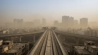
The relentless expansion of our cities is another global trend made visible from space. Satellite data allows urban planners and sociologists to watch the conversion of rural and natural land into residential, commercial, and industrial areas. These time-lapse views show how megacities like Delhi or Mumbai have grown over decades, consuming surrounding landscapes. This information is critical for managing infrastructure, assessing the environmental impact of urbanisation, and understanding the 'urban heat island' effect, where cities are significantly warmer than their rural surroundings. This long-term perspective helps decision-makers plan for more sustainable growth by providing clear, objective data on the pace and pattern of our expanding human footprint.
Uncovering Secrets of the Past
While satellites are often seen as futuristic, they are also powerful tools for looking back into ancient history. The field of satellite archaeology uses archival imagery to uncover lost cities and ancient structures. Over time, buried ruins can cause subtle changes in the soil moisture and vegetation growth above them. These 'crop marks' or soil marks are often too faint to see from the ground but become apparent when comparing satellite images from different seasons or years. Declassified spy satellite photos from the 1960s have been particularly valuable, as they show landscapes before modern agricultural development and urban sprawl erased many ancient features. This has led to the discovery of ancient irrigation networks, forts, and settlements across the Middle East and beyond.
Managing Precious Water Resources
Water is life, and managing it effectively is a growing challenge. Satellite archives offer an unparalleled view of the planet's water cycle. By comparing images, hydrologists can monitor the water levels in reservoirs, lakes, and rivers over decades. This data is crucial for anticipating droughts and managing water allocations for cities and agriculture. Following major floods, comparing 'before' and 'after' images provides a rapid assessment of the extent of the damage, which is essential for emergency response teams. Satellites can even track changes in groundwater by measuring tiny shifts in the Earth's surface. This long-term, large-scale perspective is indispensable for ensuring the sustainable management of our most vital resource.