




A World Beneath the Dust
For decades, rovers and orbiters have given us stunning images of Mars's rusty, rock-strewn landscapes. Yet, scientists believe the most profound discoveries—including clues about past life and resources for future astronauts—are buried just below the surface.
This subsurface world could hold vast deposits of water ice, preserve ancient organic molecules from harsh radiation, and reveal the planet's true geological history. The challenge has always been how to access it. Drilling is difficult and slow, but a new generation of technology is poised to give us our first detailed look at the Martian underground without ever breaking ground.
The Power of Ground-Penetrating Radar
Ground-penetrating radar, or GPR, is a technology that allows scientists to create images of what lies underground. Think of it as a geological ultrasound, sending radio waves into the ground and listening for the echoes that bounce back from different layers of soil, rock, and ice. NASA's Perseverance rover is already equipped with a GPR instrument called RIMFAX (Radar Imager for Mars' Subsurface Experiment). Since it began operating, RIMFAX has successfully mapped subsurface rock layers down to depths of 20 meters, revealing the history of the Jezero crater floor in incredible detail. But a rover-based GPR is limited; it can only scan the ground directly beneath its path. To truly map the Martian subsurface, NASA needed to take this technology to the air.
The Helicopter Advantage
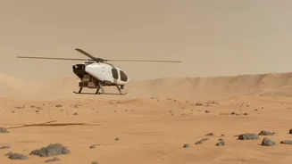
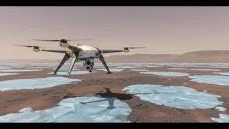
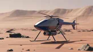
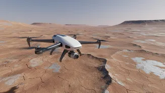
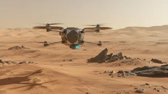
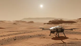
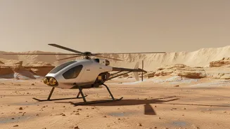
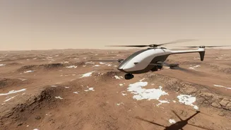
The historic success of Ingenuity, the first helicopter to achieve powered flight on another planet, opened a new frontier for exploration. While Ingenuity was a technology demonstration with no science instruments, it proved that flying on Mars was possible. Now, concepts like the Mars Science Helicopter envision larger, more capable rotorcraft that can carry sophisticated payloads. An aerial GPR platform would be a game-changer. A helicopter can cover far more ground than a rover and venture into rugged terrain that is otherwise inaccessible. This mobility allows for the creation of comprehensive 3D maps of the subsurface, turning scattered data points into a detailed picture of an entire area.
Introducing the Skyfall Concept
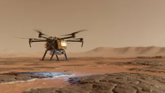
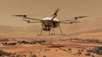
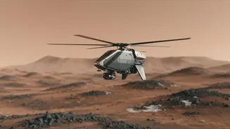
The Skyfall mission is a bold concept that builds on Ingenuity's legacy. It proposes sending a trio of advanced, autonomous helicopters to Mars, scheduled for a potential launch in late 2028. Each helicopter would be equipped with a lightweight, flexible GPR antenna designed to search for subsurface water ice. Recent tests at NASA's Jet Propulsion Laboratory have focused on this innovative antenna, which is designed to look like a small cape trailing behind the helicopter. It needs to be flexible enough to bend during landing on uneven ground but resilient enough to spring back into its precise shape for data collection in the air. This 'cape' will allow the Skyfall helicopters to fly low and slow, mapping the transition from dry soil to buried ice with unprecedented resolution.
The Search for Ice and Safe Landings
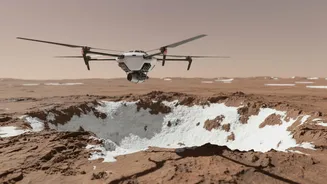
The primary goal of an aerial GPR system like the one proposed for Skyfall is to find water ice. Locating accessible ice deposits is a top priority for NASA, as it could one day be harvested by astronauts for drinking water, breathable oxygen, and rocket fuel. Flying low, Skyfall's radar could peer into the upper few meters of the Martian crust—a zone invisible to powerful orbiting radar but crucial for human exploration. Beyond prospecting for resources, the GPR data would also be vital for mission safety. It can reveal hidden dangers like unstable ground or hollow lava tubes that could pose a risk to landing spacecraft or future surface crews, ensuring the first human explorers on Mars have a firm footing.