




The Commercial Conquest of Orbit
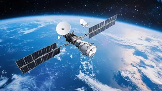
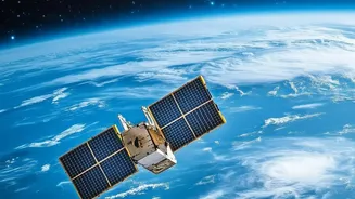
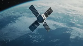
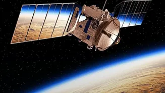
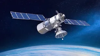
Not long ago, launching and operating satellites was the exclusive domain of global superpowers. Today, a new space race is underway, and its biggest players are corporations. Companies like Planet Labs, Maxar Technologies, and BlackSky have deployed
vast constellations of small, relatively inexpensive satellites. This boom is fueled by lower launch costs, thanks in large part to reusable rocket technology. These companies are placing hundreds of Earth-observing satellites into orbit, blanketing the globe and capturing images of its entire surface with unprecedented frequency. What was once a daily or weekly snapshot has become a near-constant stream of high-resolution data, turning the planet into a searchable database. This fundamental shift from government-led reconnaissance to commercial service has democratized access to a capability once reserved for intelligence agencies.
AI: The Brain That Never Sleeps
The sheer volume of data produced by these satellite constellations is staggering—terabytes upon terabytes every single day. This firehose of information would be useless without a way to analyze it at scale. This is where artificial intelligence becomes the second key part of the revolution. AI algorithms can sift through petabytes of imagery to find what a human analyst might miss. They excel at detecting patterns, tracking changes over time, and identifying specific objects, from ships at sea to new construction sites or signs of deforestation. AI doesn't just see the picture; it provides context. By comparing a new image to a historical baseline, it can instantly flag anomalies—a new military encampment, a damaged bridge after a flood, or unusual activity at a port—providing what the industry calls "decision-grade intelligence within minutes."
A World of Benefits
The fusion of commercial satellites and AI is already delivering tangible benefits across numerous sectors. For agriculture, it enables precision farming, optimizing water and fertilizer use to increase yields and reduce costs. In the fight against climate change, this technology monitors deforestation, tracks glacier melt, and measures air and water quality. When natural disasters strike, satellite data provides first responders with critical awareness, mapping flood zones or assessing earthquake damage to coordinate rescue efforts. Businesses use this intelligence to monitor global supply chains, track commodity flows, and make better investment decisions for renewable energy projects. This constant monitoring provides a new level of transparency and accountability for both environmental stewardship and economic activity.
A Dual-Use Dilemma
The same technology that tracks illegal fishing can also monitor troop movements. This dual-use nature lies at the heart of the governance problem. The open availability of high-resolution satellite intelligence, once tightly controlled, introduces new strategic risks. A belligerent nation could target a civilian satellite system it deems a military threat, creating a risk of escalation. Russia has openly warned that Western commercial satellites aiding Ukraine could become legitimate targets. Furthermore, this capability is now available to non-state actors, corporations, or any government that can afford it, creating an uneven playing field. This allows for what some call "intelligence without consequences," where a state could use a commercial service to gather sensitive information while maintaining plausible deniability.
Governing the All-Seeing Eye
This technological leap has far outpaced the legal frameworks designed to govern it. The foundational Outer Space Treaty of 1967 was written for a world where only states operated in space. It holds nations responsible for the activities of their private companies, but provides little specific guidance for the modern commercial reality. In the U.S., agencies like the National Oceanic and Atmospheric Administration (NOAA) license private remote sensing systems and can exercise "shutter control" to restrict imagery of sensitive areas during a crisis. However, this creates a complex legal gray zone. When does a commercial satellite providing data become a military objective under international humanitarian law? There are also profound questions about privacy, as current laws offer little protection against being photographed from space. As AI models become more powerful and satellite imagery more detailed, the potential for misuse—from corporate espionage to sophisticated surveillance—grows exponentially.