





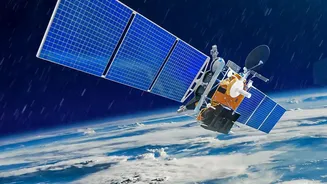
A New Eye in the Sky
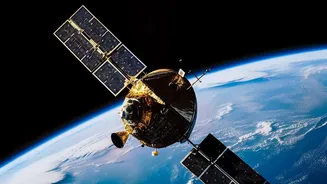
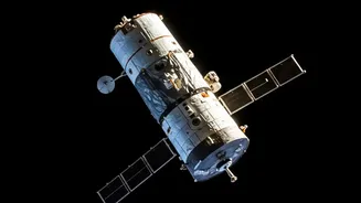
In early July 2026, a SpaceX rocket launched the first three operational FireSat satellites into orbit, marking a pivotal moment in the fight against wildfires. This trio joins a prototype that has been testing the system since March 2025. The project
is the work of a global coalition led by the nonprofit Earth Fire Alliance, with technical partner Muon Space building and operating the satellites. Major funding has come from organisations like Google.org, the Bezos Earth Fund, and the Gordon and Betty Moore Foundation. The ultimate goal is to create a constellation of more than 50 satellites that can provide a continuous, near real-time watch over the entire planet for new fire outbreaks.
Seeing Heat, Not Just Smoke
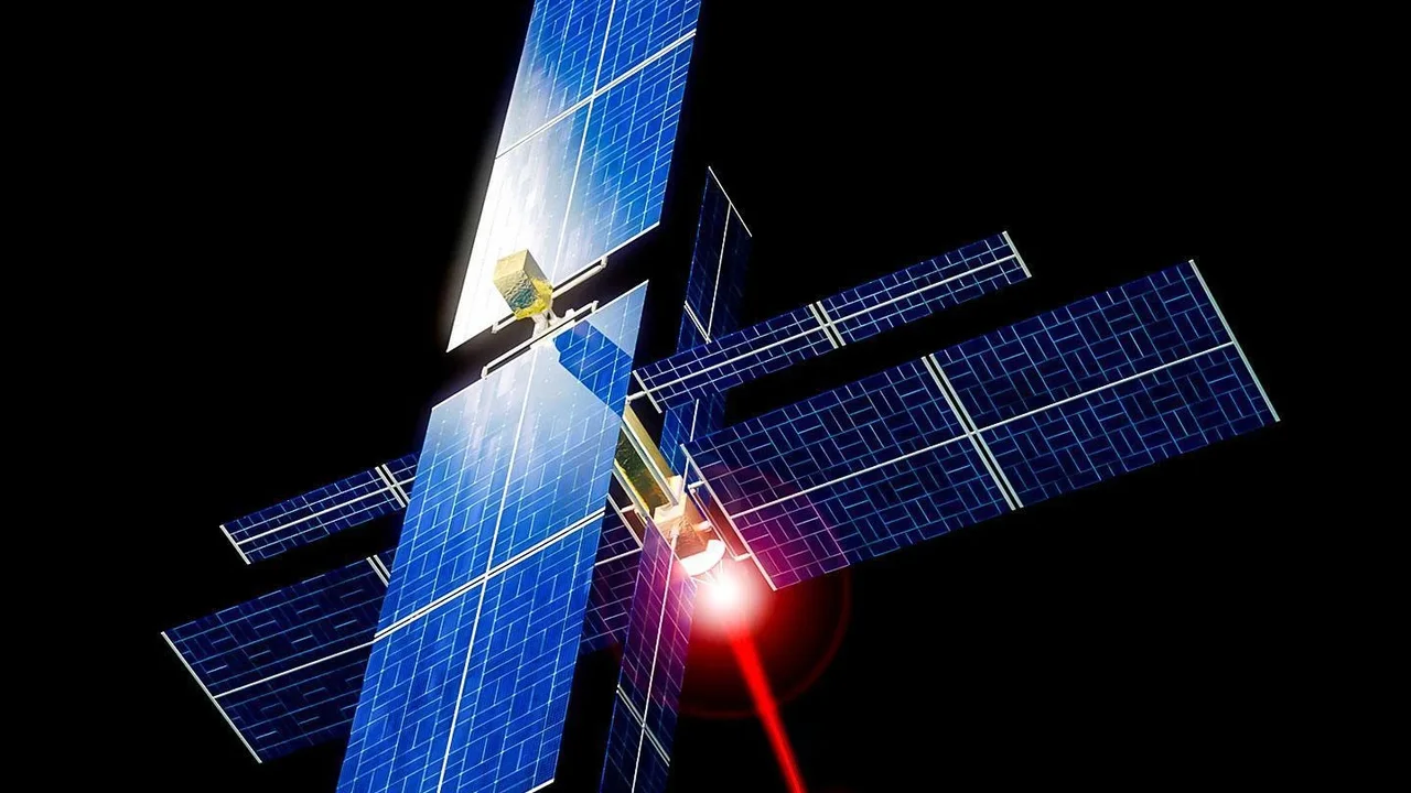
For decades, firefighters have relied on satellites designed for weather or other purposes, which meant data was often low-resolution or arrived too late. These systems struggle to detect fires smaller than a soccer field. FireSat is different. It's the first satellite system purpose-built for wildfire detection. Its power lies in advanced multispectral infrared sensors that detect heat signatures rather than visible smoke. This allows the satellites to spot fires day or night and even through clouds or heavy smoke. Combined with artificial intelligence that compares new images with thousands of previous ones and considers factors like weather, the system can reliably identify new ignitions while keeping the false positive rate extremely low.
Faster and Smaller Than Ever Before
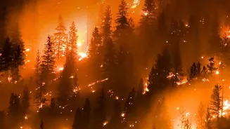
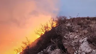
The key advantage of FireSat is its ability to spot very small fires very quickly. The system is designed to detect heat sources as small as 5x5 meters—about the size of a small room or a bonfire. This is a massive improvement over existing systems. The prototype satellite has already proven its capability by spotting small, cool-burning fires that were invisible to other satellites. When the full constellation is operational, it will be able to scan nearly the entire Earth's surface every 20 minutes. This speed is critical; detecting a fire in its first minutes, before it has a chance to grow into an uncontrollable megafire, can be the difference between a small incident and a major catastrophe.
From Orbit to the Front Lines
Getting the data is only half the battle; it also needs to reach firefighters on the ground in time to act. The FireSat system is designed to send alerts directly to emergency responders, providing a continuously updated picture of a fire's perimeter and progression. This near real-time information allows for safer and more efficient deployment of resources. Following the July 2026 launch, the first three operational satellites are undergoing a calibration phase. After about three months of testing, data will begin flowing to early partners, including fire agencies in California, Oregon, Australia, and Brazil. As more satellites are added, the time between observations will shrink, with the goal of achieving hourly revisits by 2029.
The Potential Impact for India
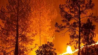
While much of the initial testing is focused on North America and Australia, the global nature of the FireSat constellation holds immense promise for India. The country faces significant annual challenges with forest fires, particularly in states like Uttarakhand and Himachal Pradesh. Current satellite-based alerts from the Forest Survey of India rely on passes that occur about six times a day. A system like FireSat, with its eventual 20-minute revisit time and ability to detect much smaller initial fires, could be a transformative tool. Integrating this level of high-frequency, high-resolution data with existing AI-driven models for wildfire management in the Indian context could dramatically improve early warning systems, enabling authorities to extinguish fires before they endanger communities and forests.