




What Is This New Lunar GPS?
Instead of one single device, NASA is developing a suite of technologies to create a navigation network on and around the Moon. One key piece of this puzzle is the Lunar Node-1 (LN-1), a radio beacon that flew on a recent commercial lunar lander. Think
of it as a lighthouse on the lunar shore, providing a fixed reference point. Another vital component is a new generation of advanced receivers, like the NavCube3-mini. These compact devices are designed to do something incredible: pick up signals from Earth's existing Global Navigation Satellite Systems (GNSS), like GPS and Galileo, from all the way at the Moon. For the first time, this allows for real-time position, navigation, and timing data without relying on the Deep Space Network on Earth.
From Constant Contact to Lunar Autonomy
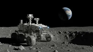
Traditionally, a rover on the Moon or a spacecraft in lunar orbit would be tracked by giant radio antennas on Earth. Mission controllers would send course corrections and positioning data across a quarter-million miles of space. This method is reliable but slow and resource-intensive, creating a communications bottleneck as more missions head to the Moon. The new approach flips this model on its head. By having navigation beacons on the surface and receivers that can use Earth's GNSS signals, spacecraft and rovers can figure out where they are on their own. This autonomy is critical, especially in emergencies or when immediate decisions are needed, as it removes the delay and reliance on constant contact with Earth.
How It Works: Navigating by Earthlight
The satellites that make up GPS and other navigation systems are designed to broadcast their signals down towards Earth's surface. So how can a receiver on the Moon use them? While most of the signal is directed at Earth, a significant amount radiates out into space from the sides of the satellites' broadcast cones. NASA has developed highly sensitive receivers, like the Lunar GNSS Receiver Experiment (LuGRE) and NavCube3-mini, that can detect these faint, 'spill-over' signals. By capturing signals from multiple GNSS satellites, these receivers can calculate their position with surprising accuracy. This is complemented by surface beacons like LN-1, which will create a local network, allowing assets to navigate relative to each other, forming the backbone of a system called LunaNet.
Why This Is a Game-Changer for Artemis
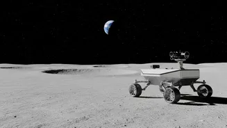
The goal of NASA's Artemis program isn't just to visit the Moon, but to establish a sustained human presence, including a future lunar base. To do that safely and efficiently, you need infrastructure. An autonomous navigation network is as fundamental as power and communication. It allows rovers to transport cargo between a landing site and a habitat without an astronaut driving every inch of the way. It enables astronauts on foot to know their precise location, enhances safety during landings in treacherous terrain like the lunar South Pole, and allows multiple missions—both government and commercial—to operate simultaneously without overwhelming Earth-based support systems. This technology is a key enabler for building a true lunar economy.
The Road Ahead: Testing and Deployment
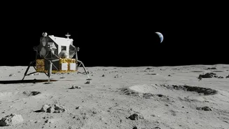
These systems are already being tested. The LN-1 payload successfully transmitted data during the Intuitive Machines IM-1 mission in early 2024, demonstrating the concept from the lunar surface. More recently, in July 2026, the advanced NavCube3-mini receiver was delivered for integration onto a commercial lunar relay satellite, set to create a communications and navigation hub in lunar orbit. Other related technologies, like the Navigation Doppler Lidar which helps with precision landing, also proved successful on the 2024 mission and are slated for future flights. Each test and deployment is another building block in creating a robust, independent navigation network that will support the next generation of lunar explorers.