






Why Rains in Nepal Are a Threat to India
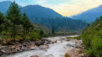
The geography of the Himalayan region means that events in Nepal have a direct and often rapid impact on India. Major rivers like the Gandak (known as Narayani in Nepal), Kosi, and Ghaghara originate in the high mountains of Nepal and Tibet before flowing
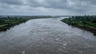
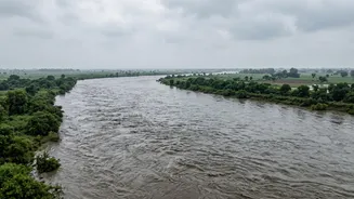
south into the plains of Bihar and Uttar Pradesh. A catastrophic event on August 26, 2026, near the Nepal-Tibet border, involving a suspected glacial lake outburst flood (GLOF) or a massive landslide, sent a tremendous surge of water down the Bhotekoshi and Trishuli river systems. This water travels downstream, feeding into the Gandak river and posing a significant flood threat to Indian districts located along its path.
National Teams on High Alert
The National Disaster Response Force (NDRF) has been put on high alert to tackle the potential downstream impact. In total, 20 NDRF teams have been deployed across vulnerable areas of Bihar and Uttar Pradesh. Specifically, 11 teams are in place for flood warning and response in Uttar Pradesh, with nine teams deployed in Bihar. The NDRF has strategically positioned teams in districts most likely to be affected, such as West Champaran and Muzaffarpur in Bihar and Kushinagar in Uttar Pradesh, which lie in the Gandak river basin. Furthermore, four additional NDRF teams have been placed on standby for possible rapid deployment to Nepal itself, should a formal request for assistance be made.
How Bihar and UP Are Preparing
State governments in Bihar and Uttar Pradesh are coordinating a massive preparedness effort. In Bihar, a high alert has been sounded in at least six districts along the Gandak river system, including West Champaran, East Champaran, Gopalganj, Muzaffarpur, Saran, and Vaishali. As a precautionary measure, all 36 gates of the Gandak barrage at Valmikinagar were opened to manage the expected surge of water. In Uttar Pradesh, Chief Minister Yogi Adityanath has directed administrations in the border districts of Maharajganj, Kushinagar, and Deoria to intensify vigilance and complete all necessary preparations. Authorities in both states are focused on monitoring river levels, identifying vulnerable low-lying villages, arranging for boats, and setting up potential evacuation centers and relief supplies.
The Situation on the Ground
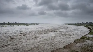
While the initial threat was severe, the immediate crisis in India appeared to be easing by August 27. The water discharge from the Gandak barrage, which had peaked at 1.50 lakh cusecs, began to recede, bringing some relief. An NDRF official confirmed that as of Thursday, there had been no adverse flood impact reported in Indian border territories, though continuous monitoring remains in place. However, the situation remains fluid. Three bodies, believed to have been swept downstream from Nepal, were recovered from the Gandak river in Maharajganj, highlighting the grim reality of the disaster upstream. Officials continue to urge residents in low-lying areas to remain cautious and heed official advisories.
A Recurring Cross-Border Challenge
This event underscores the perennial challenge of managing transboundary rivers shared between India and Nepal. The annual monsoon floods are a known phenomenon, but catastrophic events like the recent one highlight the increasing risks associated with climate change and melting glaciers in the Himalayas. Experts and officials have pointed to the need for more robust, real-time data sharing and a joint flood management plan between the two nations. Moving from simple flood warnings to basin-wide impact forecasting is seen as a crucial next step to protect lives and infrastructure on both sides of the border from these powerful and unpredictable natural events.