



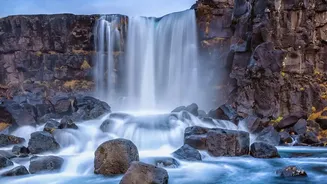
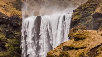
The Allure of the Unseen Iceland
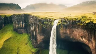
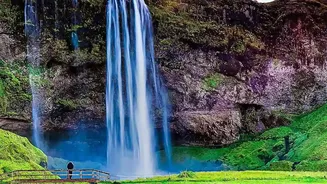
Iceland’s main attractions, like the Golden Circle and the South Coast’s famous waterfalls, are popular for a reason. They are stunning and relatively accessible. Yet, for many travelers, the real magic lies in finding a slice of Iceland that feels undiscovered.
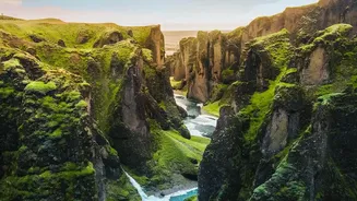
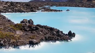
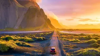
This could be a remote hot spring, a deserted black sand beach, or a dramatic canyon not swarmed by tour buses. However, the assumption that 'lesser-known' means 'easy to visit' is a dangerous one. In Iceland, nature is the great equalizer. An unpaved road to a remote fjord is subject to the same, if not more, ferocious winds, snow, and ice that can shut down the main Ring Road.
The Highland Barrier
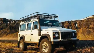
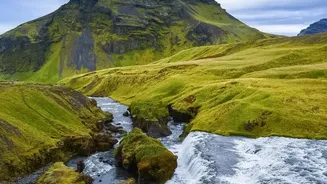
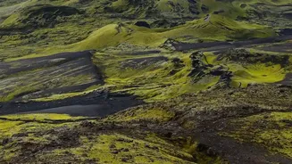
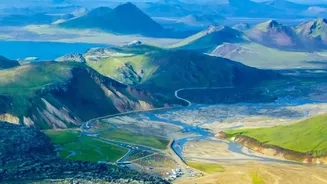
The interior of Iceland, known as the Highlands, is a vast, volcanic desert of breathtaking beauty and home to many of the country's most spectacular, lesser-known sites. Access is restricted to a network of rough mountain tracks called F-roads. These roads are not just unpaved; they are often deeply rutted and can involve crossing unbridged rivers. F-roads are legally only open to 4x4 vehicles and are closed for most of the year, typically from September until mid-June or even early July, depending on snowmelt and road conditions. Attempting to access these areas outside of their short summer window is not just impossible; it's illegal and perilous. Even during summer, conditions can change rapidly, and a heavy rainfall can make a river impassable, stranding travelers.
The Westfjords and Eastfjords: A Lesson in Isolation
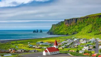
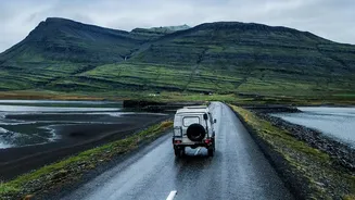
The Westfjords and Eastfjords are two of the most remote and rewarding regions, characterized by dramatic fjords and tiny fishing villages. While parts are accessible via the main road network, many gems are tucked away on gravel roads that snake over high mountain passes. In winter, which can last from October to April, these passes are frequently closed due to heavy snowfall and avalanche risk. This can isolate towns for days at a time. Travelers hoping to explore these regions off-season must build extreme flexibility into their itineraries. A journey that looks like a few hours on a map can become a multi-day wait for a road to reopen. Even in summer, strong winds can make driving on coastal roads challenging.
Your Essential Weather Planning Toolkit
Successful and safe travel in Iceland, especially to its more remote corners, relies on diligent daily planning. Your two most important resources will be the official websites for weather and road conditions. Vedur.is is the Icelandic Meteorological Office, providing detailed forecasts for wind, precipitation, and temperature across the entire country. Road.is (run by the Icelandic Road and Coastal Administration) offers a real-time, color-coded map of road conditions, showing which roads are open (green), have difficult conditions (yellow/orange), or are closed (red). Another critical resource is SafeTravel.is, which provides official alerts and safety advice from emergency services. Checking these three sources every morning before you set off is non-negotiable. A 10-day forecast is only a hint; the 24-hour forecast is what you should use to make decisions.
Right Vehicle, Right Mindset
Renting a 4x4 vehicle provides more flexibility and safety, especially in winter or if you plan to travel on any gravel roads, but it is not a magic shield against Iceland's weather. High winds can be dangerous for any vehicle, and road closures apply to everyone. The most crucial tool is a flexible mindset. Be prepared to change your plans. If a storm is rolling in, don't risk driving to a remote location. Instead, embrace the local culture and do as Icelanders do: wait it out, perhaps at a local swimming pool. Sometimes the smartest travel decision is knowing when not to travel at all. The hidden gem will still be there when the weather clears.