





Our Million-Mile-High Sentry
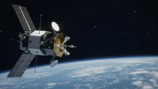
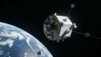
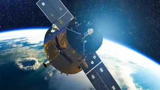
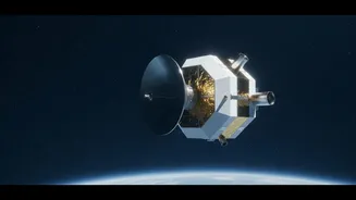
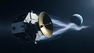
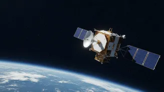
Meet the Interstellar Mapping and Acceleration Probe, or IMAP. Launched by NASA in late 2025, this advanced spacecraft is now stationed at a unique spot in space about 1.6 million kilometers from Earth, directly in the direction of the Sun. This location,
known as Lagrange Point 1 (L1), is the perfect lookout post. It allows IMAP to constantly 'feel' the solar wind—a relentless stream of particles flowing from the Sun—before it reaches our planet. The primary mission of IMAP is to study the vast magnetic bubble that envelops our solar system, called the heliosphere. However, a critical secondary function is to serve as an advanced early-warning system for dangerous space weather.
The High Cost of Solar Storms
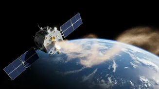
Space weather isn't just a curiosity for scientists; it has real-world consequences. When the Sun releases a powerful burst of energy, known as a coronal mass ejection (CME), it sends a tsunami of charged particles hurtling through space. If aimed at Earth, these storms can disrupt our planet's magnetic field, an event called a geomagnetic storm. The effects can be catastrophic for our technology-dependent society. Geomagnetic storms can damage or disable critical satellites that we rely on for GPS navigation, telecommunications, and financial transactions. They can also induce powerful electrical currents in ground-based power grids, potentially causing widespread blackouts. For a rapidly growing digital economy like India's, with its own satellite navigation system (NavIC) and expanding infrastructure, the threat is particularly significant.
The 'Near-Real-Time' Game Changer
Previous missions at the L1 point also provided space weather data, but IMAP represents a major leap forward. The key is its ability to broadcast crucial data in near-real-time through a system called I-ALiRT (IMAP Active Link for Real-Time). While older systems had delays, IMAP's suite of ten advanced instruments measures the properties of the incoming solar wind and immediately sends a portion of that data speeding back to Earth. This low-latency stream gives space weather forecasters a vital heads-up, providing approximately 30 minutes of warning before the most harmful radiation arrives. This might not sound like much, but it's enough time for power grid operators to take protective measures, satellite controllers to put their spacecraft into safe mode, and airlines to reroute flights away from polar regions where radiation levels can become hazardous.
Better Data for Better Forecasts
It's not just about speed; it's also about quality. The I-ALiRT system provides data at a higher frequency and includes new information that wasn't available from older missions in real-time. This includes more detailed measurements of high-energy particles that pose the greatest risk to astronauts and satellite electronics. By feeding this richer, faster data into their forecasting models, agencies like the U.S. National Oceanic and Atmospheric Administration (NOAA) can issue more accurate and timely warnings. For India, which is aiming to develop its own state-of-the-art prediction models, data from missions like IMAP is invaluable for improving national resilience against solar tantrums and ensuring the safety of its growing space assets and critical infrastructure.