



First, What Is El Niño?
El Niño is one phase of a recurring natural climate pattern called the El Niño-Southern Oscillation (ENSO). It's characterized by the unusual warming of surface waters in the central and eastern tropical Pacific Ocean. This isn't just a local event; by releasing
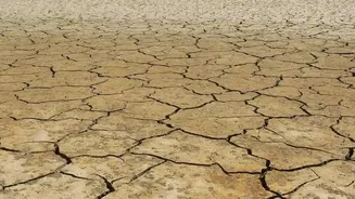
enormous amounts of heat from the ocean into the atmosphere, El Niño can alter weather patterns across the globe. For India, El Niño has historically been linked with weaker monsoon rainfall. Roughly half of all El Niño years have resulted in drought conditions, with a significant majority seeing below-normal rainfall. It's part of a cycle that also includes a cooler phase, La Niña, and neutral conditions.
The Link Between Heat and the Pacific
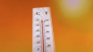
The core of the scientific question lies in the relationship between human-induced global warming and this natural cycle. The world's oceans have absorbed over 90% of the excess energy trapped by greenhouse gases. This means El Niño events are now occurring in a world that is already unnaturally warm. Think of the ocean as the fuel tank and El Niño as the engine. A hotter ocean provides more fuel, potentially allowing the engine to run harder and faster. This extra heat can intensify some of El Niño’s typical impacts, like contributing to record-breaking temperatures and increasing the chances of heavy rainfall or, conversely, worsening droughts.
Stronger, Longer, or More Frequent?
When scientists talk about El Niño's 'behaviour' changing, they are asking several key questions. Are these events becoming stronger? More frequent? Are their patterns becoming more erratic and less predictable? The scientific community is actively debating these points. Some recent studies and models suggest that climate change is indeed favouring the occurrence of more 'super' El Niños. One 2024 study noted that deep-ocean warming alone could make extreme El Niños significantly more common. However, other research highlights that climate models can have biases, and some suggest the frequency of these events might remain unchanged, even as their impacts are amplified by the background warmth. There is a growing consensus, however, that global warming can supercharge an El Niño event when it does arrive.
What the Current Science Suggests
The evidence is mounting that even if the frequency isn't changing, the character of El Niño is. The ongoing El Niño, which began developing in 2026, is already being described as exceptionally strong, with forecasters noting a high probability it will persist through the winter of 2026-2027. Sea surface temperatures in the central Pacific have been observed at well above normal levels. The key takeaway from recent research is that human-caused warming provides a new, super-heated baseline. So, when a natural event like El Niño occurs, it's layered on top of an already warmer planet, increasing the likelihood of breaking temperature records and triggering more extreme weather.
Why This Matters for India
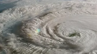
The implications for India are profound and complex. A powerful El Niño can disrupt the monsoon, but its effects are no longer as straightforward as just drought. The record warmth of the Indian Ocean itself is adding another layer of complexity, potentially amplifying heat stress and creating conditions for extreme rainfall events even within a weaker monsoon season. This can lead to uneven rainfall, stressing both farmers and water reserves. Scientists have also warned of warmer winter conditions and impacts on the cyclone season. Furthermore, the changes can affect marine ecosystems, with weaker winds reducing the upwelling of nutrient-rich waters in the Arabian Sea, which in turn impacts fish populations and the livelihoods that depend on them. One recent report projected that the current 'Super El Niño' could be linked to thousands of additional heat-related deaths in India.