





What Happened in Nepal?
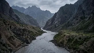
On August 26, 2026, a catastrophic flood, a destructive slurry of water, mud, and rock, thundered down the Trishuli river system in central Nepal. The event was likely triggered by a massive glacial collapse in the Langtang region, an event so powerful
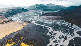
it registered as a magnitude 5.2 seismic event. The deluge swept away entire settlements, destroyed dozens of bridges, obliterated crucial roads connecting to China, and severely damaged multiple hydropower projects. The human toll has been immense, with hundreds confirmed dead and many more missing as of late August. This wasn't a simple monsoon flood; it was a complex, cascading disaster that began high in the mountains and delivered devastation far downstream.
A Familiar and Frightening Pattern
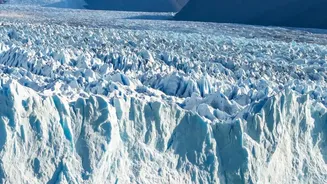
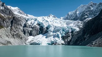
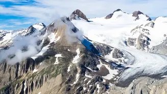
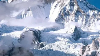
Scientists are pointing to a confluence of factors that created this 'perfect storm'. A warming climate is making the Himalayan cryosphere—the frozen parts of the region—dangerously unstable. Glaciers are melting at an accelerated rate, and permafrost, the frozen ground that acts like mountain cement, is thawing and weakening slopes. This increases the risk of events like the one in Nepal: a huge mass of ice and rock breaking free, an event known as a glacial lake outburst flood (GLOF) or a similar debris flow. When this is combined with intense monsoon rainfall, already water-logged soil, and steep, unstable terrain, the potential for disaster multiplies.
India's Himalayan Mirror Image
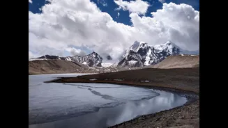
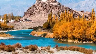
The geography, geology, and climate of Nepal's disaster zone are almost identical to those in Indian states like Uttarakhand, Himachal Pradesh, Sikkim, and Ladakh. India has already witnessed several chilling previews. The 2021 Rishi Ganga disaster in Uttarakhand, the 2023 South Lhonak Lake outburst in Sikkim that destroyed the Chungthang dam, and the recurring landslides and floods in Himachal Pradesh all stem from the same root causes. Experts have explicitly stated that the disaster in Nepal should serve as a turning point for India, highlighting that the Himalayan ecosystem does not respect international borders. The same unstable glaciers, expanding glacial lakes, and vulnerable slopes exist on the Indian side, making a similar catastrophe not a matter of 'if', but 'when'.
Building on Unstable Ground
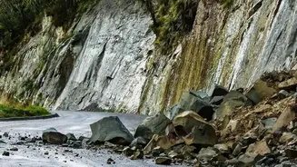
Natural fragility is being dangerously amplified by human activity. Rampant and often unregulated construction of roads, hydropower dams, and townships has put immense pressure on the delicate mountain ecosystem. Projects like the Char Dham highway widening have involved cutting slopes at dangerously steep angles, leading to increased landslides. Hydropower projects, while crucial for energy, concentrate risk in vulnerable river valleys. In many cases, expert warnings about building on unstable ground have been ignored for decades. This unchecked development not only destabilises the terrain but also places more people and critical infrastructure directly in the path of potential disasters.
Heeding the Final Warning
The disaster in Nepal must be treated as the urgent wake-up call it is. Experts argue for a fundamental shift from reactive disaster response to proactive risk reduction. This includes establishing robust, cross-border early warning systems for GLOFs that don't just rely on river gauges, which can be wiped out in the initial surge. It means rigorously enforcing environmental regulations and conducting thorough ecological and climate risk assessments before approving any new infrastructure projects. A national mission focused on monitoring the Himalayan cryosphere is needed, using everything from satellite imagery to on-the-ground community reports. Ultimately, development in the Himalayas must be reconciled with the region's inherent fragility, respecting the mountains' limits rather than trying to conquer them.