


The Golden Hour of Wildfire Response
In firefighting, the first hour is everything. A small ignition, if caught early, can often be contained. But once it grows, fuelled by wind and dry terrain, it becomes exponentially harder to control. For decades, detection has relied on a patchwork
of methods: public 911 calls, watchtowers, and aerial patrols. More recently, existing satellites have been used, but they were never designed specifically for this task. They might capture images of a location only a few times a day, with resolutions too low to spot a small fire. This can lead to critical delays, where a fire can rage for hours before it is even noticed. This time lag is often the difference between a minor incident and a full-blown catastrophe that consumes homes, ecosystems, and threatens lives. The challenge has always been to see a fire not just when it's already a problem, but at the moment it begins.
An Eye in the Sky Built for Fire
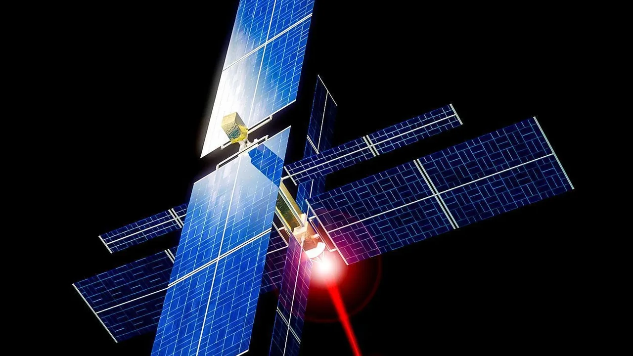
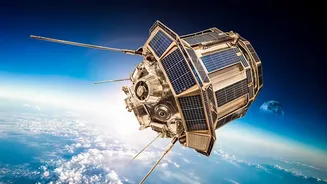
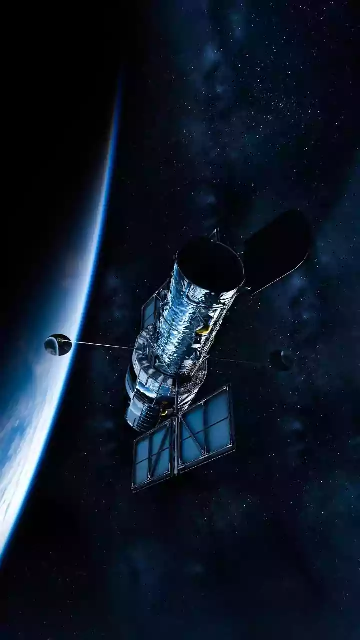
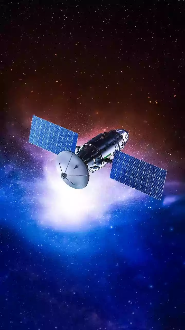
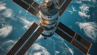
Enter FireSat, a satellite constellation designed with a single purpose: to detect and monitor wildfires across the globe. Developed by space systems company Muon Space on behalf of the nonprofit Earth Fire Alliance, and with partners like Google, FireSat represents a major leap forward. Unlike repurposed weather or earth-observation satellites, FireSat's sensors are tuned specifically to find fires. The system uses high-resolution multispectral infrared imagery to detect heat signatures. When the full constellation of over 50 satellites is operational in the coming years, it will be able to spot a fire as small as 5x5 meters—about the size of a large room—anywhere on Earth. This is a dramatic improvement over existing systems that could easily miss fires smaller than a soccer field. The project launched its first prototype in March 2025 and followed up with the first three operational satellites in the summer of 2026, marking the beginning of this new era in fire intelligence.
From Heat Signature to Actionable Alert
FireSat's true power lies not just in detection, but in its speed and intelligence. Once a satellite passes over an area, its onboard sensors look for hotspots. This data is then processed using artificial intelligence. The AI doesn't just see heat; it analyzes it in context. It compares the new image with thousands of previous images of the same spot, considers local weather conditions, and learns to distinguish a nascent wildfire from other heat sources like a solar panel or a hot spring, keeping the false positive rate below 5%. Once a fire is confirmed, an alert can be sent directly to first responders on the ground. When the constellation is fully deployed, this entire process—from detection to alert—will happen with data refreshes as frequently as every 20 minutes. This near real-time information is a game-changer, replacing hours of delay with minutes of warning.
More Than Just an Alarm Bell
The data provided by FireSat goes beyond a simple ignition alert. The system is designed to provide what experts call situational awareness. It can generate continuously updated maps of a fire's perimeter, showing responders exactly where the blaze is and where it is moving. By measuring the fire's radiative power, it can also gauge its intensity and rate of spread. This information is critical for incident commanders to make safer, more effective decisions about where to deploy resources, plan evacuation routes, and establish containment lines. For nations like India, which face significant annual forest fire challenges in states like Uttarakhand, Himachal Pradesh, and Odisha, such detailed intelligence could prove invaluable in protecting vulnerable communities and vast tracts of forest land. The data will also be made available to scientists to better understand fire behaviour and improve predictive models for the future.
The Path to a Safer Future
While the technology is promising, building a global, near real-time fire detection system is a marathon, not a sprint. The first three operational satellites launched in summer 2026 are just the beginning. The plan is to have a constellation of over 20 satellites by 2029, which would provide revisit times of about one hour, with the full fleet of over 50 satellites achieving the 20-minute goal in the following years. This phased rollout allows early adopters in the world's most fire-prone regions to begin integrating the data into their operations. FireSat isn't a silver bullet that will end wildfires. But it is a powerful new tool in the global fight against them. By shrinking the time between ignition and response, it gives firefighters a fighting chance to keep small fires from becoming devastating events.