


The Challenge with Visible Light
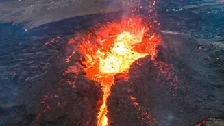
To the human eye, and in standard satellite photos that capture visible light, distinguishing a cloud of volcanic ash from a harmless water or ice cloud can be nearly impossible. Both can appear as white or grey smudges drifting across the landscape.
This is a critical problem, as volcanic ash is not like smoke; it is made of tiny, sharp particles of rock and glass. These particles can sandblast aircraft exteriors, block critical sensors, and, most dangerously, melt in the heat of a jet engine, solidifying into a glassy coating that can cause the engine to fail. This makes the accurate and rapid detection of ash plumes a non-negotiable requirement for aviation safety. Relying on visible imagery alone is not an option, especially since it is useless at night, which is why scientists turn to parts of the light spectrum that we cannot see.
Seeing Heat with Infrared
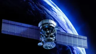
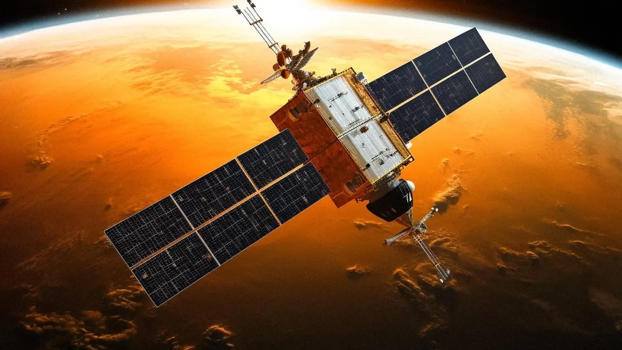
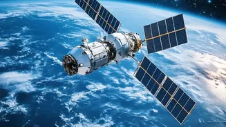
The primary and most powerful tool for this task is infrared (IR) remote sensing. Everything on Earth radiates heat, and satellites equipped with IR sensors can measure this thermal energy. The key insight is that volcanic ash and water clouds behave differently in the infrared spectrum. A technique known as the 'split-window' method is fundamental. It compares the brightness temperatures recorded in two different thermal infrared channels, typically around 11 and 12 micrometres (μm). Water and ice particles in meteorological clouds tend to absorb more radiation at the 12 μm wavelength than at 11 μm. For silicate particles like volcanic ash, the opposite is true. When scientists subtract the temperature reading of the 12 μm channel from the 11 μm channel, a normal cloud gives a positive value, while a volcanic ash cloud typically produces a negative value. This difference provides a clear, reliable signal that ash is present, even when it is mixed with or obscured by other clouds.
Reading Unique Spectral Fingerprints
Beyond the basic split-window technique, scientists use hyperspectral sensors that can observe dozens or even hundreds of different narrow wavelengths. Every material, including volcanic ash, water, ice, and even different types of gas like sulfur dioxide (SO₂), absorbs and reflects energy in a unique way across these many channels. This creates a 'spectral signature', a unique fingerprint that algorithms can be trained to recognise. Modern satellites from agencies like NASA and the European Space Agency carry advanced instruments that can read these signatures with incredible precision. By analysing the full spectrum of light coming from a plume, scientists can not only confirm the presence of ash but also estimate its concentration, the size of the particles, and the altitude of the cloud. Some algorithms can even use this data to differentiate between ash from different volcanoes based on its chemical composition.
Looking for Telltale Gases
Volcanic eruptions do not just spew ash; they also release massive amounts of gases, with sulfur dioxide (SO₂) being a primary component. This gas is not typically present in large quantities in regular weather systems. Satellite sensors, particularly those that operate in the ultraviolet (UV) part of the spectrum, are excellent at detecting SO₂. When a satellite detects a high concentration of SO₂ and the infrared data shows the telltale signature of ash, it provides a powerful two-factor confirmation that they are looking at a volcanic plume. This multi-sensor approach, combining UV, infrared, and visible data, creates a much more robust and error-free detection system. Instruments on satellites like the Copernicus Sentinel-5P are specifically designed for this atmospheric monitoring.
From Data to Actionable Warnings
Detecting the ash is only the first step. This stream of data from multiple satellites is fed in near real-time to a global network of nine Volcanic Ash Advisory Centers (VAACs), including facilities run by NOAA in Washington and Anchorage. Highly trained analysts at these centres interpret the satellite data, combine it with ground reports and pilot observations, and run dispersion models to predict where the ash cloud will travel. Based on this synthesis of information, they issue Volcanic Ash Advisories (VAAs)—detailed warnings and graphics that are sent to air traffic control centres and airlines around the world. These advisories allow flight planners to safely route aircraft around the hazardous airspace, preventing potentially catastrophic encounters with these invisible dangers high in the atmosphere.