


The Problem of Being on Time
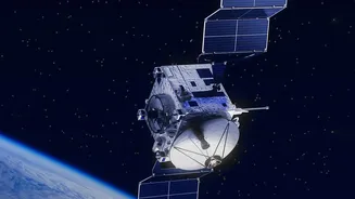
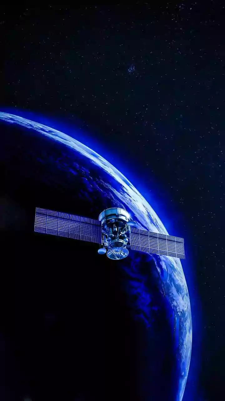
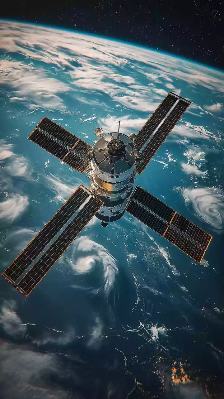
One of the biggest hurdles in using satellites is their timing. Most Earth-observing satellites are in polar orbits, meaning they circle the globe from pole to pole. They can't just hover over a volcano waiting for it to erupt. The time it takes for a satellite to pass
over the same spot again is called its 'revisit time', and it can range from daily to every few days. For a slow-moving scientific event, this is fine. But a fast-moving lava flow can travel several kilometres in a single day. By the time the satellite gets its next snapshot, the flow front could be threatening a new area entirely, making the previous day's data dangerously out of date.
An Eye That Can't See Through Clouds
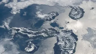
The most intuitive way to 'see' from space is with optical satellites, which are essentially powerful digital cameras. They capture images in visible light, just like our eyes. The problem? They are just as useless as our eyes in bad weather. Volcanic eruptions often generate their own weather, including thick plumes of ash and steam that obscure the ground below. Add in normal atmospheric clouds, and it becomes impossible for an optical satellite to get a clear view of the lava flow at the most critical moments. Scientists can't act on what they can't see, and waiting for the skies to clear is not an option during an emergency.
Seeing Heat, But Not Always Clearly
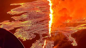
To get around the limitations of darkness and some atmospheric haze, scientists rely heavily on thermal infrared sensors. These instruments don't see light; they detect heat. Active lava flows, with temperatures ranging from 700 to 1,200 degrees Celsius, glow brightly in thermal imagery, even at night. This allows volcanologists to map active breakouts and estimate eruption rates. However, these sensors still can't penetrate thick clouds or dense ash plumes. Furthermore, there's often a trade-off: satellites that provide frequent thermal data might have very low spatial resolution, where a single pixel covers a square kilometre, making it hard to track the precise path of a narrow lava flow.
Radar: The All-Weather Workhorse
When clouds and ash make a volcano invisible to optical and thermal sensors, scientists turn to Synthetic Aperture Radar (SAR). Radar satellites send their own microwave pulses down to the surface and measure the return signal, allowing them to 'see' through clouds and darkness. This is a game-changer for monitoring in all weather conditions. SAR is excellent at detecting changes in the ground's surface, like the inflation of a volcano before an eruption or the texture of a new lava deposit. But it has its own limits. While SAR can map the extent of a new flow, it can be difficult to distinguish between hot, moving lava and recently cooled, stationary rock in a single image. Interpreting flow direction and speed in real-time can be less direct than with a thermal image.
A Puzzle Solved on the Ground
Because of these limitations, satellite data is never used in a vacuum. It is one vital tool in a much larger toolbox. Scientists at volcano observatories combine satellite imagery with a flood of data from ground-based instruments. Seismometers detect earthquakes caused by moving magma, GPS stations measure ground deformation with millimetre precision, and sensors analyze gas emissions. This 'ground truth' information is integrated with satellite views to build a comprehensive picture of what the volcano is doing. Aerial surveys from helicopters or drones can also fill in crucial gaps, providing high-resolution imagery exactly when and where it's needed, bridging the divide between the view from space and the reality on the ground.