




A New Watchtower in the Sky
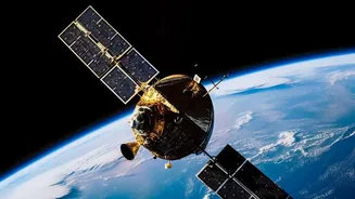
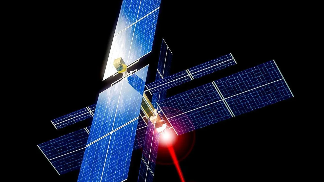
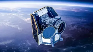
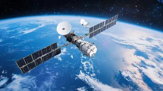
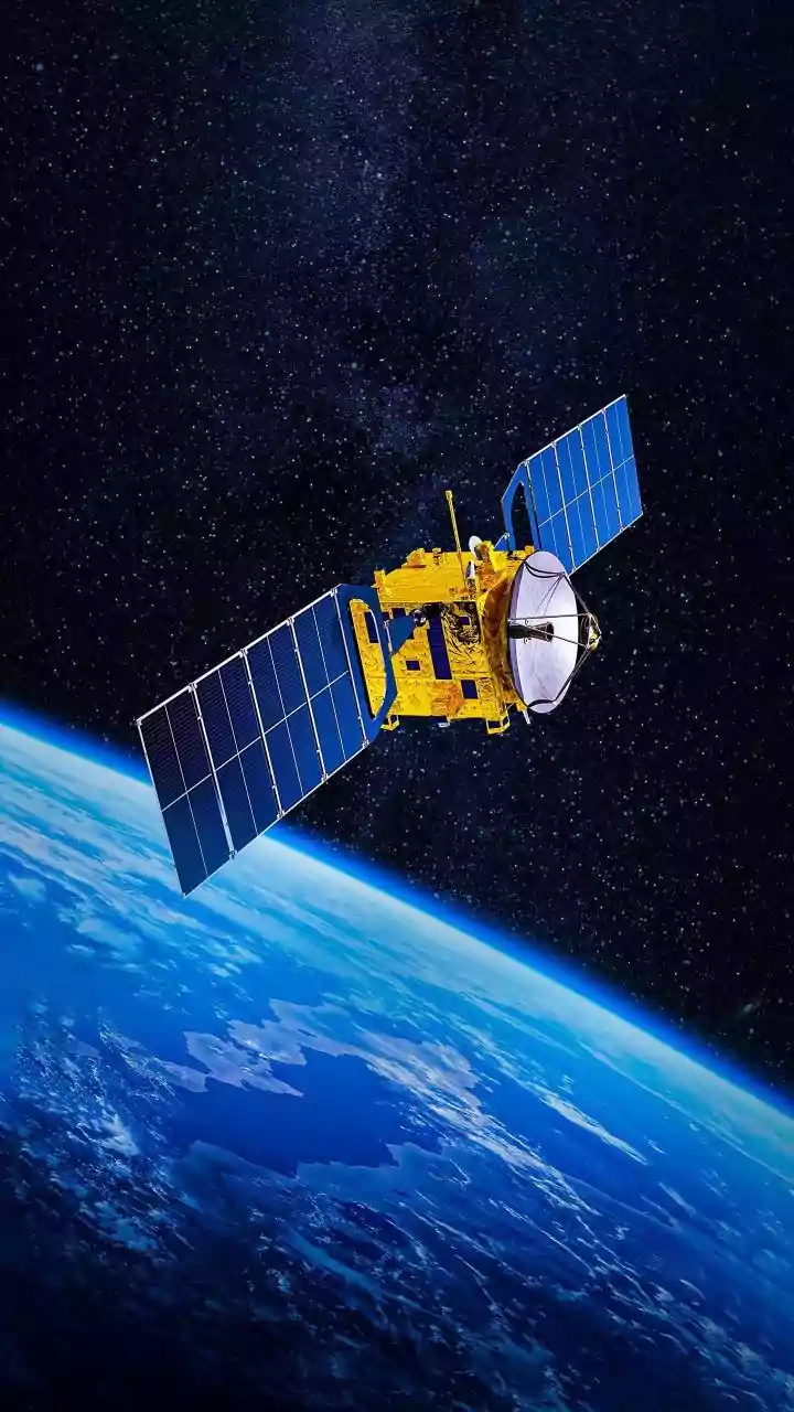
A groundbreaking initiative is deploying a network of satellites, collectively known as FireSat, designed for one specific purpose: to detect wildfires faster than ever before. This is not a single company's effort but a collaboration involving tech giants
like Google, the nonprofit Earth Fire Alliance, and the satellite manufacturer Muon Space. A prototype was launched in March 2025, successfully proving the concept by spotting small fires that existing systems missed. Following that success, the first three operational satellites were launched in the summer of 2026, marking the official beginning of this new era. The plan is to have a full constellation of over 50 satellites in orbit, providing a persistent eye on our planet’s most vulnerable regions.
How AI Spots a Spark from Space
The magic behind FireSat lies in combining advanced thermal imaging with powerful artificial intelligence. The satellites are equipped with high-resolution multispectral infrared cameras that constantly scan the Earth's surface for heat signatures. But a hot spot isn't always a fire; it could be a smokestack or a solar panel. This is where AI comes in. The system's algorithms are trained to analyze the data, compare it to thousands of previous images of the same location, and consider other factors to reliably determine if a heat source is a nascent wildfire. This allows FireSat to detect fires as small as 5x5 metres—roughly the size of a classroom—a significant improvement over older satellite technology that could only spot much larger blazes.
A Leap Beyond Current Methods
For decades, wildfire detection has relied on a mix of ground-based solutions like watchtowers and public reports, supplemented by general-purpose weather or Earth-observation satellites. These existing satellites often revisit the same spot only a few times a day and provide lower-resolution imagery, meaning a fire could grow substantially before it's ever seen from space. The current process can take hours. FireSat aims to slash that detection time dramatically. When the full constellation is operational, it will be able to scan nearly the entire planet and provide updates every 20 minutes or less. This near real-time capability gives firefighters a critical head start, transforming the response from reactive to proactive.
The Impact on the Ground
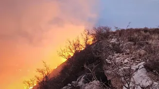
Faster detection directly translates into more effective firefighting. Getting alerts within minutes of ignition, instead of hours, can be the difference between a small, containable incident and a catastrophic megafire that devastates communities and ecosystems. By providing precise location data, tracking the fire's perimeter, and even measuring its intensity, FireSat gives incident commanders unprecedented situational awareness. This allows for safer and more efficient allocation of resources, better planning for evacuations, and ultimately, helps save lives, property, and vital natural habitats. The data will also create a global historical record of fire behaviour, helping scientists better understand and model fire patterns in a changing climate.
What This Means for India
India, too, faces significant challenges from forest fires, particularly in the Himalayan states like Uttarakhand and in regions like the Similipal Tiger Reserve. Currently, the country relies on data from foreign satellites, which have limitations in coverage frequency, sometimes leading to critical gaps in monitoring. In fact, a parliamentary panel recently highlighted this dependency and called for a dedicated Indian satellite for 24/7 monitoring. While India is advancing its own monitoring capabilities with satellites like the joint ISRO-NASA NISAR, the response on the ground can still be slow. The development of rapid-detection systems like FireSat offers a glimpse into a future where technology could provide Indian authorities with the crucial, early intelligence needed to manage forest fires before they rage out of control.