


A New Watchtower in Orbit
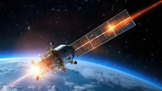
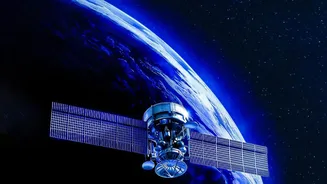
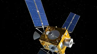
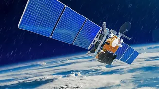
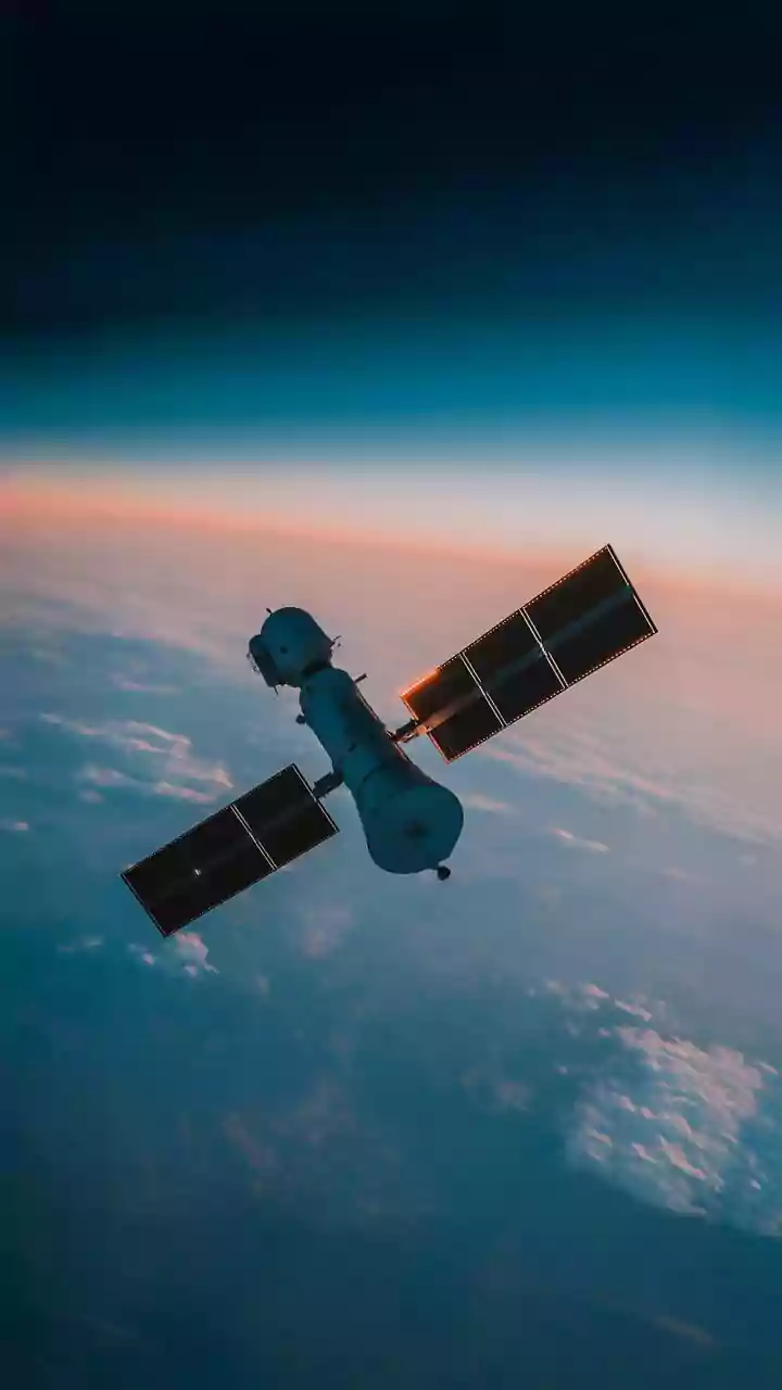
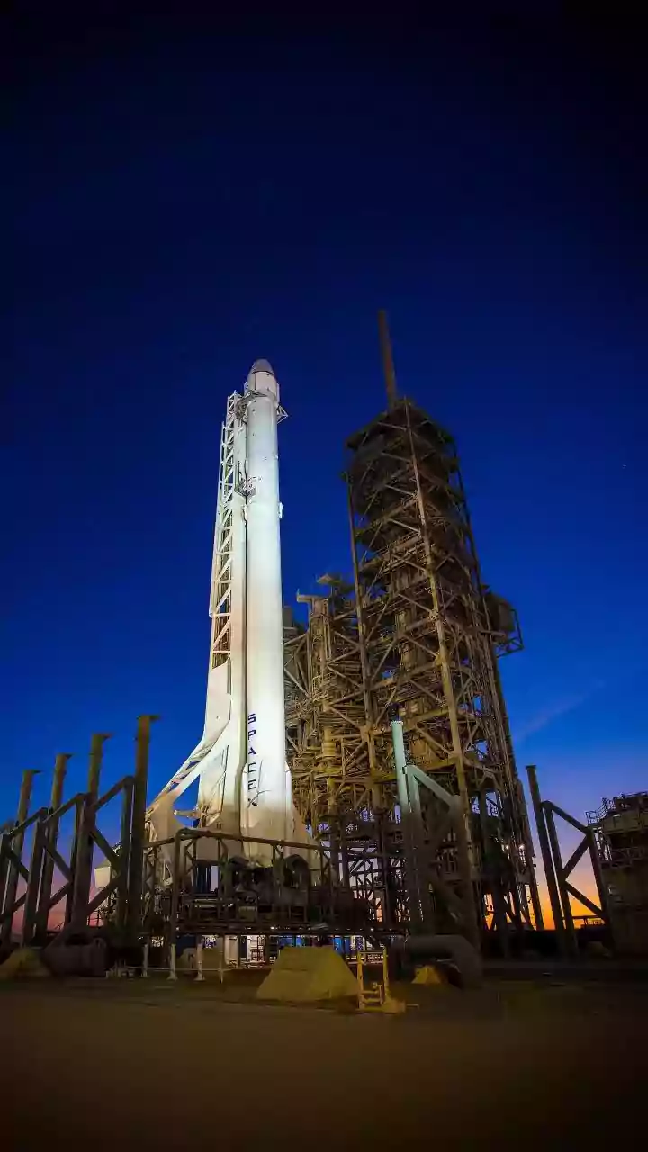
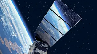
In the ongoing battle against wildfires, firefighters have a new ally hundreds of miles above Earth. In July 2026, a SpaceX rocket carried three new satellites into orbit, marking a significant step forward for the FireSat program. This initiative is not
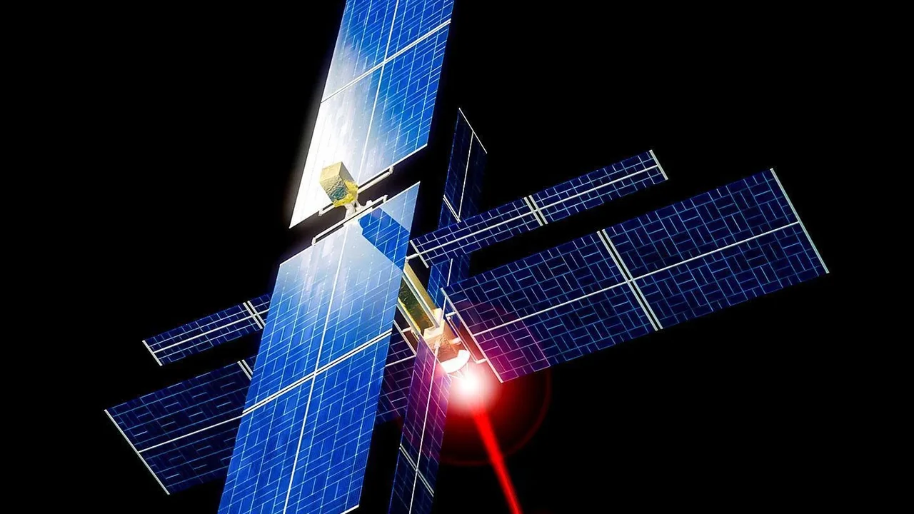
the work of a single government agency but a global collaboration led by the nonprofit Earth Fire Alliance, with crucial technical partnerships from satellite manufacturer Muon Space and Google Research. These aren't repurposed weather satellites; they are custom-built for a single, urgent purpose: to find fires faster than ever before. This trio of satellites joins a pathfinder that launched in 2025, and together they form the foundation of what is planned to be a constellation of more than 50 satellites dedicated to protecting the planet from devastating blazes.
Seeing What Others Miss
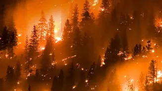
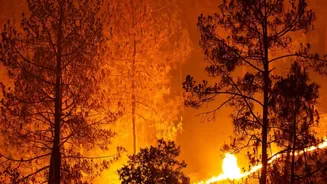
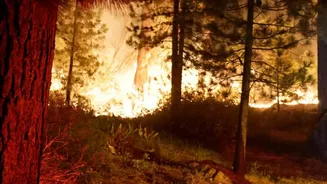
The key advantage of the FireSat system is its incredible precision. While existing satellite systems are vital, they were often designed for weather monitoring or broad-scale Earth observation. This means they can struggle to detect fires until they have grown to the size of a soccer field or larger. By then, a blaze may already be difficult to contain. The FireSat satellites, however, are equipped with advanced multispectral infrared sensors that can detect heat signatures from fires as small as 5-by-5 meters — roughly the size of a two-car garage. This ability to spot a tiny spark or a smoldering, low-intensity fire gives first responders a crucial advantage, allowing them to act when the threat is still small and manageable. The goal is to move from reacting to large-scale disasters to proactively extinguishing small fires before they escalate.
How AI Prevents False Alarms
Detecting a tiny heat spot from space is only half the battle. The real innovation lies in how FireSat uses artificial intelligence to make sense of the data. The system doesn't just see a hot spot; it analyzes it. AI algorithms compare the new image with thousands of previous images of the same location, taking into account factors like the time of day, weather conditions, and other potential sources of heat. This sophisticated analysis allows the system to distinguish a fledgling wildfire from, for example, a harmless reflection off a rooftop or a controlled agricultural burn. The result is a system with a very low false positive rate, ensuring that when an alert goes out, fire agencies can trust it and deploy resources confidently. This combination of sensitive hardware and intelligent software allows detection even through smoke or cloud cover.
From Orbit to the Fire Line
For firefighters on the ground, the most valuable commodity is time. The FireSat constellation is designed to deliver just that. Once the full network of over 50 satellites is operational, it will be able to scan nearly every point on Earth every 20 minutes. This rapid 'revisit rate' is a game-changer. Instead of getting updates a few times a day, incident commanders will receive a near-constant stream of information about where new fires are starting and how existing ones are spreading. After a testing and calibration period, the data from the three new satellites is expected to start flowing to fire agencies in the US, Australia, and Europe before the end of 2026. This information helps enable fire departments to achieve critical goals, such as Cal Fire's mission to suppress 95% of fires at 10 acres or less, which becomes much more achievable with early detection.