





A New Watchtower in Space
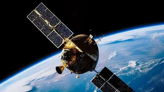
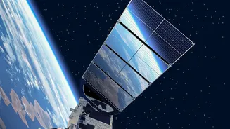
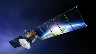
In July 2026, a rocket launched from California carrying three advanced satellites, marking a significant milestone for the FireSat program. This is not a project from a single government agency but a global collaboration led by the nonprofit Earth Fire Alliance
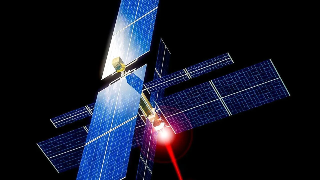
(EFA). The satellites themselves were designed and built by space systems company Muon Space, with technology giant Google providing crucial artificial intelligence expertise. This partnership brings together philanthropic funding, cutting-edge engineering, and powerful data analysis with a single goal: to build a system dedicated solely to spotting wildfires from their first spark. Unlike existing weather or Earth-observation satellites that perform many jobs, FireSat is purpose-built for fire detection, a specialization that gives it a crucial edge.
Seeing What Others Cannot
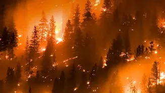
The key to FireSat’s power lies in what it can see. Current satellite systems often struggle to detect fires smaller than a soccer field, or they only pass over the same spot a few times a day. FireSat’s advanced multispectral infrared sensors are designed to change that. They are sensitive enough to detect heat signatures from fires as small as 5 by 5 metres — roughly the size of a large garden shed. This leap in sensitivity was proven by a prototype satellite launched in 2025, which successfully spotted small, low-intensity blazes that were completely invisible to existing satellite networks. This capability is vital, as it allows firefighters to spot and potentially extinguish a fire while it is still small and manageable, before it has the chance to erupt into an uncontrollable inferno.
The Power of AI and Speed
Detecting a hotspot is only half the battle. The FireSat system combines its sensitive hardware with sophisticated AI to make sense of the data. Google’s algorithms compare every new image with thousands of previous ones for the same location, factoring in weather and other variables to confirm if a heat signature is a new fire. This helps to filter out false alarms, a critical step before alerting emergency services. The ultimate vision is not just accuracy, but speed. This initial trio of satellites will provide data to early adopters at least twice a day. However, they are just the beginning. The EFA plans to build a full constellation of around 50 satellites, which will be able to scan every point on Earth every 20 minutes. This near real-time monitoring would represent an unprecedented leap forward in planetary-scale disaster management.
A Global Answer to a Global Problem
While the initial partners and launch sites are based in the United States, the FireSat system is designed for worldwide application. The first operational data from the new satellites will be shared with early adopters in fire-prone regions across the United States, Australia, and Europe. However, the ultimate goal is a global safety net. Wildfires are not confined to one country; they are a growing threat to communities and ecosystems everywhere, fueled by a changing climate. This push for dedicated fire-watching satellites is a global trend. In 2026 alone, Greece launched its own national wildfire satellite system, and Canada is developing a similar mission. The FireSat initiative, with its aim of providing globally accessible data, is a powerful example of how technology can be harnessed to address shared global challenges.