




The majestic Himalayas are sending a stark warning. A recent landmark study highlights a dramatic increase in hazard risks for downstream communities, urging India to overhaul its disaster preparedness with more effective early warning systems.
A Region on the Brink of Crisis
The Himalayas,
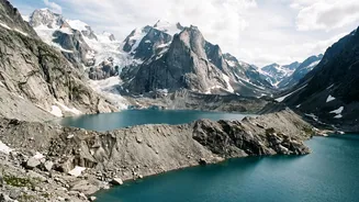
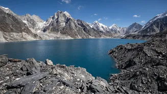
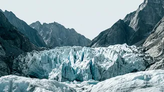
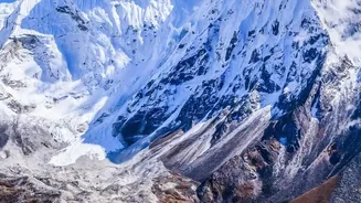
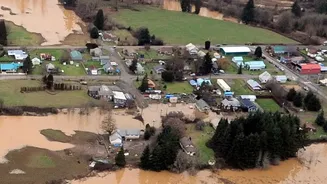
often called the 'Third Pole' for holding the largest concentration of ice outside the polar regions, are warming faster than the global average. This accelerated warming is destabilising the fragile mountain ecosystem, leading to a surge in climate-induced disasters. A recent study published in 'Scientific Reports' provides alarming new data, estimating that nearly 300,000 people across the Himalayas in India, Nepal, and China may now live in flood-prone areas. The footprint of buildings in these potential flood zones has swelled by over 45% in less than a decade, placing more lives and infrastructure directly in harm's way. The primary threats are multifaceted: increasingly intense monsoon rains, landslides on weakened slopes, and the ever-present danger of Glacial Lake Outburst Floods (GLOFs), where lakes formed by melting glaciers suddenly breach their natural dams. These events are not just seasonal concerns but represent a systemic shift, transforming serene valleys into potential disaster zones with terrifying speed.
The Anatomy of a Himalayan Disaster
A GLOF is a particularly insidious threat. As glaciers retreat, they leave behind vast lakes, often held in place only by unstable walls of rock and debris known as moraines. When this dam fails—triggered by an avalanche, an earthquake, or simply the pressure of the rising water—it releases a torrent of water, mud, and boulders downstream. These floods can travel hundreds of kilometres, destroying everything in their path, from villages and roads to critical hydropower plants. Recent disasters have underscored this vulnerability. In 2021, a glacier break in Uttarakhand's Chamoli district led to catastrophic flash floods. A similar event at South Lhonak Lake in Sikkim caused severe flooding in the Teesta river basin. A UN-led study found that between 1835 and 2025, India recorded the highest number of deaths from GLOFs among eight Himalayan countries, with over 6,100 fatalities. These events are becoming more frequent and complex, sometimes involving cascading hazards like a rockfall triggering a flood, which makes them incredibly difficult to predict.
The Gaps in the Warning Grid
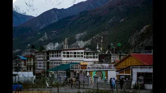
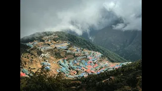
While the threat is growing, the systems designed to provide alerts are struggling to keep up. Experts point to several critical challenges in establishing a robust early warning network across the Himalayas. The sheer geographical complexity of the 2,400-km-long mountain range makes uniform monitoring incredibly difficult. Many remote, high-altitude valleys lack the necessary infrastructure, including reliable mobile networks or satellite connectivity, which are crucial for transmitting real-time data from sensors. Furthermore, existing warning systems are often designed for specific, predictable hazards like seasonal river floods, but are less effective against sudden, cascading events like a rock-and-ice collapse. In one recent disaster in Nepal, a seismic sensor detected a tremor, but it took 38 minutes to issue an SMS alert, by which time the flood had already devastated downstream areas because the initial signal was misinterpreted. A lack of cross-border data sharing and institutional coordination between different agencies further complicates the ability to issue timely and accurate warnings.
The Path to Prevention and Preparedness
The call from scientists and disaster management experts is clear: India must shift from a reactive, post_disaster relief model to one of proactive prevention. This involves building 'smarter', more integrated early warning systems. New approaches advocate for combining high_tech solutions like AI_based predictive models and satellite monitoring with low_cost, community_led initiatives. Involving local communities, who are often the first responders, in monitoring and communication is seen as crucial for 'last_mile connectivity'—ensuring warnings reach the most vulnerable people in time. Recent pilot projects offer a glimpse of what's possible. In October 2026, fully automated GLOF warning systems were installed at Ghepan Lake in Himachal Pradesh and Vasundhara Tal in Uttarakhand. These systems use sensors to continuously monitor water levels and transmit real_time data to disaster authorities, providing crucial lead time to plan evacuations. Expanding such sensor networks to cover all high_risk lakes, identified by agencies like the National Disaster Management Authority (NDMA), is a critical next step.