

A New Eye in the Sky
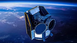
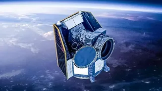
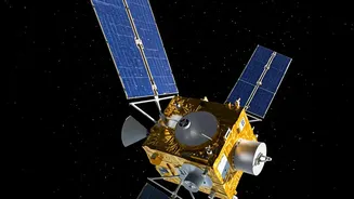
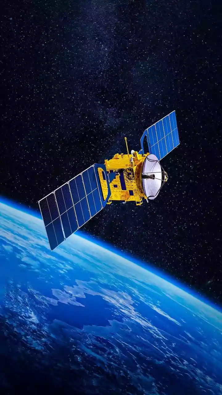
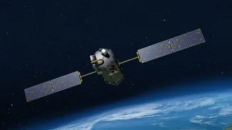
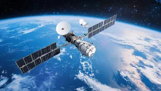
FireSat is not just another satellite; it's a purpose-built constellation designed specifically to detect wildfires. The initiative is led by the nonprofit Earth Fire Alliance (EFA) in a technical partnership with spacecraft manufacturer Muon Space and
Google Research. For decades, first responders have relied on satellites designed for other purposes, like weather forecasting, which often means data arrives too late or lacks the necessary detail. FireSat was developed by interviewing over 200 firefighters and scientists to build a system that meets their specific needs: fast, high-resolution data that enables action. The first prototype launched in March 2025, and the first three operational satellites followed in July 2026, marking the start of a new era in fire management.
Seeing the Heat Through the Smoke
The magic behind FireSat lies in its advanced sensors. Each satellite is equipped with a six-channel multispectral infrared radiometer. This allows it to 'see' heat across various infrared bands, day or night, and even through smoke. Unlike existing systems that struggle to see small fires, FireSat can detect hot spots as small as 5x5 meters—roughly the size of a single-car garage. This high-resolution capability is crucial for catching fires at their ignition point, before they have a chance to grow into uncontrollable infernos. The system uses AI to analyze images, comparing them to previous scans and factoring in weather conditions to reduce false alarms from other heat sources like sun-heated rocks or industrial sites.
The Problem with 'Too Late'
The primary challenge in satellite-based fire detection has always been time. Existing satellite systems can have significant delays—sometimes hours—between when a fire starts and when an alert reaches fire managers. In that critical window, a small, manageable fire can explode in size. Current satellites are often in orbits that revisit the same location infrequently, or they have a lower resolution that can only spot fires larger than a soccer field. FireSat, operating in a low Earth orbit (LEO), is designed to solve this latency problem. While the initial three satellites provide twice-daily coverage, the full constellation of over 50 satellites will eventually scan the entire planet every 20 minutes.
The Google Connection and AI Power
Google's involvement provides a significant boost to the FireSat initiative. Google.org has provided over $15 million in funding to support the work led by the Earth Fire Alliance. Beyond funding, Google Research contributed to the satellite's design and facilitates the 'AI Collaborative: Wildfires,' which brings organizations together to track fires using artificial intelligence. The AI component is vital for processing the vast amounts of data from the satellites, distinguishing real fire threats from false positives, and delivering actionable insights to first responders. This partnership combines the space hardware of Muon Space with the data-processing and AI prowess of Google, creating a powerful public-interest service.
From Data to Action on the Ground
Detecting a fire is only half the battle; the information must reach firefighters in time to be useful. FireSat is designed to provide a continuously updated picture of a fire's perimeter, direction, and intensity. This data helps incident commanders allocate resources more effectively and ensures the safety of frontline responders. The system's prototype, launched in 2025, already proved its value by detecting a small roadside fire in the US that was missed by other satellite systems. As the constellation expands, the goal is to provide fire agencies with near real-time alerts that can be integrated directly into their operational systems, transforming firefighting from a reactive to a proactive effort.