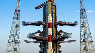









Meet NavIC: India’s Answer to GPS
For years, the world has relied on the American-owned Global Positioning System (GPS) for everything from finding a route to timing financial transactions. To reduce this dependency and bolster strategic autonomy, the Indian Space Research Organisation
(ISRO) developed its own independent regional navigation system: Navigation with Indian Constellation, or NavIC. Designed to provide accurate real-time positioning and timing services, NavIC covers the entire Indian mainland and a region extending 1,500 kilometres beyond its borders. This sovereign capability is not just a matter of technological pride; it's a critical infrastructure that supports military operations, disaster management, transportation, and more, ensuring India has guaranteed access to navigation services, especially during times of conflict when foreign systems might be denied.
A Constellation in Crisis
The heart of any navigation satellite is its atomic clock. These ultra-precise timekeepers are essential for calculating a receiver's position by measuring the travel time of signals from space. Unfortunately, the first generation of NavIC satellites, known as the IRNSS series, was plagued by premature failures of their imported rubidium atomic clocks. Over time, multiple satellites in the original seven-satellite constellation lost their timing capabilities. The situation became critical as the number of fully functional satellites providing positioning services dropped below the minimum requirement of four. With only three operational satellites left, NavIC could no longer provide a standalone positioning service, forcing users to rely on a mix of systems and undermining the core goal of self-reliance.
NVS-03 to the Rescue
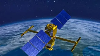
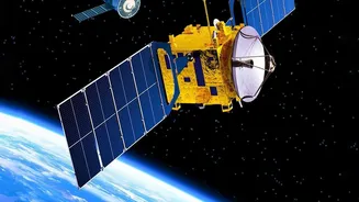
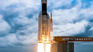
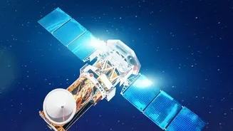
ISRO's NVS-03 mission is a direct response to this challenge. As a second-generation navigation satellite, it is designed to replenish and strengthen the NavIC constellation. Crucially, it is equipped with an indigenously developed rubidium atomic clock, a major step forward in reducing reliance on foreign components and addressing the very issue that crippled the earlier satellites. The NVS series satellites also boast a longer mission life of 12 years, compared to the 10-year lifespan of their predecessors, promising greater stability for the constellation. By successfully adding NVS-03 to the network, ISRO aims to restore the minimum number of satellites required for independent positioning, bringing the NavIC system back to full operational capacity for both its civilian and restricted military users.
More Than Just Maps
The restoration of NavIC is vital for a wide array of applications across India. For the armed forces, it provides secure and uncompromised signals for guiding munitions, navigating warships, and coordinating troop movements without fear of foreign interference. In civilian life, NavIC's reach is just as broad. It enables public vehicle tracking, provides emergency warning alerts for fishermen at sea, and aids in coordinating rescue operations during natural disasters like floods and earthquakes. The system also underpins logistics by enabling fleet management and route optimisation. Furthermore, the new NVS satellites broadcast on the L1 frequency band, which is commonly used by consumer devices, making it easier for NavIC to be integrated into everyday smartphones and wearable tech, expanding its use for personal mobility.